Situation Summary
Armenia remains at composite threat level 2 (rank #85 globally) but faces acute regional instability stemming from U.S.–Israeli airstrikes on Iran and Iranian retaliation, which have prompted the Armenian government to convene emergency security deliberations and heighten border monitoring. Domestic political risk is elevated around planned constitutional reform and ongoing ICJ proceedings against Azerbaijan, while unresolved border demarcation and "Zangezur Corridor" transit disputes continue to create localized flashpoints in southern and eastern provinces. The security environment is characterized by spillover risk from Middle Eastern escalation rather than direct internal conflict, though nationalist sentiment and grief over detained Nagorno-Karabakh officials remain latent drivers of protest and tension.
Key Developments
- Yerevan (2026-06-04): Prime Minister Pashinyan convened an emergency Security Council meeting to assess spillover risk from U.S.–Israeli strikes on Iran and Iranian retaliation, signaling heightened concern over regional escalation affecting Armenian transit corridors and border security.
- Armavir & Ararat Provinces (2026-06-01–06-04): Pashinyan and Foreign Minister Ararat Mirzoyan conducted a pre-election tour of southern provinces shortly after Middle East escalation, projecting domestic stability while monitoring external security and economic impacts.
- National foreign policy (2026-06-03): Armenia's Foreign Ministry publicly stated it is monitoring the Middle East situation and, in a call with Canada's foreign minister, emphasized pursuit of a negotiated settlement, reflecting Yerevan's effort to avoid direct alignment while protecting Armenian interests.
- State border (ongoing): Despite the August 2025 U.S.-brokered peace deal, unresolved flashpoints persist around the four villages Armenia transferred in April 2024 and along proposed "Zangezur Corridor" routes, where Armenia continues to raise sovereignty and security concerns.
- The Hague (November 2024–ongoing): Armenia's ICJ case accusing Azerbaijan of ethnic cleansing and Azerbaijan's countersuit both proceeded to merits phase, remaining an underlying source of bilateral political and reputational tension.
- Domestic politics (2027 timeline): Pashinyan has committed to a constitutional referendum by 2027 to remove language implying eventual reunification with Nagorno-Karabakh; the proposal has already provoked nationalist backlash and carries risk of sustained protest and political instability.
- Nagorno-Karabakh detentions (ongoing): Azerbaijan's trials of sixteen former ethnic Armenian officials face Armenian criticism as "mock trials"; the issue remains a major grievance trigger for nationalist activism and diplomatic friction.
Highest-Risk Areas
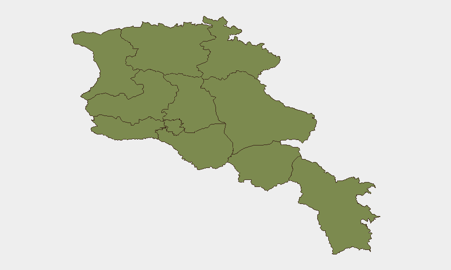
Ararat Province (risk 31.4) and Yerevan (risk 21.8) dominate the sub-national risk profile, together accounting for the vast majority of tracked threat events. Ararat's elevated score reflects its proximity to the Azerbaijan border, the presence of the four transferred villages, and ongoing strategic sensitivity around the "Zangezur Corridor" corridor discussions. Yerevan's risk reflects political-institutional vulnerabilities, government decision-making concentration, and the capital's role as a focal point for nationalist sentiment and potential protest over constitutional reform and detainee issues. Shirak Province (risk 6.8) shows moderate elevation, likely tied to border proximity; all remaining provinces register baseline risk (1.4), indicating Armenia's threat concentration in the south and capital.
How GeoBit Would Assist
Corporate security teams would employ AOI Monitoring & Early Warning on Ararat Province and border zones to detect militant activity or cross-border incidents; Intel Sweep and multi-language OSINT (X, Telegram, Armenian-language media) to track protest mobilization around constitutional reform; and conflict event mapping to correlate military movements with diplomatic milestones. Routing & Network Analysis would support duty-of-care teams planning alternative transit routes should the Zangezur Corridor or northern corridors face disruption from regional escalation.
7-Day Outlook
The immediate risk trajectory depends on Iran's response posture and whether U.S.–Israeli operations continue; Armenian government messaging suggests heightened but controlled concern rather than imminent internal crisis. Constitutional reform debate and the timing of any referendum announcement will be a secondary trigger for nationalist mobilization; no major diplomatic or military escalation with Azerbaijan is forecast in the near term, though border friction remains latent.
Highest-Risk Areas — Ranked
| # | State / Region | Risk |
|---|---|---|
| 1 | Ararat Province | 31.4 |
| 2 | Yerevan | 21.8 |
| 3 | Shirak Province | 6.8 |
| 4 | Lori Province | 1.4 |
| 5 | Tavush Province | 1.4 |
| 6 | Kotayk Province | 1.4 |
| 7 | Gegharkunik Province | 1.4 |
| 8 | Vayots Dzor Province | 1.4 |
| 9 | Syunik Province | 1.4 |
| 10 | Aragatsotn Province | 1.4 |
| 11 | Armavir Province | 1.4 |