Situation Summary
Canada remains a low-threat environment globally (rank #61, composite score 2.0) but exhibits measurable internal security fragmentation across provinces and urban centers. Over the past 24 hours, incident clustering in Ontario, British Columbia, Alberta, and Quebec—spanning armed robbery, gang violence, officer-involved shooting, industrial fatality, and cyber-fraud alerts—reflects elevated localized crime and infrastructure vulnerability rather than systemic national instability. The trajectory is toward sustained operational disruption in major urban corridors and isolated critical-infrastructure exposure, with no indicators of coordinated threat escalation.
Key Developments
- Toronto, Ontario – Police Special Investigations Unit opened inquiry into officer-involved shooting in west-end weapons call; area lockdown and large police response triggered; serious injury reported.
- Montreal, Quebec – Armed robbery at downtown jewelry store; suspects used firearm, fled with high-value merchandise; heightened patrols and manhunt underway in commercial district.
- Surrey, British Columbia – Gang-related shooting at residential vehicle; multiple rounds fired; one victim hospitalized; no arrests; investigation ongoing.
- Edmonton, Alberta – Fatal industrial workplace accident at outskirts facility; partial operational shutdown; occupational health and police investigation active; local infrastructure continuity concerns.
- Ottawa, Ontario – Federal cybersecurity alert issued for surge in phishing and business-email-compromise campaigns targeting Canadian corporate networks; potential critical-infrastructure and financial-operations impact flagged.
- Northern Ontario – Freight rail incident caused temporary line closure; track damage inspection and cargo clearance delayed shipments; supply-chain and remote-area transportation vulnerability exposed.
- Vancouver, British Columbia – Suspicious package at YVR triggered terminal evacuation and flight suspension; item cleared as non-hazardous after technical assessment.
- Halifax, Nova Scotia – Housing and cost-of-living protest at provincial offices remained peaceful but police monitored escalation risk; traffic disruption noted.
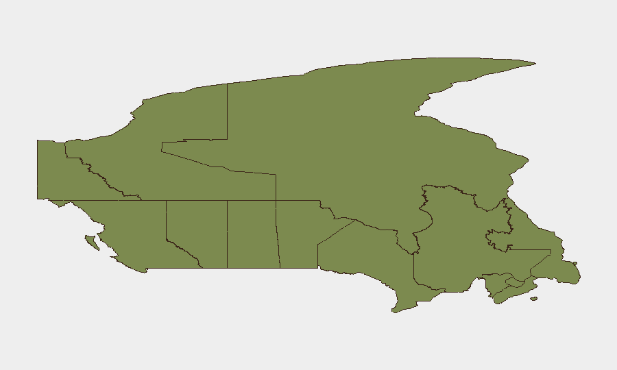
Highest-Risk Areas
Ontario dominates the risk matrix (31.4) and anchors national threat profile; Toronto and Ottawa incidents—spanning violent crime, law-enforcement action, and cyber targeting of critical networks—exemplify urban concentration of criminal, operational, and digital exposure. Nunavut (12.2) and Alberta (9.5) follow, driven by resource-sector infrastructure vulnerability and industrial-safety gaps; British Columbia and Quebec (9.3 and 8.3 respectively) face gang and organized-crime pressure concentrated in Vancouver and Montreal. Remaining provinces show minimal composite scores, indicating risk is highly localized to major urban and industrial nodes rather than distributed nationally.
How GeoBit Would Assist
Corporate security and duty-of-care teams operating in Canada should deploy AOI Monitoring & Early Warning on Ontario (Toronto/Ottawa), British Columbia (Vancouver/Surrey), and Alberta (Edmonton) to detect emerging crime clusters, infrastructure incidents, and cyber threats in near-real time. Intel Sweep and multi-language OSINT (X/Telegram/YouTube) would enable continuous tracking of gang activity, protest escalation sentiment, and cybercriminal targeting of Canadian enterprises and critical infrastructure. GIS & Spatial Analysis paired with alternative route/journey planning allows security teams to model supply-chain and personnel-movement risk around active incident zones and industrial corridors in real time.
7-Day Outlook
Expect continued localized crime enforcement activity and police operations in major urban centers without evidence of coordinated escalation. Cyber-fraud campaigns against corporate networks will likely persist; industrial and transportation infrastructure vulnerability in Ontario and Northern regions remains exploitable. No indicators suggest movement toward national protest unrest or cross-provincial instability over the near term.
Highest-Risk Areas — Ranked
| # | State / Region | Risk |
|---|---|---|
| 1 | Ontario | 31.4 |
| 2 | Nunavut | 12.2 |
| 3 | Alberta | 9.5 |
| 4 | British Columbia | 9.3 |
| 5 | Quebec | 8.3 |
| 6 | Manitoba | 4.1 |
| 7 | Saskatchewan | 2 |
| 8 | New Brunswick | 1.7 |
| 9 | Newfoundland and Labrador | 1.6 |
| 10 | Yukon | 1.4 |
| 11 | Northwest Territories | 1.4 |
| 12 | Prince Edward Island | 1.4 |