Situation Summary
Laos remains a low-threat environment globally (rank #124) but presents localized and sector-specific security challenges that warrant targeted corporate risk management. The security picture is dominated by three persistent drivers: (1) unexploded ordnance legacy across central and southern provinces, (2) organized crime and opportunistic theft in urban/tourist centers, and (3) armed-group activity and restricted-access zones in remote border regions. The threat trajectory is stable; no new incidents of terrorism, large-scale unrest, or infrastructure attacks have emerged in the past 24 hours.
Key Developments
- Xaisomboun Province – Sustained civil-unrest restrictions. U.S. government maintains "Reconsider Travel (Level 3)" designation due to continued violence threats and limited emergency-services capacity; special authorization required for entry.
- Laos–Myanmar border areas – Elevated banditry and drug-trafficking activity. Armed groups opposed to the Burmese government, bandits, and drug traffickers remain active in remote frontier zones, creating risk of armed confrontation and robbery targeting travelers and supply routes.
- Nationwide UXO contamination – Nine provinces and three major highways flagged. Unexploded ordnance from the Indochina War persists across Savannakhet, Xieng Khouang, Saravane, Khammouane, Sekong, Champassak, Houaphan, Attapeu, Luang Prabang, and Vientiane provinces; Routes 7, 9, and 20 carry elevated risk for personnel and logistics.
- Vientiane and tourist hubs – Petty crime and organized theft rings. Bag-snatching from motorcycles, ATM theft, and motorcycle-rental extortion scams continue; organized networks exploit tourists and corporate travelers.
- Tourist nightlife areas (Vang Vieng, Luang Prabang, Vientiane) – Drink-spiking and methanol poisoning. Incidents of spiked beverages, assault, and serious illness from adulterated alcohol reported; Lao authorities have banned Tiger-brand spirits over health concerns.
- Rural conflict zones – Ongoing clashes and military deployments. Unconfirmed armed-group clashes with Lao military have triggered increased checkpoints and security operations affecting overland movement in conflict-affected areas.
- Nationwide – Above-average rainfall and flood risk. Early rainy season with higher-than-expected precipitation is pushing river levels above normal; roads, logistics corridors, and community access remain vulnerable to sudden serious flooding.
Highest-Risk Areas
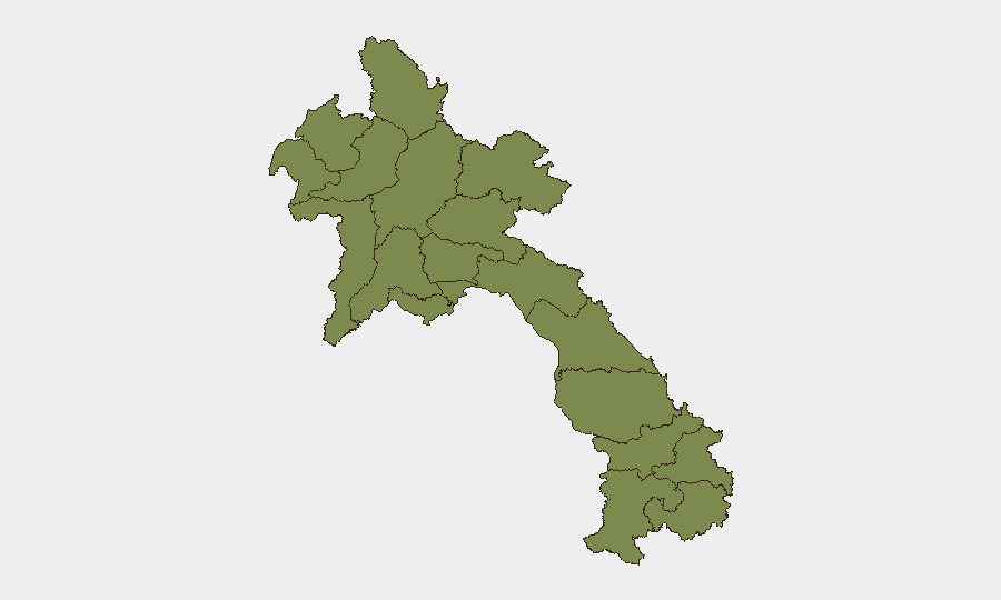
Bolikhamsai Province dominates the sub-national risk ranking (score 31.4)—approximately four times higher than any other region—driven primarily by UXO contamination and rural conflict dynamics. Vientiane Prefecture (7.4) ranks second, reflecting concentrated urban crime, petty theft, and spiking incidents in the capital and surrounding zones. The remaining ten provinces cluster at 1.4, indicating relatively uniform baseline risk from UXO, border instability, and infrastructure hazards, with Xaisomboun Province's political restrictions adding operational friction despite its statistical ranking.
How GeoBit Would Assist
Corporate teams should deploy AOI Monitoring & Early Warning on Bolikhamsai, border crossing points, and Vientiane entertainment districts to detect emerging crime patterns and civil-unrest signals; pair with Intel Sweep and multi-language OSINT to track drug-trafficking networks and armed-group movements in Myanmar-border regions. Routing & Network Analysis enables real-time alternative-route planning that avoids UXO-contaminated zones and flood-affected logistics corridors. GIS & Spatial Analysis linked to UXO hazard mapping and rainfall/flood forecasting provides duty-of-care teams actionable early warning for personnel and asset movements.
7-Day Outlook
No imminent escalation in armed conflict or organized terrorism is forecast. Rainy-season flooding risk will remain elevated through June; logistics teams should plan for potential Route disruptions. Crime targeting corporate and tourist travelers will continue at baseline levels; heightened vigilance around nightlife venues and motorcycle-rental transactions is warranted.
Highest-Risk Areas — Ranked
| # | State / Region | Risk |
|---|---|---|
| 1 | Bolikhamsai | 31.4 |
| 2 | Vientiane Prefecture | 7.4 |
| 3 | Luang Namtha | 1.4 |
| 4 | Bokeo Province | 1.4 |
| 5 | Phongsaly | 1.4 |
| 6 | Oudomxay | 1.4 |
| 7 | Luang Prabang | 1.4 |
| 8 | Houaphanh | 1.4 |
| 9 | Xiangkhouang Province | 1.4 |
| 10 | Sainyabuli Province | 1.4 |
| 11 | Vientiane Province | 1.4 |
| 12 | Xaisomboun Province | 1.4 |