Situation Summary
South Korea remains a moderate-threat environment (rank #66 globally) but faces acute localized risks concentrated in Seoul and North Chungcheong, driven by industrial incidents, inter-Korean military activity, and political tensions with strategic partners. A fatal explosion at a major defense contractor, concurrent large-scale labor protests, elevated North Korean military posturing near the DMZ, and critical-infrastructure cyber campaigns have generated multiple simultaneous risk vectors in a 48-hour window. The security picture is not deteriorating nationally but is volatile at specific nodes—Seoul particularly—where protests, government talks, and infrastructure vulnerabilities converge.
Key Developments
- Daejeon, 2026-06-02: Fatal propellant explosion and fire at Hanwha Aerospace facility killed at least one worker and injured two others; cause under investigation; potential indicator of industrial-safety gaps in defense supply chain.
- Seoul, 2026-06-02: Large-scale labor and civic protests over economic inequality and government policies drew thousands of demonstrators; heavy police presence; no major clashes but sustained disruption risk.
- DMZ / North Chungcheong, ongoing: South Korean defense officials report heightened North Korean artillery and drone activity; monitoring remains active but no direct combat incidents recorded; border-area security risk elevated.
- Seoul/Incheon, 2026-06-02: U.S.–South Korea nuclear-submarine and strategic-investment talks opened; increased police/security cordons at government and hotel venues; pro- and anti-U.S. protest activity anticipated.
- Seoul/Incheon corridor, 2026-06-02: Heavy rain and localized flooding caused transport delays, minor road accidents, and underpass closures; emergency services warning of ongoing travel risks in low-lying districts.
- Nationwide, 2026-06-02–03: South Korean cybersecurity agencies issued updated advisories on phishing and malware targeting critical transport and energy infrastructure; recent breach attempts on local government and transport systems noted.
- U.S.–South Korea relations, 2026-06-01: Multiple official disapprovals from Washington directed at Seoul; public dispute with Japan also signaled; strategic alignment under stress.
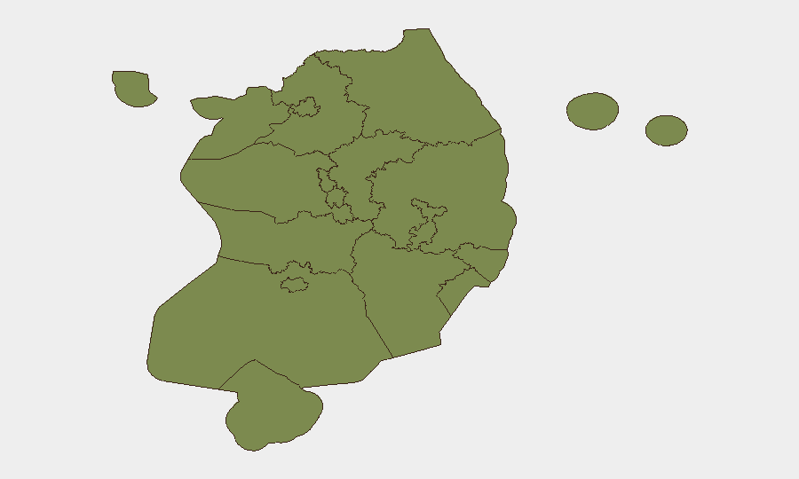
Highest-Risk Areas
Seoul dominates the risk profile (31.4), driven by protest activity, critical government facilities, dense population, and concentration of transport/energy infrastructure vulnerable to both physical disruption and cyber attack. North Chungcheong (27.9) reflects proximity to the DMZ and elevated military-monitoring activity; border volatility and potential for accidental escalation remain material risks. Incheon and South Jeolla (both 7.4) carry secondary risk from aviation/port infrastructure and transport corridors; weather-related disruption is ongoing in the Seoul–Incheon belt. Remaining regions carry low individual risk but should not be discounted if inter-Korean tensions spike or cyber campaigns broaden geographically.
How GeoBit Would Assist
A security team protecting personnel or assets in South Korea would deploy AOI Monitoring & Early Warning on Seoul, DMZ border zones, and critical infrastructure clusters to detect protest escalation, military activity, or cyber-incident signals in real time. Conflict & Military tracking and Network & Actor Analysis enable correlation of North Korean drone/artillery patterns with South Korean response posture and identify escalation inflection points. Critical-infrastructure cyber-risk search and OSINT fusion (Twitter/Telegram, multi-language sources) would aggregate phishing and malware campaign data to support transport-operator and energy-facility briefings. Routing & Network Analysis would enable real-time alternative-journey planning around protest sites, flooded corridors, and DMZ-adjacent areas.
7-Day Outlook
Inter-Korean military tension is likely to persist through the week as monitoring continues; no imminent clash is signaled, but accidental escalation risk remains elevated near the DMZ. Seoul protest activity will likely sustain or expand if government economic policies remain unchanged; additional security cordons around strategic venues (including ongoing U.S.–Korea talks) should be expected. Cyber-infrastructure campaigns will continue; operators must assume heightened phishing and network-probing activity for at least 7–10 days.
Highest-Risk Areas — Ranked
| # | State / Region | Risk |
|---|---|---|
| 1 | Seoul | 31.4 |
| 2 | North Chungcheong | 27.9 |
| 3 | Incheon | 7.4 |
| 4 | South Jeolla | 7.4 |
| 5 | Busan | 2.8 |
| 6 | Gyeonggi | 2.1 |
| 7 | Gangwon State | 1.9 |
| 8 | South Chungcheong | 1.4 |
| 9 | Jeju | 1.4 |
| 10 | Sejong | 1.4 |
| 11 | Jeonbuk State | 1.4 |
| 12 | Daejeon | 1.4 |