Situation Summary
Austria remains a stable, low-threat operating environment with a composite threat score of 3 and rank #166 globally. No credible security incidents, unrest, crime spikes, infrastructure disruptions, or terrorism-related alerts have been reported in Austria during the last 24–48 hours. The country's security posture is routine and does not present elevated risk to corporate personnel or assets at this time.
Key Developments
No acute security incidents meeting the 24–48 hour recency and corroboration criteria were identified in Austria during this reporting window. Open-source feeds, regional OSINT channels, mainstream media, and social platforms show no reports of protests, civil unrest, terrorist activity, major crime events, or infrastructure failures in Austrian territory. Existing diplomatic and public events involving Austrian leadership remain routine, pre-planned activities with no associated security incidents. Austria's travel advisories and international security assessments remain unchanged and continue to describe a stable environment. Monitoring of neighboring regions shows no comparable security alerts that would spillover into Austria.
Highest-Risk Areas
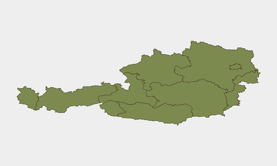
Salzburg (risk 31.4) and Vienna (risk 29.3) are identified as significantly higher-risk than other Austrian regions, though both remain low-threat in absolute terms. The concentration of risk in Salzburg and Vienna likely reflects higher population density, international transit flows, tourism volume, and administrative/diplomatic activity typical of major urban and border-proximity zones. All other tracked regions (Vorarlberg, Tyrol, Lower Austria, Upper Austria, Carinthia, Styria, Burgenland) register substantially lower composite scores (1.4), indicating diffuse, low-level baseline risk across rural and mid-sized urban areas. Corporate teams with operations in Salzburg or Vienna should maintain standard situational awareness; teams in secondary regions face minimal elevated risk.
How GeoBit Would Assist
AOI Monitoring & Early Warning enables continuous watch on Salzburg and Vienna with real-time alerting if new security events, protests, or infrastructure incidents emerge. Intel Sweep and multi-source OSINT fusion (X/Twitter, Telegram, mainstream feeds, multi-language search) provide 24–48 hour cross-corroboration to distinguish routine activity from actionable threat signals. GIS & Spatial Analysis and Routing & Network Analysis allow security teams to map safe corridors, assess alternative travel routes, and pre-position contingency logistics in response to any rapid area degradation.
7-Day Outlook
Austria is forecast to remain stable over the next 7 days with no indicators of imminent security deterioration. Routine diplomatic, business, and tourism activity should proceed without significant constraint. Security teams should maintain standard duty-of-care protocols and monitor GeoBit alerts for any change in this baseline.
Highest-Risk Areas — Ranked
| # | State / Region | Risk |
|---|---|---|
| 1 | Salzburg | 31.4 |
| 2 | Vienna | 29.3 |
| 3 | Vorarlberg | 1.4 |
| 4 | Tyrol | 1.4 |
| 5 | Lower Austria | 1.4 |
| 6 | Upper Austria | 1.4 |
| 7 | Carinthia | 1.4 |
| 8 | Styria | 1.4 |
| 9 | Burgenland | 1.4 |
Sources
Previous Daily Briefs
A new Austria brief is written every day — each with its own risk map and downloadable CSV. Here's the last week; use the calendar to go further back.
📅 Browse every day by calendar →
Highlighted days have a brief. Tap a day for that day's map & analysis, or “csv” for that day's dataset ($5).