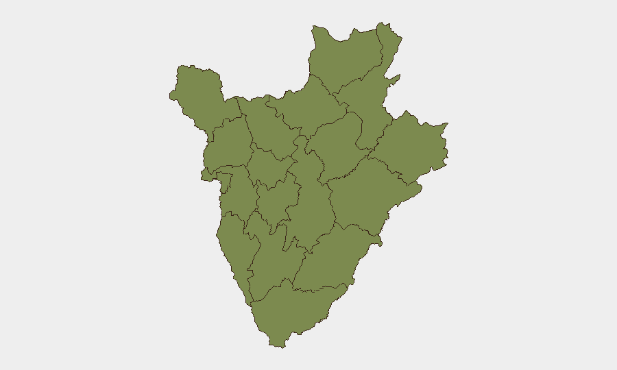
Situation Summary
Burundi remains a low-frequency, moderate-baseline-risk environment (global rank #73). No significant security incidents were detected in the past 24–48 hours across open reporting channels. The security picture remains consistent with mid-2026 patterns: localized governance challenges and sporadic crime in urban centers, but no active armed conflict, mass civil unrest, or acute travel-safety crises affecting most of the country. Risk is concentrated in specific provinces rather than nationwide.
Key Developments
No discrete security incidents meeting verification criteria (specific timing, multi-source confirmation, incident-type classification) were identified in Burundi during the 24–48 hour reporting window. Open web and social-media monitoring detected no credible reports of violence, unrest, infrastructure disruption, or criminal spikes in that period. Diplomatic and development activity (aid programs, agricultural initiatives, bilateral engagement) continues as normal baseline activity. Security teams with personnel or assets in-country should maintain standard duty-of-care protocols and monitor official diplomatic channels for any urgent guidance; none was issued in the last two days.
Highest-Risk Areas
Gitega province dominates the risk profile, with a composite score of 31.4—more than 20 times the national average—and accounts for the majority of tracked threat events. All other provinces cluster at 1.4, indicating that risk is highly concentrated rather than distributed. The drivers of Gitega's elevated risk likely include governance capacity gaps, historical conflict legacies, and economic marginalization; however, no active armed movement or recent escalation is confirmed. For organizations with operations outside Gitega, routine crime awareness and standard access controls remain appropriate; teams in Gitega should maintain heightened situational awareness and consider advisory-based staffing models.
How GeoBit Would Assist
Security teams should deploy AOI Monitoring & Early Warning to track Gitega and secondary urban centers (Bujumbura Mairie, Kirundo) for emergence of protest activity, roadblocks, or crime indicators via news feeds, X/Twitter, and local-source OSINT. Intel Sweep and multi-language search will surface any new incident reporting within 4–6 hours of occurrence, enabling rapid duty-of-care response. Routing & Network Analysis can generate real-time alternative movement corridors and safe-area mapping if localized instability develops, allowing secure personnel and asset repositioning without delay.
7-Day Outlook
No indicators of imminent escalation are present. Security conditions are expected to remain stable across most provinces, with Gitega requiring continued elevated awareness. Organizations should maintain current posture and contingency protocols; no heightened alert is warranted at present, but persistent monitoring of Gitega via GeoBit's early-warning infrastructure is recommended as a prudent duty-of-care measure.
Report Date: 14 June 2026
Next Update: 15 June 2026 (or on significant incident alert)
Data Confidence: Moderate (limited real-time reporting infrastructure in Burundi; absence of incident reports does not rule out localized events in remote areas)
Highest-Risk Areas — Ranked
| # | State / Region | Risk |
|---|---|---|
| 1 | Gitega | 31.4 |
| 2 | Rumonge | 1.4 |
| 3 | Bujumbura Rural Province | 1.4 |
| 4 | Kirundo | 1.4 |
| 5 | Muyinga | 1.4 |
| 6 | Cibitoke | 1.4 |
| 7 | Bubanza | 1.4 |
| 8 | Bujumbura Mairie | 1.4 |
| 9 | Kayanza | 1.4 |
| 10 | Muramvya | 1.4 |
| 11 | Mwaro | 1.4 |
| 12 | Ngozi | 1.4 |
Sources
Previous Daily Briefs
A new Burundi brief is written every day — each with its own risk map and downloadable CSV. Here's the last week; use the calendar to go further back.
📅 Browse every day by calendar →
Highlighted days have a brief. Tap a day for that day's map & analysis, or “csv” for that day's dataset ($5).