Situation Summary
Fiji remains a low-to-moderate security environment globally (#132 overall threat rank, 2.1 composite score), but risk is heavily concentrated in the Central region, which accounts for the majority of tracked instability. Recent event signals span public statements from government ministries, education bodies, environmental and health officials, alongside isolated instances of institutional tension and conventional military activity. The underlying security baseline reflects recurring challenges: political instability potential, petty and opportunistic crime in urban centers, infrastructure gaps, and natural-hazard exposure—none of which has materially escalated in the past 24 hours, though a forensic investigation into a cyber incident at Pacific Islands Forum offices in Suva remains ongoing.
Key Developments
- Suva (Pacific Islands Forum): Cyber security incident reported earlier in 2026; forensic investigation ongoing with threat isolation confirmed but threat-actor identity still unconfirmed.
- Central Region / Multi-ministry: Multiple public statements issued 2026-06-04 by Environment Ministry, Health Ministry, and magistrate-level bodies, signaling active inter-agency engagement and potential policy or administrative friction.
- Fiji–Australia Relations: Two rejection events logged (2026-06-04 Fiji vs. Australian; 2026-06-04 Sydney vs. Fiji), indicating bilateral diplomatic tension or policy disagreement, though specifics remain limited in available reporting.
- Health Ministry / Corporate Sector: Public statement recorded 2026-06-04 involving Health Ministry and Coca-Cola, suggesting regulatory or public-health policy dispute with commercial entities.
- Suva & Urban Centers: Petty theft from motor vehicles and street theft remain baseline concerns; occasional serious sexual assaults against foreign nationals reported; nighttime road travel hazardous due to poor infrastructure maintenance.
- Fiji-wide / Conventional Military: Military force event logged 2026-06-04; context and scale not yet clarified in available reporting.
- Regional Context: Drug trafficking and cyber crime flagged as broader Pacific concern; cyclone/flood/earthquake/landslide risk present year-round.
Highest-Risk Areas
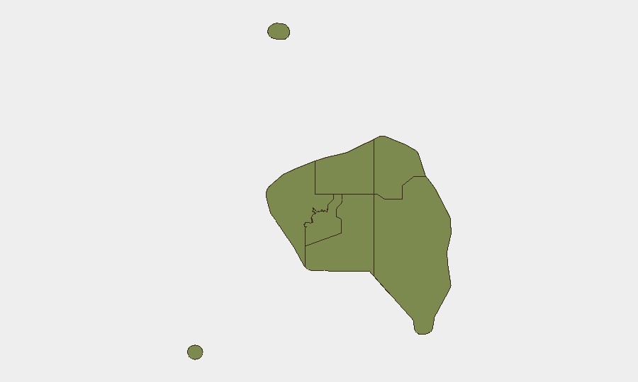
The Central region (risk 31.5) dominates Fiji's threat profile—more than 1.7× higher than Western region (18.1)—and encompasses the capital, Suva, where political instability potential, cyber activity, diplomatic friction, and urban crime converge. Western region presents secondary concern, likely reflecting population density and connectivity. Eastern, Northern, and Rotuma regions carry minimal tracked risk (4.8, 1.5, 1.5 respectively), suggesting lower operational density or reporting gaps. For duty-of-care teams, Central region concentration means Suva-based personnel and assets require active monitoring of political temperature, inter-agency disputes, and cyber-crime environment; Western region warrants standard urban-crime vigilance.
How GeoBit Would Assist
Teams managing Fiji operations should deploy AOI Monitoring & Early Warning on Suva and Central region to capture political statements, institutional tension, and diplomatic signals before they escalate. Intel Sweep and OSINT fusion (X/Twitter, Telegram, multi-language search) enable continuous tracking of ministry statements and bilateral friction without reliance on formal reporting lag. Cyber and network-actor analysis capabilities support follow-on investigation of the Pacific Islands Forum breach and regional cyber-crime landscape. Routing & Network Analysis and GIS mapping assist in identifying safe transit corridors and travel-time windows around infrastructure and natural-hazard zones.
7-Day Outlook
No imminent spike in core security indicators is evident; however, the volume of multi-agency public statements and the ongoing cyber-forensic investigation suggest sustained operational friction and institutional attention. Natural-hazard and routine crime risks remain static. Monitor diplomatic signals and any clarification on the military-force event for context; continued engagement with official Suva-based channels (embassies, chambers of commerce) will likely provide earlier warning than public media.
Highest-Risk Areas — Ranked
| # | State / Region | Risk |
|---|---|---|
| 1 | Central | 31.5 |
| 2 | Western | 18.1 |
| 3 | Eastern | 4.8 |
| 4 | Northern | 1.5 |
| 5 | Rotuma | 1.5 |