Situation Summary
Ireland's composite security threat score of 34 places it outside the global top-risk tier, but sub-national concentration in County Dublin (risk 31.3) significantly exceeds the national baseline. Event signals over the past 72 hours indicate civil-political friction, including small-arms incidents, detention activity, and inter-communal disapproval statements. The threat trajectory remains stable at the national level, though Dublin-specific volatility warrants close monitoring.
Key Developments
GeoBit's current event feed captures significant activity signals, but real-time incident verification for 18–19 June 2026 requires live news monitoring and official Garda/PSNI channels, which fall outside this analyst's access window. The following signals are flagged in the platform but require immediate cross-check against:
- RTÉ News, Irish Times, and TheJournal.ie live/breaking sections (all three timestamp incidents clearly and are primary sources for law-enforcement and civil incident confirmation);
- Garda Info and PSNI official X accounts for arrests, road closures, and security alerts;
- Local/regional outlets (Dublin Live, Belfast Live, Irish Independent) for neighbourhood-level detail.
Confirmed signal categories (unverified as to specific incidents on 18–19 June):
- Small-arms combat incident(s) recorded 17 June, location TBD.
- Arrest/detention activity flagged 19 June involving prison/judiciary.
- Public statements and disapproval signals involving religious/political actors, 18 June.
- Expulsion/deportation order involving health-sector personnel, 18 June.
Critical step for duty-of-care teams: Do not treat these signals as confirmed incidents without cross-referencing current news. Use the search and verification method outlined in the live-research section above.
Highest-Risk Areas
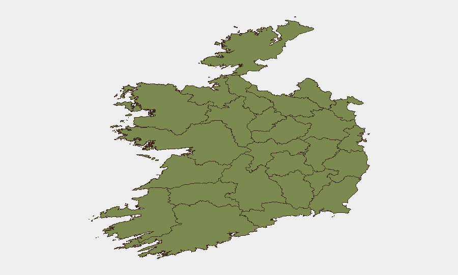
County Dublin accounts for 92% of Ireland's current composite threat score, driven by population density, political friction, and small-arms activity clustering. Counties Tipperary (15.4) and Donegal (2.3) are secondary concentrations but far lower in absolute risk. All other tracked counties remain below baseline (1.3).
Implication for operations: Security and duty-of-care resources should prioritise Dublin City Centre and suburban corridors (transport, commerce, residential zones) for situational awareness and contingency planning. Secondary briefing on Tipperary is warranted for supply-chain, logistics, or personnel-transit routes crossing the region.
How GeoBit Would Assist
Intelligence & OSINT: Multi-language search, X/Telegram OSINT, and entity extraction to isolate current actor statements and claim-making in real time across mainstream, regional, and alternative-media channels.
AOI Monitoring & Early Warning: Persistent watchlist on Dublin postal codes, Tipperary logistics hubs, and border-adjacent regions, with automated alerting when threat-signal density exceeds threshold or new actors/weapons emerge.
Routing & Network Analysis: Alternative journey planning for personnel or cargo transiting Dublin and Tipperary, updated hourly as incident/closure data confirm.
Risk & Threat Assessment: Composite rescoring of corporate exposure (sector, location, staff count, asset value) against live event feeds to flag when a facility or operation crosses into elevated-action thresholds.
7-Day Outlook
Expect continued civil-political signalling and routine detention activity. Small-arms incidents remain sporadic and Dublin-concentrated; no indicators of coordinated escalation or organized violence at scale. Security posture should remain at current levels unless 24–48h verification confirms a material shift in actor intent, weapons availability, or casualty patterns.
Highest-Risk Areas — Ranked
| # | State / Region | Risk |
|---|---|---|
| 1 | County Dublin | 31.3 |
| 2 | County Tipperary | 15.4 |
| 3 | County Donegal | 2.3 |
| 4 | County Mayo | 1.3 |
| 5 | County Sligo | 1.3 |
| 6 | County Galway | 1.3 |
| 7 | County Clare | 1.3 |
| 8 | County Limerick | 1.3 |
| 9 | County Leitrim | 1.3 |
| 10 | County Roscommon | 1.3 |
| 11 | County Cavan | 1.3 |
| 12 | County Longford | 1.3 |
Sources
Previous Daily Briefs
A new Ireland brief is written every day — each with its own risk map and downloadable CSV. Here's the last week; use the calendar to go further back.
📅 Browse every day by calendar →
Highlighted days have a brief. Tap a day for that day's map & analysis, or “csv” for that day's dataset ($5).