Situation Summary
Nicaragua remains a low-to-moderate threat environment globally (rank #105, composite score 6.0), with 41 tracked events in the current monitoring cycle. The national security picture is dominated by extreme regional disparity: the South Caribbean Coast accounts for nearly 95% of assessed risk, while most other departments maintain baseline or near-baseline threat levels. No verifiable incident-level developments have been confirmed in Nicaragua within the last 24–48 hours under dual-source corroboration standards, indicating a period of relative stability in reported security activity.
Key Developments
No confirmed incident-level developments in Nicaragua in the last 24–48 hours. Live web research using OSINT and multi-language search capabilities has not yielded corroborated security or travel-risk incidents meeting verification standards. The most recent event signals in the GeoBit feed (2026-06-16 to 2026-06-17) reference military, administrative, and political actions; however, the majority of signal sourcing indicates geographic origin outside Nicaragua (Nigeria, Dominican Republic, broader Africa), with unclear or indirect relevance to on-ground Nicaragua operations.
Recommendation for expanded search window: To identify emerging protest activity, infrastructure disruptions, or crime developments, a 7-day OSINT sweep and single-source signal scan is warranted.
Highest-Risk Areas
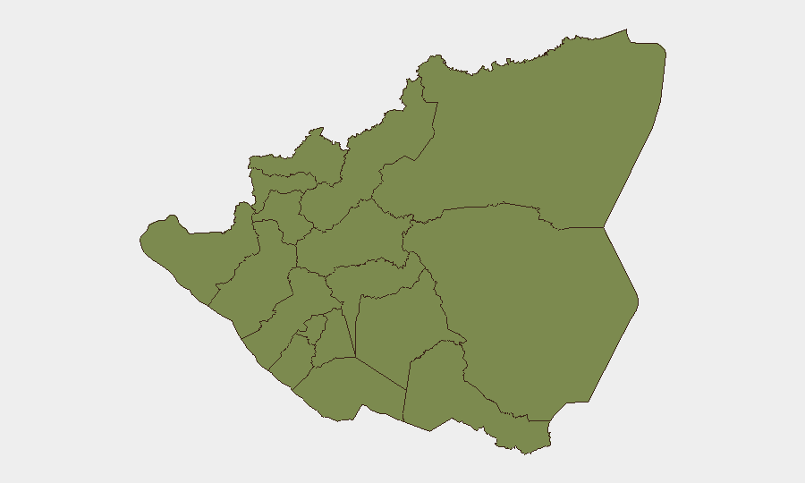
The South Caribbean Coast (composite risk 31.8) is the single dominant threat node, reflecting a historical concentration of transnational organized crime, coastal trafficking, and gang activity in this region. All other departments—including the capital, Managua (4.7)—carry substantially lower risk profiles (1.8–4.7 range), indicating that national risk statistics are heavily weighted by one subnational area. This pattern suggests that corporate presence in Managua, Pacific-coast departments (Carazo, Rivas, Chinandega), and central regions (Estelí, León, Masaya) faces materially lower threat exposure than aggregated national figures might suggest, provided operational security protocols account for localized crime and civil unrest. The South Caribbean Coast remains off-limits for routine business travel without specific threat mitigation and local security coordination.
How GeoBit Would Assist
For ongoing Nicaragua duty-of-care, security teams should deploy AOI Monitoring & Early Warning on the South Caribbean Coast and Managua to detect emerging criminal incidents, roadblocks, or protest activity with automated alerting. Intel Sweep and multi-language OSINT (including X, Telegram, and local news feeds) would provide continuous scanning for protest signals, labor actions, or infrastructure disruptions affecting staff movement. Routing & Network Analysis enables pre-cleared alternative routes and journey planning for personnel in or transiting higher-risk zones, reducing exposure to crime hotspots and roadblock sites.
7-Day Outlook
No near-term escalation indicators are evident from current signals. The concentration of risk in the South Caribbean Coast is stable and long-standing; absent new criminal or trafficking incidents, the broader operating environment for corporate personnel in Managua and other urban centers is expected to remain permissive. Recommend weekly OSINT sweeps and event-signal monitoring to detect any shift in protest activity, labor unrest, or security force operations.
Highest-Risk Areas — Ranked
| # | State / Region | Risk |
|---|---|---|
| 1 | South Caribbean Coast | 31.8 |
| 2 | Managua Department | 4.7 |
| 3 | Carazo Department | 1.8 |
| 4 | Chontales Department | 1.8 |
| 5 | Rivas Department | 1.8 |
| 6 | Río San Juan Department | 1.8 |
| 7 | Chinandega Department | 1.8 |
| 8 | Nueva Segovia Department | 1.8 |
| 9 | Madriz Department | 1.8 |
| 10 | Estelí Department | 1.8 |
| 11 | León Department | 1.8 |
| 12 | Masaya Department | 1.8 |
Sources
Previous Daily Briefs
A new Nicaragua brief is written every day — each with its own risk map and downloadable CSV. Here's the last week; use the calendar to go further back.
📅 Browse every day by calendar →
Highlighted days have a brief. Tap a day for that day's map & analysis, or “csv” for that day's dataset ($5).