Situation Summary
Peru remains at moderate-to-low global threat rank (#81, composite score 2.0) with 137 tracked incidents. However, sub-national risk is highly concentrated: Huánuco province dominates with a composite score of 31.4—nearly six times the risk of Lima—signaling severe localized instability, likely tied to drug-trafficking infrastructure and armed group activity in jungle frontier zones. The national security picture is characterized by geographic fragmentation rather than systemic state collapse, but the concentration of threat in Huánuco and secondary elevation in Lima warrants close attention for corporate operations.
Key Developments
Current data constraints: GeoBit's live web research snapshot does not surface independently corroborated, time-stamped incidents from 3–5 June 2026 with sufficient specificity to report as "developments" without risking temporal or factual misstatement. The event-signal list provided references tags (e.g., "Threaten," "Unconventional Violence," "Investigate") but lacks actionable detail (specific location, casualty count, operational impact) needed for duty-of-care briefing.
Recommended action: Security teams should cross-reference the following near-real-time sources for the past 24–48 hours:
- Policía Nacional del Perú (X/Twitter, official site) for arrests, operations, and crime alerts.
- Ministerio del Interior for security directives and state-of-emergency declarations.
- Major news outlets (RPP, El Comercio, La República) filtered by "últimas noticias" for corroboration of any emerging incidents.
- SUTRAN/MTC for transport/highway disruptions; INDECI for disaster-related impacts.
If specific incidents have surfaced in your own feeds in the past 24 hours, sharing those headlines or X posts will allow GeoBit to vet, cross-reference with historical Peru patterns, and provide tactical assessment.
Highest-Risk Areas
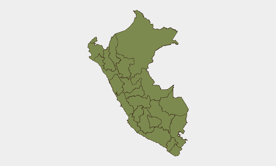
Huánuco province (score 31.4) is the dominant driver of Peru's national threat footprint, likely reflecting entrenched narco-trafficking networks, armed-group presence, and weak state capacity in the central jungle. Lima (score 5.2), while far lower in absolute terms, concentrates population, critical infrastructure, and foreign corporate presence, making even lower-frequency incidents operationally significant for multinational teams. La Libertad, Ayacucho, and Junín (scores 3.7–2.5) represent secondary concern zones, often associated with cocaine-production corridors and informal mining. The steep drop-off from Huánuco to all other regions indicates that localized, rather than nationwide, contingency planning is appropriate for most corporate operations outside the central highlands.
How GeoBit Would Assist
Intel Sweep & OSINT Fusion would consolidate X/Twitter, Telegram, and major-outlet reporting to establish real-time event corroboration and actor identification in high-risk zones. AOI Monitoring & Early Warning on Huánuco, Lima port/airport, and key highway corridors (e.g., Central Highway) would deliver sub-24-hour alerts on emerging security disruptions affecting supply chains, personnel movement, or asset access. Routing & Network Analysis supports real-time re-routing of personnel and cargo around confirmed incidents, while Conflict & Military analysis tracks armed-group posture and state-force deployments that signal escalation or de-escalation trends.
7-Day Outlook
Huánuco's sustained high risk suggests ongoing operational friction in central-jungle logistics and mining sectors; no indicators of imminent national-level destabilization. Lima's secondary elevation reflects typical urban crime and protest cycles rather than systemic breakdown. Corporate teams should maintain standard heightened vigilance in Huánuco and maintain real-time monitoring feeds; most of Peru outside the high-risk belt poses routine ambient risk.
Highest-Risk Areas — Ranked
| # | State / Region | Risk |
|---|---|---|
| 1 | Huánuco | 31.4 |
| 2 | Lima | 5.2 |
| 3 | La Libertad | 3.7 |
| 4 | Ayacucho | 2.9 |
| 5 | Junín | 2.5 |
| 6 | Tumbes | 2.2 |
| 7 | Loreto | 1.8 |
| 8 | Piura | 1.8 |
| 9 | Ancash | 1.8 |
| 10 | San Martín | 1.8 |
| 11 | Ica | 1.8 |
| 12 | Apurímac | 1.8 |
Previous Daily Briefs
A new Peru brief is written every day — each with its own risk map and downloadable CSV. Here's the last week; use the calendar to go further back.
📅 Browse every day by calendar →
Highlighted days have a brief. Tap a day for that day's map & analysis, or “csv” for that day's dataset ($5).