Situation Summary
The United States faces a composite threat environment marked by dispersed but persistent risks spanning protest activity, violent crime, infrastructure vulnerability, and operational disruptions. Recent 24-hour signals indicate elevated tension in federal security zones ahead of a state visit, concurrent mass-casualty incidents in major urban centers, and weather-driven infrastructure strain in critical regions. The national threat ranking (54th globally, score 4.5) reflects a relatively stable baseline, but sub-national concentration of risk in California, Texas, and New York—driven by protest activity, gang violence, and transit crime—warrants targeted asset-protection measures.
Key Developments
- Washington, DC (federal zone): Heightened security perimeter and road closures implemented for Kenyan President Ruto's state visit; protest zones established for demonstrations on US-Africa policy and Gaza; expect elevated disruption through event conclusion and secondary confrontation risk at Capitol Hill and Federal Triangle.
- Philadelphia, Pennsylvania: Late-night mass shooting in North Philadelphia left multiple injured; incident location correlates with established high-crime corridor, signaling continuation of unpredictable firearm violence in residential areas with limited notice.
- Los Angeles, California: Climate and Palestine-related demonstrators briefly blocked freeway lanes; California Highway Patrol diverted traffic and made arrests, illustrating vulnerability of major transportation corridors to flash-mob disruption and secondary vehicle-safety risks.
- New York City, New York: NYPD responded to subway assault (knife attack, hospitalized victim, suspect at large) during evening hours in Manhattan station; reflects recurring personal-security exposure on crowded transit despite officer deployments.
- Chicago, Illinois: Youth disturbances and retail theft in the Loop and Near North Side required rapid police response; pattern consistent with flash-mob gatherings impacting central business and tourism zones with minimal advance warning.
- Houston, Texas: Severe thunderstorms produced localized flooding, power outages affecting tens of thousands, and traffic-signal disruptions; temporary but significant impact on ground mobility and emergency-response capability.
- Miami, Florida: Multiple armed street robberies reported in Brickell and Edgewater near nightlife zones; heightened risk for foot traffic between entertainment venues, short-term rentals, and parking areas during late-night hours.
- US nationwide (aviation): Major airline IT failures affecting check-in and boarding systems across domestic network caused cascading flight delays and cancellations, exposing systemic vulnerability of critical air-transport infrastructure to software outages.
Highest-Risk Areas
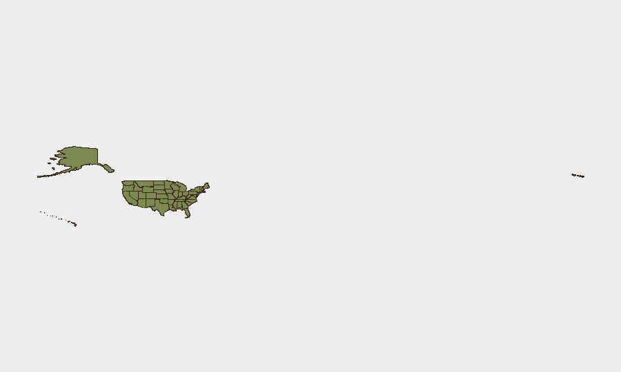
California (33.1) and Texas (26.2) dominate sub-national risk due to the combination of large population bases, frequent protest mobilization around climate and Middle East policy, persistent organized retail crime, and weather-driven infrastructure strain. New York (20.6) experiences acute concentrated risk from transit crime, crowded public spaces, and federal security events. Kansas (17.6), despite smaller population, reflects disproportionate protest activity and violent-crime incidents. For corporate teams with assets in these states, the drivers are unpredictable mass gatherings, firearm violence in urban cores, and infrastructure fragility rather than single-source threats.
How GeoBit Would Assist
Intel Sweep, OSINT fusion, and sentiment/temporal analysis enable continuous monitoring of protest mobilization, emerging flashpoint indicators, and public-statement patterns across social media and open sources to identify rally-points and timing 48–72 hours in advance. AOI Monitoring & Early Warning with persistent geofencing around corporate facilities and employee-commute corridors in high-risk metros (LA, NYC, Chicago, Philadelphia) provides real-time disruption and crime-incident alerting. Routing & Network Analysis supports rapid alternative-route and journey-planning updates for staff during flash-mob activity or infrastructure failure.
7-Day Outlook
The state-visit security posture in Washington, DC will remain elevated through week's end, with sustained protest risk and localized road closures. Violent-crime incidents in Philadelphia, Miami, and Chicago are expected to continue at baseline frequency; no specific trend acceleration is apparent. Weather-driven infrastructure strain in Texas and the Southwest will likely persist, and aviation IT resilience remains vulnerable to repeat disruptions.
Highest-Risk Areas — Ranked
| # | State / Region | Risk |
|---|---|---|
| 1 | California | 33.1 |
| 2 | Texas | 26.2 |
| 3 | New York | 20.6 |
| 4 | Kansas | 17.6 |
| 5 | Florida | 14.6 |
| 6 | New Jersey | 11.5 |
| 7 | Virginia | 11.3 |
| 8 | Ohio | 10.4 |
| 9 | Illinois | 10.3 |
| 10 | Massachusetts | 9.1 |
| 11 | Iowa | 8.8 |
| 12 | North Carolina | 8.8 |
Sources
Previous Daily Briefs
A new United States brief is written every day — each with its own risk map and downloadable CSV. Here's the last week; use the calendar to go further back.
📅 Browse every day by calendar →
Highlighted days have a brief. Tap a day for that day's map & analysis, or “csv” for that day's dataset ($5).