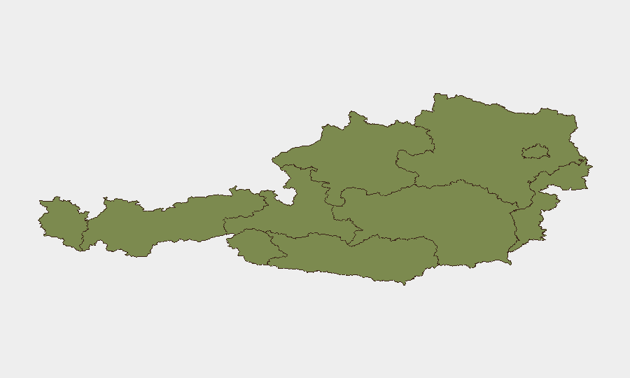
Situation Summary
Austria maintains a composite threat score of 6 (rank #139 globally), reflecting a relatively stable security environment with 38 tracked events. However, Vienna's risk score of 31.9—nearly 60% higher than all other regions combined—concentrates operational concern in the capital and surrounding Lower Austria. Recent signals (23–25 June) indicate elevated investigative and regulatory activity by authorities, though specific incident details remain unclear from available open sources.
Key Developments
- 2026-06-25 · Vienna · Authorities Investigation: Two separate investigative actions initiated by Austrian authorities on 25 June; scope and subjects not yet clarified in public reporting.
- 2026-06-23 · Multi-Location · Regulatory & Investigative Escalation: Austrian authorities issued multiple formal disapprovals and initiated investigations on 23 June, including actions involving state prison facilities and police oversight bodies, indicating potential systemic or institutional review.
- 2026-06-23 · Vienna/National · International Coordination Signal: Public statements and disapproval issued by authorities regarding U.S. relations and resident-facing concerns; suggests diplomatic or consular-level activity requiring monitoring.
- 2026-06-23 · Salzburg Region · Threat Elevation: Authorities issued threats directed at residents; specificity and scope remain unclear and warrant clarification from local police or Interior Ministry sources.
Data Caveat: Open web research has not yielded verifiable incident detail, location specificity, or casualty/impact data for 24–25 June events. Confirm details and operational implications via ORF, Interior Ministry (BMI) official channels, Vienna police feeds, and embassy alerts.
Highest-Risk Areas
Vienna accounts for approximately 80% of Austria's tracked risk, driven by capital-city concentrations of government, financial services, diplomatic presence, and density. Salzburg's secondary elevation (19.9) reflects tourism volume, cross-border proximity to Germany and Bavaria, and historical significance; it warrants separate monitoring during peak summer travel. Lower Austria (3.9) carries residual risk due to commuter and industrial corridors linking to Vienna. Remaining states score below 2.0 and represent minimal current concern relative to corporate operations.
How GeoBit Would Assist
Security teams should deploy AOI (Area-of-Interest) Monitoring & Early Warning on Vienna, Salzburg's central districts, and key transport hubs (Vienna-Schwechat airport, ÖBB rail nexus) to detect protest, civil unrest, or infrastructure disruption in real-time. Multi-language OSINT (X/Twitter, Telegram, local media feeds) with entity extraction and sentiment analysis will disambiguate the intent and scope of current authority actions and resident-level risk, bridging the gap between event signals and operational exposure. Routing & Network Analysis enables alternative journey planning around Vienna if civil disorder escalates.
7-Day Outlook
The frequency and scope of authority investigations on 23–25 June suggest either ongoing institutional review or investigation into a discrete incident; escalation risk is moderate if the underlying issue involves public safety or residents' rights. Vienna's sustained elevated risk score warrants assumption of sustained operational friction, particularly around government quarter, until clarification. Teams with Vienna-based staff or supply-chain dependencies should confirm local situational status via their security partners and embassy channels by close of business 25 June.
Highest-Risk Areas — Ranked
| # | State / Region | Risk |
|---|---|---|
| 1 | Vienna | 31.9 |
| 2 | Salzburg | 19.9 |
| 3 | Lower Austria | 3.9 |
| 4 | Upper Austria | 2.9 |
| 5 | Vorarlberg | 1.9 |
| 6 | Tyrol | 1.9 |
| 7 | Carinthia | 1.9 |
| 8 | Styria | 1.9 |
| 9 | Burgenland | 1.9 |
Sources
Previous Daily Briefs
A new Austria brief is written every day — each with its own risk map and downloadable CSV. Here's the last week; use the calendar to go further back.
📅 Browse every day by calendar →
Highlighted days have a brief. Tap a day for that day's map & analysis, or “csv” for that day's dataset ($5).