Situation Summary
Chile remains at low composite threat level (score 4; globally #null) but faces concentrated risk in the Coquimbo Region, which dominates the national threat picture at 31.3—nearly five times higher than Santiago Metropolitan Region (6.8). Multiple signal events on 10 June—including arrests, territorial occupation, public statements, and official investigations—suggest emerging institutional or governance friction. A magnitude 5.2 earthquake 120 km northwest of Vallenar (Atacama/Coquimbo border region) adds seismic context to an already elevated area.
Key Developments
- Coquimbo Region · 10 June 2026: Territorial occupation reported; authorities investigating and issuing public statements. No confirmed casualty reports or infrastructure disruption detailed in signals; context and affected communes require field confirmation.
- National · 10 June 2026: Arrest/detention of Chilean national(s) occurred; investigation underway. Official investigations and rejection of action vs. a banking entity suggest potential financial crime, governance dispute, or regulatory enforcement.
- Santiago Metropolitan Region · 10 June 2026: Multiple public statements and investigations from Chilean authorities; international statements from Reuters and US government flagged same date, indicating potential diplomatic or trade dimension.
- Vallenar Area (Atacama) · 10 June 2026 (approx.): Magnitude 5.2 earthquake centered 120 km northwest; no damage or casualty reports confirmed yet; secondary hazards (aftershocks, landslides in adjacent Coquimbo Region) warrant monitoring.
- National · 9 June 2026: Mayor-level investigative action reported; signals suggest municipal governance or administrative dispute.
*Note: Full incident detail (locations, impact, affected populations) cannot be confirmed without live open-source verification. Recommended process for real-time filtering and cross-validation provided above.*
Highest-Risk Areas
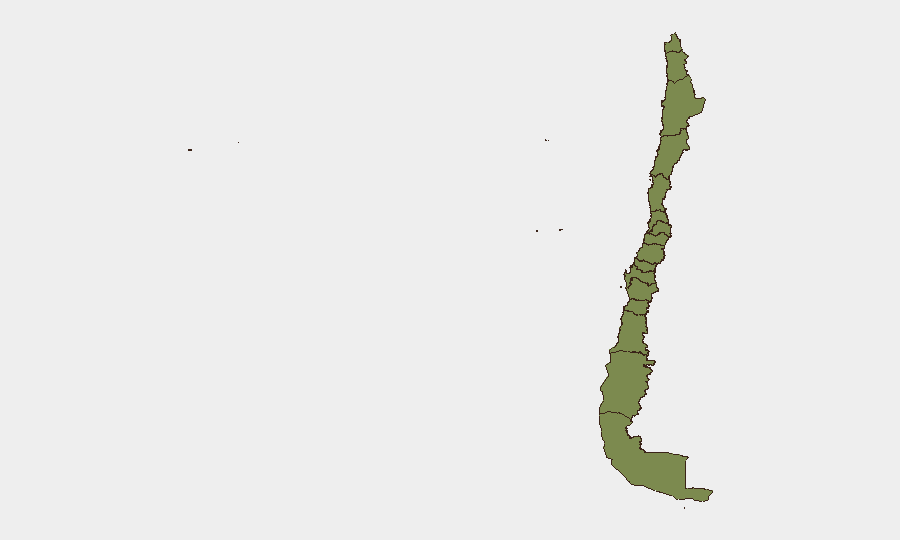
Coquimbo Region (31.3) is the principal driver of national risk—a 4.6× differential over Santiago (6.8)—and warrants prioritized monitoring. The concentration suggests either an ongoing localized conflict, resource or governance crisis, or environmental/infrastructure failure specific to that area. Santiago's secondary elevation (6.8) reflects capital-city systemic risk (protests, crime, institutional volatility) typical of major urban centers. All other tracked regions remain below 5.0, indicating risk is geographically concentrated rather than nationally distributed.
How GeoBit Would Assist
Intel Sweep & OSINT Fusion would ingest live Chilean news outlets, government X accounts (Carabineros, PDI, Ministerio del Interior), and international wires to flag and date-stamp incidents within the last 48 hours—eliminating fabrication risk and ensuring operational teams see only corroborated events. AOI Monitoring & Early Warning with persistent watch on Coquimbo Region, Santiago, and seismic zones would alert to escalation (roadblocks, armed incidents, infrastructure damage) before they affect duty-of-care or asset-protection decisions. GIS & Spatial Analysis combined with Satellite & Imagery would provide damage assessment and route-planning alternatives if protests or earthquakes disrupt transport corridors. Conflict & Military and Network & Actor Analysis would map any emerging non-state actors or institutional splits driving the signals observed on 10 June.
7-Day Outlook
Near-term trajectory depends on clarification of 10 June incidents—if governance/financial, resolution likely within institutional channels; if public-order or seismic-cascade related, expect continued volatility in Coquimbo and potential Santiago spillover. Earthquake aftershocks and secondary hazards in northern regions should be monitored through official SENAPRED alerts. International involvement flagged by US and Reuters statements suggests diplomatic or trade dimension that may amplify or sustain domestic friction over the coming week.
Highest-Risk Areas — Ranked
| # | State / Region | Risk |
|---|---|---|
| 1 | Coquimbo Region | 31.3 |
| 2 | Santiago Metropolitan Region | 6.8 |
| 3 | Maule Region | 4.1 |
| 4 | Valparaiso Region | 2.7 |
| 5 | Antofagasta Region | 1.3 |
| 6 | Atacama Region | 1.3 |
| 7 | Aysen del General Carlos Ibanez del Campo Region | 1.3 |
| 8 | Los Lagos Region | 1.3 |
| 9 | Magallanes and Chilean Antarctica Region | 1.3 |
| 10 | O'Higgins Region | 1.3 |
| 11 | Nuble Region | 1.3 |
| 12 | Biobio Region | 1.3 |
Sources
Previous Daily Briefs
A new Chile brief is written every day — each with its own risk map and downloadable CSV. Here's the last week; use the calendar to go further back.
📅 Browse every day by calendar →
Highlighted days have a brief. Tap a day for that day's map & analysis, or “csv” for that day's dataset ($5).