Situation Summary
DR Congo remains ranked #27 globally on composite threat (69.2/100), driven primarily by active civil war concentrated in the eastern provinces. The security environment is marked by fluid front lines, expanding drone warfare beyond traditional theaters, and uncontrolled armed-group activity that regularly disrupts movement and commerce. The U.S. State Department maintains a blanket "Do Not Travel" advisory across the country, and regional tensions involving Rwanda and Burundi continue to complicate de-escalation prospects.
Key Developments
- Goma & Bukavu urban conflict: M23 continues to occupy both major Kivu cities with active drone and missile operations, generating severe displacement and making civilian movement and logistics extremely hazardous.
- Masisi–Rubaya front-line stall: FARDC and Wazalendo militia offensive toward Rubaya failed to dislodge M23, confirming entrenched positions and sustained road-closure risk along the Goma northwest corridor.
- Ruzizi Plain & Kalehe fluid lines: M23's partial withdrawal from Ruzizi Plain coupled with renewed Wazalendo clashes in Kalehe highlands indicate unpredictable territorial shifts affecting Bukavu–Uvira and Kalehe travel corridors.
- Kisangani airbase drone strike: M23 drone attack on the FARDC airbase represents significant geographic expansion of armed-drone threat from the eastern border into central DRC, raising risk to aviation and nearby personnel.
- Rumangabo conservation-area strike: Armed drone activity near Virunga-area infrastructure and Rumangabo military base (40 km north of Goma) underscores persistent drone capability in high-value civilian and conservation zones.
- Mai‑Ndombe escalating violence: Rising armed activity and military deployment along Route Nationale 17, coupled with authority travel restrictions, increase checkpoint harassment and road-movement risk in this western province.
- Cross-border regional tensions: UN Security Council briefing confirms worsening security in eastern DRC and heightened DRC–Rwanda–Burundi tensions, elevating proxy-conflict and spillover risk.
Highest-Risk Areas
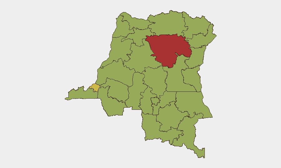
Tshopo (78.4) and Kinshasa (60.9) anchor the highest-risk tiers, with Ituri, Kasai, and both Kivu provinces (55.9–53.4) following. Tshopo's ranking reflects the recent Kisangani airbase strike and the expansion of drone and armed-group activity into central-DRC hubs previously considered secondary theaters. The Kivu provinces remain the primary civil-war theater, with active M23 occupation, ongoing FARDC operations, and fluid militia lines creating acute risk to movement and personnel. Kinshasa's elevated risk signals spillover urban crime, political instability, and checkpoint unpredictability affecting the capital and its logistical corridors.
How GeoBit Would Assist
Security teams managing personnel or assets in DR Congo should employ AOI Monitoring & Early Warning on high-value sites (airbases, conservation facilities, border crossings) to detect drone and armed-group activity in near real-time. Battle Mapping and Force Structure analysis provide current front-line positions and faction deployments to inform movement planning and facility-security posture. Routing & Network Analysis identifies alternative supply and evacuation routes as primary roads are disrupted by conflict or checkpoints, critical for duty-of-care compliance in an environment of rapidly shifting access. Complementary OSINT fusion (radio SIGINT, social-media sentiment, conflict event feeds) delivers tactical warning of localized flare-ups before they impact operations.
7-Day Outlook
No discrete event signals have emerged in the immediate reporting window, but the geographic expansion of drone warfare (Kisangani strike) and fluid front lines in South Kivu suggest continued tactical volatility. Road closures and checkpoint intensification are likely to persist, particularly along the Goma–Masisi and Bukavu–Kalehe axes. Security postures should remain elevated pending any developments in DRC–Rwanda negotiations or M23 repositioning.
Highest-Risk Areas — Ranked
| # | State / Region | Risk |
|---|---|---|
| 1 | Tshopo | 78.4 |
| 2 | Kinshasa | 60.9 |
| 3 | Ituri | 55.9 |
| 4 | Kasai | 53.4 |
| 5 | South Kivu | 53.4 |
| 6 | Maniema | 48.4 |
| 7 | Sud-Ubangi | 48.4 |
| 8 | Équateur | 48.4 |
| 9 | Nord-Ubangi | 48.4 |
| 10 | Mongala | 48.4 |
| 11 | Lower Uele | 48.4 |
| 12 | Tshuapa | 48.4 |