Situation Summary
Mauritius remains a low-threat environment, ranked #170 globally with a composite threat score of 2 and no tracked security incidents as of 16 June 2026. Open-source monitoring over the last 24–48 hours has detected no credible reports of violence, civil unrest, infrastructure disruption, or acute travel-safety incidents within the country. The security landscape is stable, though port and urban districts carry elevated residual risk typical of higher-density commercial and maritime zones.
Key Developments
No significant security, conflict, or civil-unrest incidents meeting verification criteria have been identified in Mauritius during the last 24–48 hours. Open-source and social-media cross-checks reveal no corroborated reports of riots, protests, terror attacks, major crime spikes, or infrastructure failures with clear timestamps in this window. Routine local news coverage and international media attention to Mauritius remain absent of acute security events.
*Note: Regional geopolitical tensions (including conventional military activity in the Persian Gulf, South Asia, and Europe, and statements by non-state actors) are being monitored for potential spillover effects, but no direct nexus to Mauritius security or operations has been established at this time.*
Highest-Risk Areas
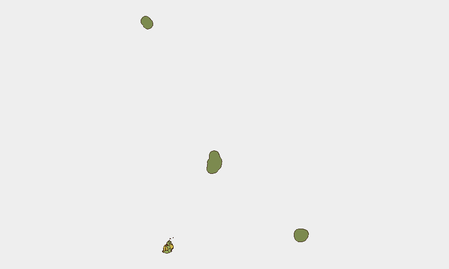
Port Louis (risk 92) dominates the threat profile, reflecting the concentration of commercial activity, maritime traffic, port operations, and transient populations in the capital. Plaines Wilhems (68), Black River (65), and Flacq (62) carry secondary elevated risk, likely driven by density, economic activity, or historical crime patterns. Outlying districts and outer islands—Rodrigues (22), Saint Brandon (8), and Agaléga (5)—present minimal acute risk. Urban and port-facing areas warrant standard duty-of-care precautions; rural and island zones present lower operational friction.
How GeoBit Would Assist
Intel Sweep & OSINT Fusion would provide continuous multi-language, multi-platform monitoring (social media, local news, government statements) to detect early signals of unrest, crime trends, or infrastructure disruption in Port Louis and other high-density zones before they escalate. AOI Monitoring & Early Warning would enable persistent watch on specific corporate facilities, supply-chain nodes, or employee-dense locations, with alert thresholds calibrated to local baseline activity. Routing & Network Analysis supports contingency planning—identifying safe transit corridors and alternative supply routes in the event of localized disruption in higher-risk districts.
7-Day Outlook
No material change to Mauritius's low-threat environment is anticipated in the near term. Continued routine monitoring of global event feeds and regional geopolitical developments (particularly Indian Ocean and Gulf-region tension) is warranted as a precaution, though direct security impact on Mauritius operations remains low-probability. Standard security protocols and duty-of-care measures are sufficient; escalation to heightened alert posture is not warranted at this time.
Highest-Risk Areas — Ranked
| # | State / Region | Risk |
|---|---|---|
| 1 | Port Louis | 92 |
| 2 | Plaines Wilhems | 68 |
| 3 | Black River | 65 |
| 4 | Flacq | 62 |
| 5 | Grand Port | 58 |
| 6 | Moka | 52 |
| 7 | Savanne | 48 |
| 8 | Pamplemousses | 45 |
| 9 | Rivière du Rempart District | 38 |
| 10 | Rodrigues | 22 |
| 11 | Saint Brandon | 8 |
| 12 | Agaléga | 5 |
Previous Daily Briefs
A new Mauritius brief is written every day — each with its own risk map and downloadable CSV. Here's the last week; use the calendar to go further back.
📅 Browse every day by calendar →
Highlighted days have a brief. Tap a day for that day's map & analysis, or “csv” for that day's dataset ($5).