Situation Summary
Papua New Guinea faces a composite threat environment characterized by localized instability, with Morobe Province presenting significantly elevated risk (31.3) compared to the national average (5.0). Recent activity signals include civil-political tensions, isolated physical assaults, and two minor seismic events (M 4.4–4.6) in the last 48 hours; however, no major security incidents have been verified in the immediate past day. The country's dispersed geography and weak institutional capacity mean that risk remains highly sub-national, with Port Moresby and resource-extraction zones bearing disproportionate exposure to crime, civil unrest, and infrastructure vulnerability.
Key Developments
- Morobe Province (2026-06-10): Two separate physical assault incidents reported; no casualty count or motive confirmed in available sources. Morobe remains the country's highest-risk zone by composite threat score.
- National Capital District / Port Moresby (2026-06-10): Multiple public statements exchanged between government actors and the Prime Minister; nature and content not fully detailed in web research, but consistent with recurring political friction.
- Seismic Activity: M 4.6 earthquake 54 km SE of Angoram (Sepik region) and M 4.4 tremor 139 km N of Lae (Morobe hinterland) recorded in the past 48 hours. No damage or casualties reported; risk of secondary infrastructure disruption in remote areas remains.
- Operation Render Safe (East New Britain, 8–20 June 2026): Scheduled UXO clearance operation by PNG Defence Force and partner nations; ongoing through this week and posing low direct threat to civilian movement but requiring awareness of military activity corridors.
*Note: Broad web search has not surfaced additional specific verified incidents in the last 24–48 hours beyond the above; older crime, prison, and election-related reports exist but are not current developments.*
Highest-Risk Areas
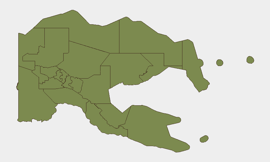
Morobe Province dominates the threat landscape (composite score 31.3), driven by a combination of gang activity, resource-sector tensions, and limited state presence in outlying districts. National Capital District (Port Moresby, score 13.3) follows, reflecting chronic urban crime, periodic civil unrest tied to political cycles, and infrastructure vulnerability. Manus, East New Britain, and Bougainville (all 7.3) warrant secondary attention due to maritime crime, residual weapons availability, and sporadic intercommunal friction. All other provinces (1.3) currently present substantially lower tracked risk but remain susceptible to rapid escalation given weak governance and geographic remoteness.
How GeoBit Would Assist
Security teams operating in Papua New Guinea should deploy AOI Monitoring & Early Warning on Morobe and Port Moresby to catch civil unrest, crime spikes, and political friction before they affect operations; combine this with X/Twitter & Telegram OSINT and multi-language search to triangulate local rumors and official statements in real time. Conflict & Military tracking and satellite imagery analysis can monitor Operation Render Safe and other state-force movements; alternative route/journey planning and network analysis support safe mobility during periods of unrest. Election monitoring capabilities remain relevant given Papua New Guinea's history of election-cycle violence.
7-Day Outlook
Political tensions appear elevated but contained; no escalation signals to major violence are evident in the current 48-hour window. Operation Render Safe and routine security-force deployments will continue; risk of accident, friendly-fire, or infrastructure disruption in East New Britain and Morobe hinterlands remains low but non-zero. Crime and localized assault will likely persist in Morobe and Port Moresby at baseline rates unless a specific triggering event (political decision, resource conflict, or gang confrontation) alters trajectory.
Highest-Risk Areas — Ranked
| # | State / Region | Risk |
|---|---|---|
| 1 | Morobe | 31.3 |
| 2 | National Capital District | 13.3 |
| 3 | Manus | 7.3 |
| 4 | East New Britain | 7.3 |
| 5 | Autonomous Region of Bougainville | 7.3 |
| 6 | Eastern Highlands | 1.3 |
| 7 | Gulf | 1.3 |
| 8 | Madang | 1.3 |
| 9 | West New Britain | 1.3 |
| 10 | New Ireland | 1.3 |
| 11 | Central | 1.3 |
| 12 | Oro | 1.3 |
Sources
Previous Daily Briefs
A new Papua New Guinea brief is written every day — each with its own risk map and downloadable CSV. Here's the last week; use the calendar to go further back.
📅 Browse every day by calendar →
Highlighted days have a brief. Tap a day for that day's map & analysis, or “csv” for that day's dataset ($5).