Situation Summary
Paraguay remains a low-threat environment globally (rank #98, composite score 2.0) with no discrete security incidents reported in the current analysis window. The security landscape is regionally concentrated, with Presidente Hayes Department driving substantially elevated risk (31.4) relative to the national baseline, while remaining departments cluster at low to moderate threat levels. No active civil unrest, political instability events, or infrastructure disruptions have been confirmed in the last 24–48 hours. The overall trajectory is stable, though persistent organized-crime activity in border and frontier zones warrants continued monitoring.
Key Developments
No confirmed discrete security or civil-unrest events in Paraguay have been identified in the last 24–48 hours. Recent web-based intelligence corroboration found no verified incidents meeting incident-reporting thresholds for travel risk, crime escalation, political instability, or infrastructure disruption. The most recent traceable activity in open sources relates to bilateral health-security cooperation (non-incident). GeoBit's event-tracking window shows no new signals requiring immediate operational alert.
Highest-Risk Areas
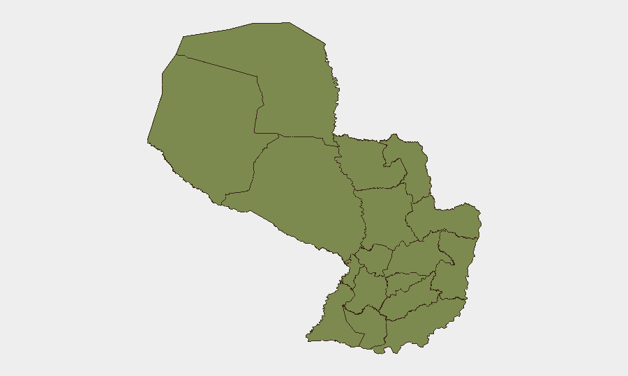
Presidente Hayes Department (eastern Chaco region, risk score 31.4) accounts for the overwhelming majority of Paraguay's measured threat profile. This concentration reflects persistent organized-crime activity, trafficking networks, and weak state presence in remote frontier zones bordering Bolivia and Argentina. Caazapá Department (risk 16.4), located in the southeast near the triple border with Argentina and Brazil, represents the secondary risk node, driven by similar cross-border criminal networks and informal economic activity. All other departments register low risk (1.4–6.4), with Central Department (Asunción metro area, 6.4) and Itapúa (southeastern border, 6.4) at the secondary tier. The concentration of risk in frontier and sparsely populated regions suggests that corporate and diplomatic presence in major urban centers faces substantially lower threat exposure.
How GeoBit Would Assist
Intel Sweep & OSINT Fusion across multi-language feeds, X/Twitter, and Telegram would establish real-time baseline monitoring of criminal-network activity, trafficking indicators, and cross-border movement in Presidente Hayes and Caazapá. AOI Monitoring & Early Warning configured on frontier zones and key transport corridors would trigger alerts on emerging violence, roadblocks, or law-enforcement operations before they affect planned travel or site operations. Routing & Network Analysis would enable security teams to model alternative supply-chain and personnel-movement routes that avoid highest-risk departments while maintaining operational efficiency. Risk & Threat Assessment would support duty-of-care verification for personnel assignments and asset deployment in border-adjacent locations.
7-Day Outlook
No imminent security escalation is anticipated over the next seven days. Frontier criminal activity is expected to remain endemic rather than acute; organized-crime operations in Presidente Hayes typically operate below headline thresholds and do not directly target corporate or diplomatic personnel. Continued monitoring of cross-border trafficking corridors and local law-enforcement responses is recommended as standard practice for organizations with operations near frontier zones.
Highest-Risk Areas — Ranked
| # | State / Region | Risk |
|---|---|---|
| 1 | Presidente Hayes Department | 31.4 |
| 2 | Caazapá Department | 16.4 |
| 3 | Itapúa Department | 6.4 |
| 4 | Central Department | 6.4 |
| 5 | Concepción Department | 1.4 |
| 6 | San Pedro Department | 1.4 |
| 7 | Guairá Department | 1.4 |
| 8 | Amambay Department | 1.4 |
| 9 | Canindeyú Department | 1.4 |
| 10 | Caaguazú Department | 1.4 |
| 11 | Alto Paraná Department | 1.4 |
| 12 | Boquerón | 1.4 |
Sources
Previous Daily Briefs
A new Paraguay brief is written every day — each with its own risk map and downloadable CSV. Here's the last week; use the calendar to go further back.
📅 Browse every day by calendar →
Highlighted days have a brief. Tap a day for that day's map & analysis, or “csv” for that day's dataset ($5).