Situation Summary
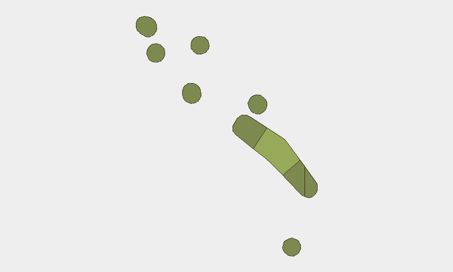
Tuvalu remains a low-threat environment with a composite global risk ranking of 173 and no newly reported security incidents in the last 24–48 hours. Open-source monitoring across news outlets, regional Pacific sources, social media, and security feeds has identified no acute threats to personnel, assets, or operations. The threat landscape is stable, with risk concentrated in the capital atoll of Funafuti; no escalation is evident.
Key Developments
No discrete security, civil unrest, crime, infrastructure, or travel-risk incidents were reported in Tuvalu during 1–3 July 2026 based on available open-source intelligence.
Highest-Risk Areas
Funafuti (risk score 45) accounts for the majority of tracked risk and remains the primary focus for duty-of-care planning. As the capital and economic hub, Funafuti concentrates population, government infrastructure, and commercial activity, elevating both absolute exposure and incident probability relative to outer atolls. Vaitupu (28), Nui (25), and Nukufetau (22) carry moderate risk profiles but remain substantially lower-risk than Funafuti. The remaining outer atolls (Niutao, Nanumanga, Nanumea, Nukulaelae) each score below 20, reflecting limited infrastructure, smaller populations, and lower operational footprints.
How GeoBit Would Assist
Security teams with personnel or assets in Tuvalu should employ Intel Sweep and multi-language open-source search to maintain continuous situational awareness of political, maritime, and climate developments affecting the territory. AOI Monitoring & Early Warning on Funafuti and secondary atolls would provide persistent watch and alerting against emerging incidents, infrastructure disruptions, or civil unrest. Sentiment & temporal analysis of social media and regional sources can surface early indicators of community tension or policy shifts before they crystallize into operational risks.
7-Day Outlook
No acute drivers of escalation are evident. Tuvalu's security posture is expected to remain stable over the coming week. Organizations should maintain routine monitoring for climate events (cyclone season preparedness), maritime incidents, and regional Pacific policy developments that could indirectly affect fuel supply, transport, or communications infrastructure.
Highest-Risk Areas — Ranked
| # | State / Region | Risk |
|---|---|---|
| 1 | Funafuti | 45 |
| 2 | Vaitupu | 28 |
| 3 | Nui | 25 |
| 4 | Nukufetau | 22 |
| 5 | Niutao | 20 |
| 6 | Nanumanga | 18 |
| 7 | Nanumea | 15 |
| 8 | Nukulaelae | 12 |
Previous Daily Briefs
A new Tuvalu brief is written every day — each with its own risk map and downloadable CSV. Here's the last week; use the calendar to go further back.
📅 Browse every day by calendar →
Highlighted days have a brief. Tap a day for that day's map & analysis, or “csv” for that day's dataset ($5).