Situation Summary
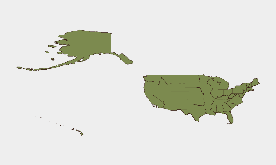
The United States maintains a composite threat score of 7.6 (rank #48 globally) with 7,646 tracked events, reflecting persistent but diffuse security pressures across major urban centers and select regions. Over the past 24–48 hours, incident frequency has concentrated in high-density metropolitan areas—Philadelphia, Chicago, Atlanta, Houston, New York City, Oakland, Miami, and Denver—spanning armed violence, civil disturbance, infrastructure disruption, and public safety incidents. California and Texas remain the dominant risk drivers, though events are geographically distributed, indicating no single point of acute national crisis but rather sustained operational strain on local law enforcement and emergency services.
Key Developments
- Philadelphia, Pennsylvania (June 3): Drive-by shooting outside corner store at N. 21st Street and W. Indiana Avenue in North Philadelphia; at least four victims hospitalized; police indicate targeted attack.
- Chicago, Illinois (June 2–3): At least two killed and more than a dozen injured across overnight shootings on South and West Sides, including fatal triple shooting near 79th Street and Cottage Grove Avenue.
- Atlanta, Georgia (June 3): Officer-involved shooting near Peachtree Center MARTA station following armed-subject call; suspect transported in critical condition; Georgia Bureau of Investigation initiated use-of-force inquiry.
- Houston, Texas (June 3): Major power outage in southwest Houston affecting tens of thousands after severe thunderstorms; downed power lines across Bissonnet Street, Bellaire Boulevard, and Westpark Tollway corridor; restoration ongoing.
- Portland, Oregon (June 3, evening): Civil disturbance declared in downtown Portland near SW 3rd Avenue and Main Street during police-accountability protest; window breakage, trash fires reported; at least two arrests.
- New York City, New York (June 3): Subway service disruptions on multiple Midtown lines following platform incident at Times Sq–42 St station; track closures and crowding reported.
- Oakland, California (June 2, night): Sideshow involving 100+ vehicles near International Boulevard and 54th Avenue; shots fired, at least one injured, multiple businesses damaged.
- Miami, Florida (June 3): Large brawl involving dozens of youths at Bayside Marketplace; five arrests, minor injuries, temporary shop lockdowns.
Highest-Risk Areas
California (35.3) and Texas (26.2) significantly outpace other states in composite risk, driven by high-frequency violent crime, organized disturbance events, and infrastructure vulnerability. Kansas (20.9), New York (17.8), and Florida (13.8) follow, indicating that coastal urban corridors and interior transportation hubs face sustained pressure from gang activity, protest-related incidents, and public-order challenges. The concentration of events in California's major metros (Los Angeles, Oakland, San Francisco Bay Area) and Texas's urban centers (Houston, Dallas) reflects population density, gang network activity, and socioeconomic stress; secondary risk in New York, Florida, and the Northeast corridor suggests national patterns rather than isolated regional instability.
How GeoBit Would Assist
Intel Sweep and OSINT fusion across X, Telegram, and local scanner feeds enable real-time corroboration of shooting, disturbance, and infrastructure incidents, shortening detection lag. AOI Monitoring and Early Warning targeting high-risk neighborhoods in California, Texas, New York, and Illinois allows security teams to set persistent alerts on protest assembly, gang activity, and carjacking patterns. GIS and Spatial Analysis combined with Routing & Network Analysis help corporate security teams assess commute safety, identify alternate routes around active incidents (e.g., Houston outage, NYC subway disruption), and plan real-time asset movement.
7-Day Outlook
Violent crime and civil disturbance activity in major metros is expected to remain elevated through the week, with summer weather, school closure periods, and ongoing gang and protest dynamics sustaining incident volume. Infrastructure disruptions (power, transit) may spike following severe weather; monitoring of thunderstorm and heat-wave forecasts in Texas and the Southwest is warranted. No indicators suggest a sharp escalation to national-level crisis, but localized operational tempo will likely remain high in California, Texas, and the Northeast.
Highest-Risk Areas — Ranked
| # | State / Region | Risk |
|---|---|---|
| 1 | California | 35.3 |
| 2 | Texas | 26.2 |
| 3 | Kansas | 20.9 |
| 4 | New York | 17.8 |
| 5 | Florida | 13.8 |
| 6 | Ohio | 13.3 |
| 7 | New Jersey | 12.3 |
| 8 | Illinois | 12.1 |
| 9 | Virginia | 11.8 |
| 10 | Pennsylvania | 11.2 |
| 11 | Iowa | 9.9 |
| 12 | Massachusetts | 9.8 |
Previous Daily Briefs
A new United States brief is written every day — each with its own risk map and downloadable CSV. Here's the last week; use the calendar to go further back.
📅 Browse every day by calendar →
Highlighted days have a brief. Tap a day for that day's map & analysis, or “csv” for that day's dataset ($5).