Situation Summary
Bosnia and Herzegovina presents a composite threat score of 5, placing it outside the top-tier global risk tier. No significant security incidents, civil unrest, political instability, or infrastructure disruptions have been reported in open-source channels over the last 24–48 hours. Routine political and academic activity continues without noted disruption. The security environment remains stable within the monitored timeframe, though sub-national risk variance merits attention.
Key Developments
- No major incidents reported across Bosnia and Herzegovina in the 24–48 hour window (21–23 June 2026). Open-source news wires, social platforms, and municipal alert channels reflect ordinary political and civic activity without escalation.
- Western Balkans regional engagement ongoing: A Sherpa-level meeting on Berlin Process deliverables is proceeding in Vienna (22–23 June), focused on inter-regional cooperation frameworks; no acute security drivers reported from this dialogue.
- Academic continuity: The CEEISA conference at Sarajevo's International Burch University (commenced 17 June) has continued without disruption, though this event falls outside the immediate 24–48h window.
No terrorism alerts, organized-crime operations, ethnic tensions, infrastructure attacks, or travel advisories meeting threshold criteria have surfaced in corroborated reporting.
Highest-Risk Areas
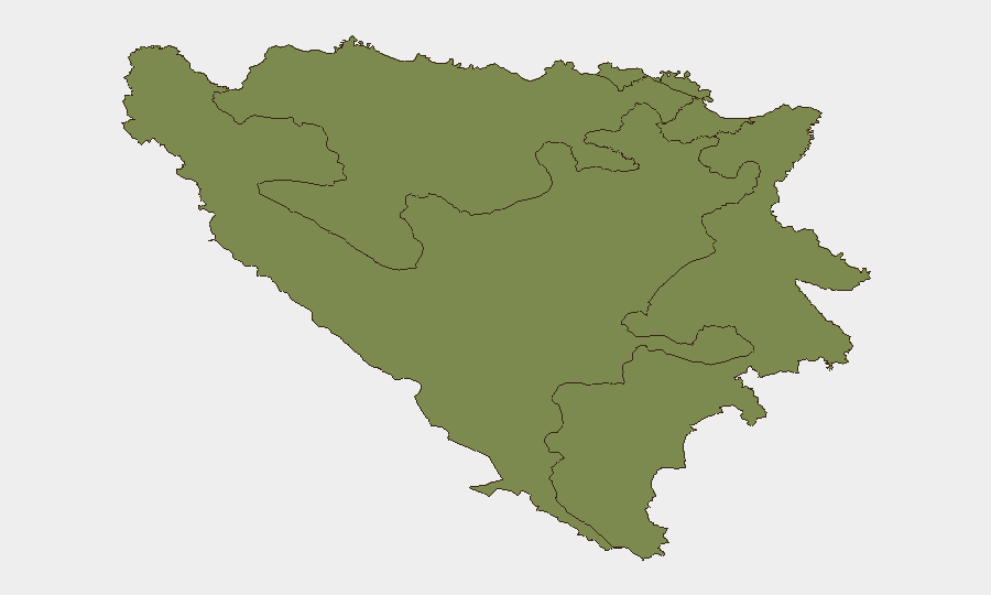
The Federation of Bosnia and Herzegovina (FBiH) carries substantially elevated sub-national risk (31.2) compared to Republika Srpska and Brčko District (both 1.2). This disparity likely reflects FBiH's larger population density, institutional complexity, and historical flashpoint geography in central and southern zones. Organizations and personnel operating in FBiH jurisdictions—particularly in urban centers and mixed-ethnicity municipalities—should maintain higher vigilance posture. Republika Srpska and Brčko, by contrast, show minimal tracked risk signals.
How GeoBit Would Assist
Intel Sweep and multi-language OSINT fusion can establish continuous baseline monitoring of Bosnian-language media, municipal bulletins, and law-enforcement channels to detect early signs of ethnic tension, organized crime, or political destabilization before escalation. Entity extraction and sentiment analysis applied to local social platforms and news will flag inflammatory rhetoric or emerging protest organization. AOI monitoring and early-warning capability with persistent geographic focus on FBiH municipalities permits near-real-time alerting if incidents breach defined thresholds, enabling duty-of-care teams to adjust personnel or asset positioning ahead of broader disruption.
7-Day Outlook
No acute risk drivers are visible on the near-term horizon. Continued engagement within regional cooperation frameworks (Berlin Process) suggests diplomatic stability. Security posture should remain baseline for Republika Srpska and Brčko; FBiH operations warrant standard enhanced monitoring given its elevated composite score, but no imminent destabilization is signaled in current reporting.
Data Confidence Note: This brief reflects corroborated open-source reporting only. Absence of reported incidents does not confirm absence of risk. Organizations dependent on real-time alerting should maintain direct feeds from local law enforcement, transport authorities, and field intelligence networks to supplement this assessment.
Highest-Risk Areas — Ranked
| # | State / Region | Risk |
|---|---|---|
| 1 | Federation of Bosnia and Herzegovina | 31.2 |
| 2 | Republika Srpska | 1.2 |
| 3 | Brčko District | 1.2 |
Previous Daily Briefs
A new Bosnia and Herzegovina brief is written every day — each with its own risk map and downloadable CSV. Here's the last week; use the calendar to go further back.
📅 Browse every day by calendar →
Highlighted days have a brief. Tap a day for that day's map & analysis, or “csv” for that day's dataset ($5).