Situation Summary
Canada's composite threat score remains moderate at 2.2 globally (rank #66), with 432 tracked events. The past 24–48 hours show elevated signal activity concentrated in Ontario, including cross-border tensions with the United States, internal investigative action against hospital and intelligence targets, and inter-Canadian threat communications. Near-term trajectory reflects fragmentation across multiple threat vectors rather than a single coordinated crisis.
Key Developments
- Ontario (2026-06-05): Toronto-based threat reported against intelligence targets; separate Canadian-on-Canadian threat communications detected same date. Investigative activity ongoing.
- US-Canada Relations (2026-06-04 to 06-05): Multiple American signals including disapproval statements vs NATO, public statements, and investigative activity. One rejection of a settlement framework noted 2026-06-04.
- Healthcare & Governance (2026-06-05): Canadian investigative action initiated against hospital sector; separate regulatory body public statement issued same date.
- Diplomatic Friction (2026-06-04): American disapproval signaled regarding Tehran-related matter affecting North American posture.
*Note:* Open-source corroboration for granular incident detail (location, time, nature) in the last 24–48 hours is limited. Specific casualty figures, infrastructure impacts, or named individuals involved are not independently confirmed in available web search. Real-time event feeds (RCMP, municipal police, emergency management, and local news outlets) will provide confirmed incident logs.
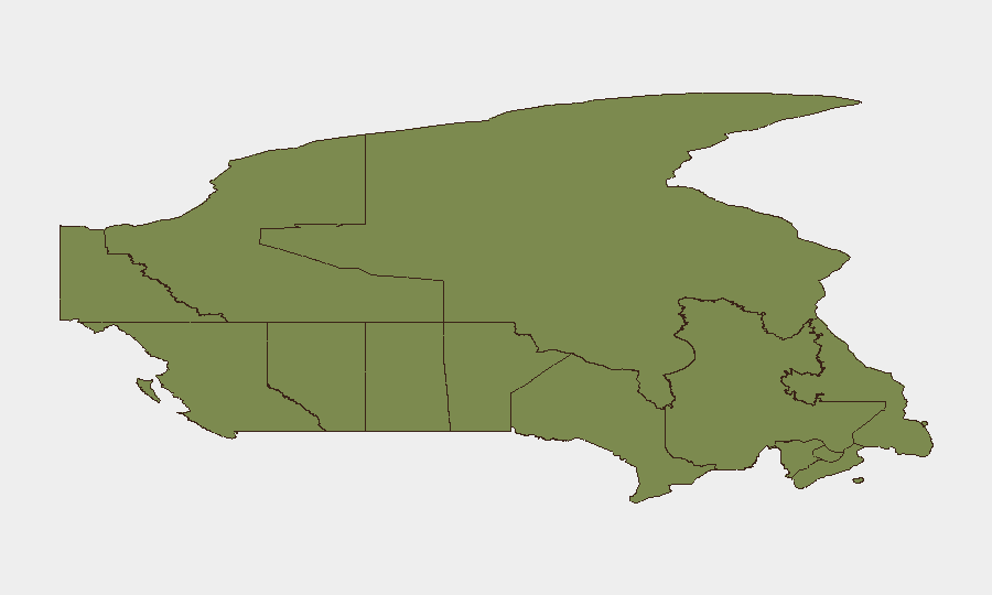
Highest-Risk Areas
Ontario dominates the Canadian risk profile at 31.5, driven by Toronto-based intelligence threats, hospital-sector investigations, and concentrated cross-border communications with the United States. Nunavut (16.5) and British Columbia (12.9) follow but appear to reflect lower-frequency, higher-impact structural risks (remote location vulnerability, maritime/border exposure) rather than current operational events. Quebec (11.8) and Alberta (9.3) show measurable risk, likely tied to regulatory pressure and cross-border commercial/energy infrastructure. All other provinces fall below 6.0, indicating Ontario is the primary operational theater for current corporate duty-of-care focus.
How GeoBit Would Assist
Security teams with personnel or assets in Canada should leverage AOI Monitoring & Early Warning to track Ontario and BC in real time, with persistent alerts on intelligence, healthcare, and cross-border messaging. Network & Actor Analysis combined with OSINT fusion & corroboration (X/Twitter, Telegram, local police feeds, emergency management accounts) will resolve the time-stamping and multi-source confirmation gap now limiting incident specificity. Risk & Threat Assessment and sentiment & temporal analysis will distinguish signal noise from actionable threat escalation.
7-Day Outlook
Expect continued investigative activity in Ontario's institutional sector (hospitals, intelligence) and sustained US-Canada diplomatic friction, particularly around NATO and Middle East positioning. No indicators currently point to imminent violence, infrastructure shutdown, or mass-casualty events, but cross-border communication intensity and regulatory pressure suggest elevated friction through mid-June. Teams should maintain watch on hospital-sector developments and US policy statements affecting Canadian operations.
Data cutoff: 2026-06-05 06:00 UTC. Next update: 2026-06-06.
Highest-Risk Areas — Ranked
| # | State / Region | Risk |
|---|---|---|
| 1 | Ontario | 31.5 |
| 2 | Nunavut | 16.5 |
| 3 | British Columbia | 12.9 |
| 4 | Quebec | 11.8 |
| 5 | Alberta | 9.3 |
| 6 | Manitoba | 5.9 |
| 7 | Saskatchewan | 4.4 |
| 8 | Northwest Territories | 1.8 |
| 9 | Nova Scotia | 1.8 |
| 10 | Newfoundland and Labrador | 1.7 |
| 11 | Yukon | 1.6 |
| 12 | New Brunswick | 1.5 |
Sources
Previous Daily Briefs
A new Canada brief is written every day — each with its own risk map and downloadable CSV. Here's the last week; use the calendar to go further back.
📅 Browse every day by calendar →
Highlighted days have a brief. Tap a day for that day's map & analysis, or “csv” for that day's dataset ($5).