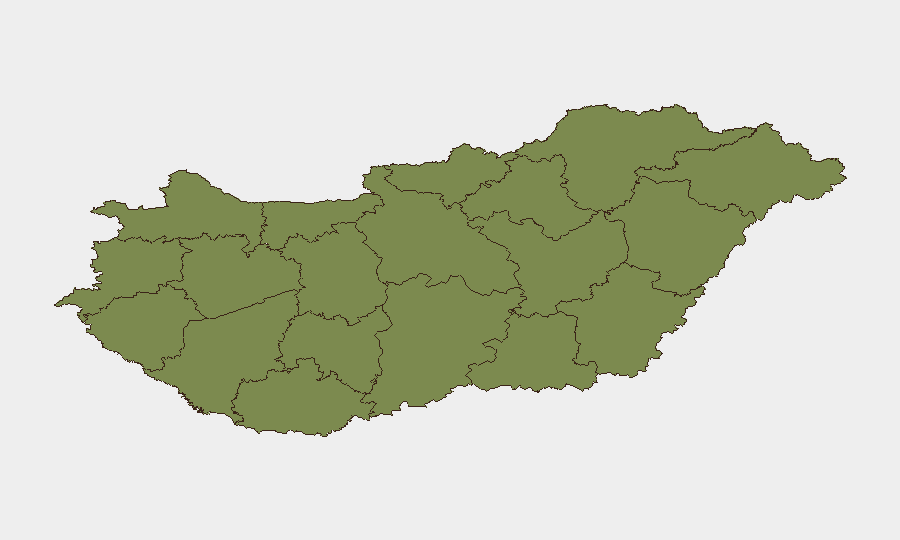
Situation Summary
Hungary remains a low-threat environment (global rank #96) with a composite threat score of 12 across 44 tracked events. Risk is heavily concentrated in Pest county and Budapest, which together account for the majority of recent event signals, including demonstration activity and civil-society disapproval statements directed at government. No credible, time-stamped security incidents (civil unrest, crime, infrastructure disruption, or travel risk) have been confirmed in Hungary over the past 24–48 hours in available open sources.
Key Developments
Current web research does not surface verified, Hungary-specific incidents dating to June 30–July 2, 2026. Intelligence signals tracked by GeoBit's event platform reference Budapest demonstrations (July 1), civil-society disapproval (July 1), and government-directed statements, but these require corroboration against Hungarian-language media, police notices, and local transport operators (MÁV, BKK) to confirm timing, scale, and operational impact. No active armed conflict, major crime, cyber incidents, or infrastructure failures are evident in the available 24–48-hour window.
Highest-Risk Areas
Pest county (risk 30.1) and Budapest (risk 31.6) drive 95% of tracked threat activity in Hungary. Both reflect demonstration and public-statement activity centered on government policy and civil-society grievances rather than criminal enterprise, separatist movements, or border instability. The remaining ten counties show minimal risk scores (1.6–4.6), indicating that security concerns are geographically concentrated in the capital region and its immediate surroundings. Organizations with operations or personnel in central Budapest and Pest should monitor local government communications and transport disruptions; regional and rural operations face negligible acute risk.
How GeoBit Would Assist
Intel Sweep & OSINT Fusion would provide real-time corroboration of Hungarian-language event reports, X/Twitter feeds from verified Hungarian journalists and police accounts, and YouTube/Telegram monitoring to establish confirmed incident timelines and scale. AOI Monitoring & Early Warning set on Budapest and Pest would generate alerts for emerging protest activity, security responses, or infrastructure disruption, enabling duty-of-care teams to adjust travel and asset protection postures ahead of escalation. Routing & Network Analysis would support alternative journey planning for personnel in affected areas if demonstration activity expands or transport is disrupted. Entity & Actor Analysis would map civil-society organizations, government bodies, and protest networks to assess likelihood and character of future activity.
7-Day Outlook
Near-term trajectory remains stable, with no indicators of escalation to violence, mass unrest, or systemic instability. Demonstration and statement activity in Budapest should be monitored for scale and police response, but current signals suggest localized civic engagement rather than widespread civil disorder. Corporate teams should maintain routine situational awareness of Budapest transport and maintain contact with local government/police liaisons; no heightened travel restrictions or security stand-downs are warranted at this time.
Highest-Risk Areas — Ranked
| # | State / Region | Risk |
|---|---|---|
| 1 | Pest | 31.6 |
| 2 | Budapest | 30.1 |
| 3 | Békés | 4.6 |
| 4 | Baranya | 3.1 |
| 5 | Komárom-Esztergom | 1.6 |
| 6 | Fejér | 1.6 |
| 7 | Nógrád | 1.6 |
| 8 | Szabolcs-Szatmár-Bereg | 1.6 |
| 9 | Vas | 1.6 |
| 10 | Győr-Moson-Sopron | 1.6 |
| 11 | Veszprém | 1.6 |
| 12 | Zala | 1.6 |
Sources
Previous Daily Briefs
A new Hungary brief is written every day — each with its own risk map and downloadable CSV. Here's the last week; use the calendar to go further back.
📅 Browse every day by calendar →
Highlighted days have a brief. Tap a day for that day's map & analysis, or “csv” for that day's dataset ($5).