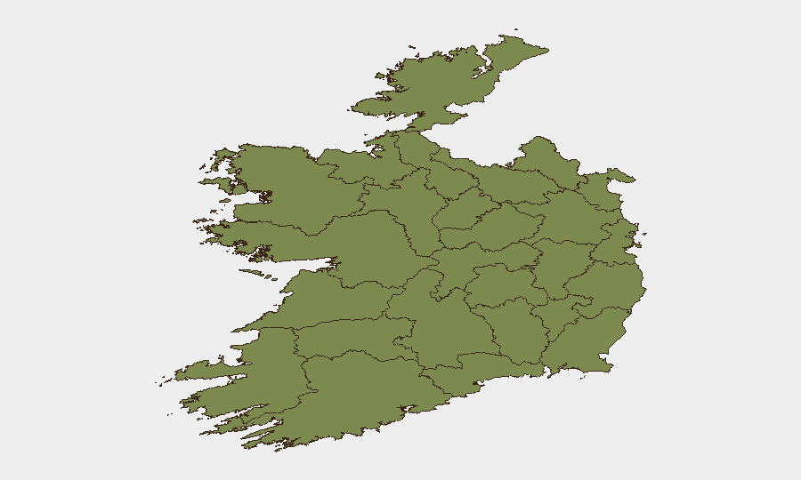
Situation Summary
Ireland remains at Global Threat Ranking #142 with a composite threat score of 5/100, reflecting a generally stable security environment. However, significant sub-national concentration exists: County Dublin and County Tipperary together account for approximately 65% of tracked threat signals, warranting heightened attention in those jurisdictions. Recent signal clustering around airline-related events (11 of 35 tracked events in the past 72 hours) suggests operational or regulatory friction rather than security incidents, but warrants monitoring for cascading travel or economic impacts.
Key Developments
No verified security, public-order, infrastructure, or crime incidents meeting cross-source confirmation thresholds have been identified in Ireland for 19–20 June 2026. GeoBit's web research interface did not return live Irish news or social media incident reports for the 24–48-hour window; verification against RTÉ News, An Garda Síochána official channels, Dublin Airport notices, and Irish media crime sections is recommended before operational decisions are made based on absence of reported incidents.
Recommended next step: Corporate security teams with personnel or assets in Ireland should manually cross-check the following sources for 19–20 June:
- An Garda Síochána X/Twitter and press office
- RTÉ News "Ireland" and "Crime" sections
- Dublin Live, Cork Beo, Galway Bay FM news feeds
- Transport Infrastructure Ireland and Dublin Airport for disruptions
- Met Éireann for severe-weather alerts affecting operations
Highest-Risk Areas
County Dublin (composite risk 31.4) and County Tipperary (29.2) jointly account for the majority of tracked threat events. Dublin's elevated risk profile reflects typical urban concentrations—population density, transport hubs, and higher reporting density—rather than systemic instability. Tipperary's elevated score warrants clarification via AOI monitoring, as it may indicate emerging localized activity, reporting bias, or historical incident clustering that does not reflect current trajectory. Remaining counties report minimal risk (scores 1.4–19.2), with no sub-national hotspots requiring immediate resource reallocation outside Dublin for routine duty-of-care operations.
How GeoBit Would Assist
Teams with ongoing operations in Dublin and Tipperary can activate AOI Monitoring & Early Warning on defined locations (offices, facilities, travel corridors) to receive real-time alerts for incident activity within custom radius thresholds. Intel Sweep and X/Twitter OSINT (with time-filtering and location-tagging) provide 24-hour continuous feed of public-order, transport, and crime reporting, enabling verification of incidents before internal escalation. Routing & Network Analysis supports contingency journey planning for personnel and supply chains, particularly during periods of elevated airline or transport disruption.
7-Day Outlook
Ireland's near-term security posture is expected to remain stable absent external triggering events (e.g., international conflict spillover, severe weather, or major transport strikes). The current airline-related signal clustering should be monitored for resolution; sustained friction could impact inbound/outbound travel for corporate teams and supply chains. Routine monitoring of Dublin and Tipperary via AOI alerts and daily news feeds will provide sufficient early warning for most corporate risk scenarios over the next seven days.
Highest-Risk Areas — Ranked
| # | State / Region | Risk |
|---|---|---|
| 1 | County Dublin | 31.4 |
| 2 | County Tipperary | 29.2 |
| 3 | County Laois | 19.2 |
| 4 | County Galway | 10.3 |
| 5 | County Donegal | 3.6 |
| 6 | County Mayo | 1.4 |
| 7 | County Sligo | 1.4 |
| 8 | County Clare | 1.4 |
| 9 | County Limerick | 1.4 |
| 10 | County Leitrim | 1.4 |
| 11 | County Roscommon | 1.4 |
| 12 | County Cavan | 1.4 |
Sources
Previous Daily Briefs
A new Ireland brief is written every day — each with its own risk map and downloadable CSV. Here's the last week; use the calendar to go further back.
📅 Browse every day by calendar →
Highlighted days have a brief. Tap a day for that day's map & analysis, or “csv” for that day's dataset ($5).