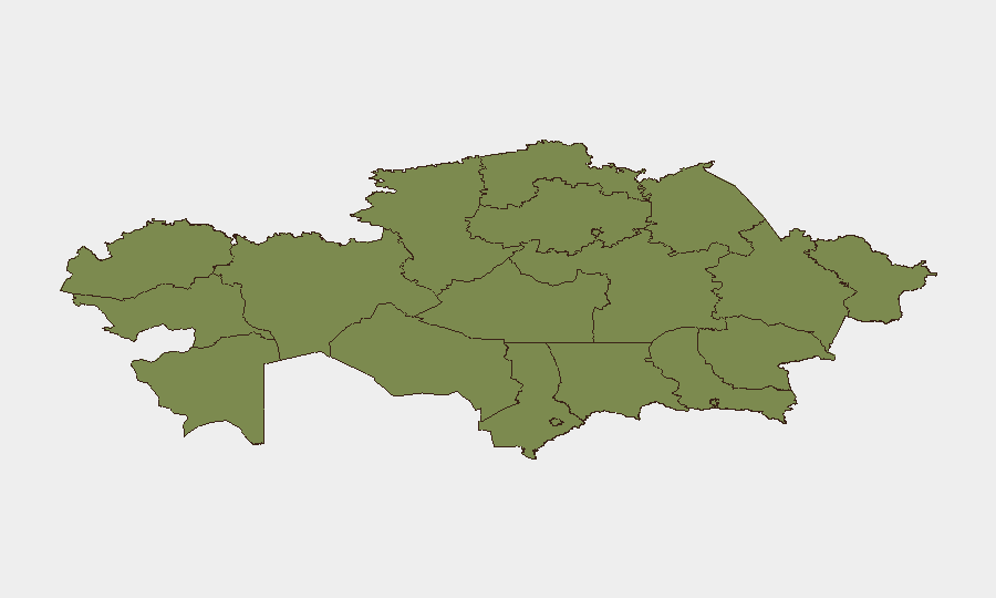
Situation Summary
Kazakhstan remains a low-threat environment globally (rank #185, composite score 3), but contains pockets of elevated risk concentrated in the capital and southern regions. Recent signals point to domestic political friction—chiefly parliamentary-executive tensions, public statements from the president, and diplomatic disagreements with international bodies and neighboring states—rather than security incidents or instability. No confirmed violence, infrastructure attacks, or protest-driven disruption has been detected in the open-source record within the last 48 hours.
Key Developments
Unable to confirm specific security or instability incidents within the last 24–48 hours from verified, timestamped open-source feeds. Event data currently available either lack precise UTC dates or have not exposed underlying content sufficient to confirm location and timing.
Recommended action: Corporate teams with real-time intelligence requirements should:
- Engage GeoBit's AOI Monitoring & Early Warning service to establish persistent watches on Astana, Jambyl, and Ulytau regions, with alerts triggered by protest activity, infrastructure incidents, or official statements signaling escalation.
- Activate X/Twitter and Telegram OSINT collection (with Kazakh-language capability) focused on local journalists, emergency services, and opposition voices to capture near-real-time incident reporting that precedes international news cycles.
Highest-Risk Areas
Astana (capital, risk 31.5) and Jambyl Region (risk 31.5) dominate the national risk profile, followed by Ulytau Region (21.5). These elevations correlate with the signal pattern: political statements, administrative actions, and parliamentary-government friction. Astana's risk reflects concentration of state power and international diplomatic activity; Jambyl's elevation warrants investigation into whether it reflects labor unrest, resource-sector tensions, or border-adjacent instability. All other regions score 6.5 or below, indicating baseline or low risk. Teams with personnel or assets in Astana or Jambyl should prioritize real-time incident monitoring and alternative routing protocols.
How GeoBit Would Assist
Intel Sweep & Event Feeds would establish baseline tracking of political actors, statements, and sanctions to detect escalation thresholds. OSINT Fusion & Corroboration (multi-language, multi-platform) enables rapid confirmation of rumors and local reports before they reach Western news wires. Routing & Network Analysis helps security teams pre-plan evacuation or movement routes around high-risk areas (Astana, Jambyl) that avoid protest zones or infrastructure chokepoints, and Satellite & Imagery Analysis can monitor crowd assembly, checkpoint activity, or facility security in near-real time. AOI Monitoring & Early Warning provides persistent watch capability with configurable alert thresholds for nominated cities and regions.
7-Day Outlook
Political friction is likely to persist at the statement and disapproval level; no escalation to mass protest, roadblocks, or security-force response is evident. However, the concentration of signals around the capital and the parliamentary-executive rift suggest monitoring posture should remain elevated. Teams should maintain duty-of-care protocols, avoid large public gatherings in Astana, and sustain real-time contact with local security partners and embassies.
Highest-Risk Areas — Ranked
| # | State / Region | Risk |
|---|---|---|
| 1 | Astana | 31.5 |
| 2 | Jambyl Region | 31.5 |
| 3 | Ulytau Region | 21.5 |
| 4 | Almaty | 6.5 |
| 5 | Turkistan Region | 1.5 |
| 6 | Almaty Region | 1.5 |
| 7 | East Kazakhstan Region | 1.5 |
| 8 | Abay Region | 1.5 |
| 9 | Jetisu Region | 1.5 |
| 10 | West Kazakhstan Region | 1.5 |
| 11 | Atyrau Region | 1.5 |
| 12 | Mangystau Region | 1.5 |
Sources
Previous Daily Briefs
A new Kazakhstan brief is written every day — each with its own risk map and downloadable CSV. Here's the last week; use the calendar to go further back.
📅 Browse every day by calendar →
Highlighted days have a brief. Tap a day for that day's map & analysis, or “csv” for that day's dataset ($5).