Situation Summary
Panama's composite threat score of 15 places it in the lower-middle range of global risk, with 25 tracked events recorded. Live web research over the past 24–48 hours has not identified any verified security incidents, infrastructure disruptions, or crime/unrest events affecting the country; the only confirmed activity is routine diplomatic presence (U.S. Deputy Secretary of State at the OAS General Assembly, June 22–23). Risk remains concentrated in specific provinces, notably Colón, where trafficking and gang activity continue to drive elevated threat exposure.
Key Developments
- Panama City, June 22–23 — U.S. Deputy Secretary of State Christopher Landau attended OAS General Assembly proceedings; no security incidents reported. Diplomatic statements from Washington on June 22 were routine foreign-policy messaging.
- National level, June 23 — Presidential public statement and unspecified arrest/detain action recorded; full operational context not yet available from open sources.
- National level, June 22 — Panamanian authorities conducted investigation involving a citizen; details pending confirmation.
- No verified disruptions — Live research confirmed no new crime spikes, transport closures, infrastructure failures, or civil unrest in the last 48 hours affecting corporate operations or travel corridors.
Highest-Risk Areas
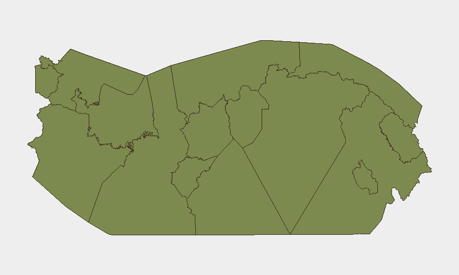
Colón dominates the risk landscape with a composite score of 31.2—more than 19 times higher than Panama Province and nearly double Veraguas. This reflects Colón's role as a major transshipment and trafficking hub, where organized criminal networks (particularly those involved in cocaine and precursor-chemical smuggling en route to the United States) maintain operational presence. Veraguas (16.2) shows secondary but significant concern, likely linked to maritime smuggling and gang activity in rural and coastal zones. Panamá Province, Chiriquí, and remaining regions score low, indicating that threat concentration is highly localized; corporate operations in Panama City and western provinces face materially lower exposure than those with supply-chain or logistics ties to Colón.
How GeoBit Would Assist
A security team protecting personnel and assets in Panama should deploy AOI Monitoring & Early Warning on Colón Province and key maritime chokepoints (Colón Free Zone, Caribbean port facilities) to detect shifts in trafficking activity, gang movements, or police operations before they affect business continuity. Network & Actor Analysis on known trafficking and criminal groups would provide current mapping of power structures and territorial control, enabling route-planning adjustments. Routing & Network Analysis and conflict mapping capabilities support alternative logistics routing away from active hotspots, while OSINT fusion (X/Twitter, Telegram, local news) provides rapid detection of roadblocks, strikes, or security sweeps that could disrupt operations without formal government announcement.
7-Day Outlook
No imminent escalation is anticipated. Diplomatic activity will likely normalize after the OAS General Assembly concludes (June 23). Colón and Veraguas will remain elevated-risk zones requiring standard duty-of-care protocols (travel restrictions, local security coordination, supply-chain redundancy) but do not show signals of acute destabilization. Continued monitoring of law-enforcement operations and trafficking group activity is warranted to detect any shift in threat posture.
Highest-Risk Areas — Ranked
| # | State / Region | Risk |
|---|---|---|
| 1 | Colón | 31.2 |
| 2 | Veraguas | 16.2 |
| 3 | Chiriquí | 3.7 |
| 4 | Panamá Province | 2.4 |
| 5 | Guna Yala | 1.2 |
| 6 | Darién | 1.2 |
| 7 | Emberá-Wounaan | 1.2 |
| 8 | Naso Tjër Di | 1.2 |
| 9 | Bocas del Toro | 1.2 |
| 10 | Ngäbe-Buglé | 1.2 |
| 11 | Coclé | 1.2 |
| 12 | Panamá Oeste | 1.2 |
Sources
Previous Daily Briefs
A new Panama brief is written every day — each with its own risk map and downloadable CSV. Here's the last week; use the calendar to go further back.
📅 Browse every day by calendar →
Highlighted days have a brief. Tap a day for that day's map & analysis, or “csv” for that day's dataset ($5).