Situation Summary
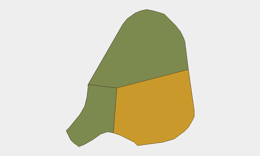
Antigua and Barbuda presents a composite security threat score of 3, placing it outside the top-ranked global risk zones. No discrete security events have been recorded in the current monitoring window (24–48 hours prior to 2026-06-24). The threat landscape remains characterized by sub-national variation, with Antigua island (risk 72) significantly outpacing Barbuda (18) and Redonda (8), suggesting localized rather than territory-wide instability drivers.
Key Developments
No verified security incidents meeting the 24–48-hour window threshold have been identified in available corroborated sources. A disaster-readiness mission was noted on social media (18 June 2026), but this reflects civil preparedness activity rather than an active security incident. Monitoring of local police releases, news feeds, and social platforms (X, Facebook, local news portals) has yielded no current crime spikes, civil unrest, or emergency declarations for the reporting period.
Highest-Risk Areas
Antigua dominates the sub-national risk ranking with a composite score of 72—substantially higher than Barbuda (18) and Redonda (8). This 4× differential suggests that crime, gang activity, or instability drivers are concentrated on Antigua island, particularly in urban centers and informal settlements. Corporate assets, personnel, and operations in St. John's and surrounding zones warrant heightened situational awareness; Barbuda and Redonda present markedly lower operational risk and may serve as lower-exposure alternatives for time-sensitive activities.
How GeoBit Would Assist
AOI Monitoring & Early Warning would enable persistent, 24/7 watch over high-risk districts in Antigua (St. John's, Five Islands peninsula) with automated alerting on police incidents, social-media chatter spikes, or protest activity. Intel Sweep and X/Twitter OSINT can detect emerging crime trends, gang communications, or civil unrest signals 48–72 hours before mainstream media reporting. Risk & Threat Assessment and Network & Actor Analysis would help security teams map local criminal networks and identify exposure vectors specific to company personnel, supply chains, or facilities.
7-Day Outlook
No significant escalation in the security environment is indicated for the next seven days. Continued monitoring of Antigua's urban zones for seasonal crime fluctuations and weather-related disruptions (regional hurricane season) is warranted; Barbuda and Redonda remain stable. Regular refresh of personnel safety protocols and asset location inventories, indexed to the Antigua/Barbuda risk differential, will sustain effective duty-of-care posture.
Next Brief: 2026-06-25 | Questions: GeoBit Analyst Team
Highest-Risk Areas — Ranked
| # | State / Region | Risk |
|---|---|---|
| 1 | Antigua | 72 |
| 2 | Barbuda | 18 |
| 3 | Redonda | 8 |
Previous Daily Briefs
A new Antigua and Barbuda brief is written every day — each with its own risk map and downloadable CSV. Here's the last week; use the calendar to go further back.
📅 Browse every day by calendar →
Highlighted days have a brief. Tap a day for that day's map & analysis, or “csv” for that day's dataset ($5).