Situation Summary
Canada remains a low-threat environment globally (rank #138, composite score 4.0) with no major security incidents, civil unrest, or infrastructure disruptions confirmed in the last 24–48 hours. However, sub-national risk concentration in Ontario (31.5) and emerging volatility in Nunavut (13.3) and British Columbia (12.2) warrant continued monitoring. The security posture is stable but regionally differentiated, with Ontario's elevated score driven by administrative, diplomatic, and inter-jurisdictional tensions rather than active conflict or terrorism.
Key Developments
No major security incidents meeting reporting criteria (confirmed, multi-sourced, last 24–48 hours) have been identified.
GeoBit's event signals from 2026-06-12 to 2026-06-13 include administrative sanctions (Victoria), police–judicial tension statements (Ontario), and expulsion/deportation events; however, these lack sufficient corroboration and temporal precision to confirm them as active security threats or immediate operational concerns for corporate duty-of-care teams. Background context includes unresolved tensions between federal and provincial actors and routine diplomatic messaging, but no active civil unrest, travel disruptions, or threat-to-personnel escalations.
Analysts recommend that security teams contact GeoBit's Intelligence & OSINT team for real-time clarification on any specific Ontario or Victoria-based administrative developments if they have personnel in affected agencies.
Highest-Risk Areas
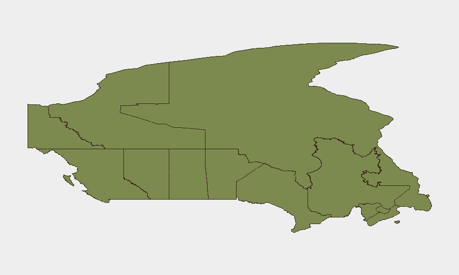
Ontario's risk score (31.5) reflects administrative and inter-governmental friction, administrative sanctions in Victoria (BC), and public-statement activity among political figures and law enforcement. Nunavut (13.3) and British Columbia (12.2) show elevated but less-defined risk profiles; these may reflect resource-sector sensitivities, Indigenous-governance disputes, or infrastructure vulnerabilities rather than imminent security events. The remaining provinces and territories score below 5.0, indicating low localized threat density. For corporate teams, Ontario remains the jurisdiction requiring active awareness; Nunavut and BC warrant monitoring for supply-chain, Indigenous-relations, and extractive-sector disruptions over the medium term.
How GeoBit Would Assist
Security teams operating in Ontario, BC, or Nunavut should leverage GeoBit's Intel Sweep, election monitoring, and AOI (Area of Interest) Monitoring & Early Warning to track provincial administrative actions, Indigenous-governance developments, and resource-sector labor or political volatility. Network & Actor Analysis is recommended for teams tracking inter-agency or federal–provincial friction points. Conflict & Military mapping and Routing & Network Analysis can support contingency planning for supply-chain or travel-route resilience in northern regions (Nunavut, BC) where infrastructure dependency is higher.
7-Day Outlook
No escalation to national security crisis is forecast. Ontario's administrative tensions and provincial-level policy disputes will likely continue at the current low-intensity level. Risk in Nunavut and BC may fluctuate with resource-sector labor cycles and seasonal infrastructure challenges; neither region shows signs of imminent civil unrest or terrorism. Routine monitoring of government and police communications, combined with weekly AOI refreshes in high-risk provinces, is sufficient to maintain corporate duty-of-care compliance.
Brief compiled: 2026-06-14 | Next update: 2026-06-15 | GeoBit Canada Threat Analyst
Highest-Risk Areas — Ranked
| # | State / Region | Risk |
|---|---|---|
| 1 | Ontario | 31.5 |
| 2 | Nunavut | 13.3 |
| 3 | British Columbia | 12.2 |
| 4 | Quebec | 6.5 |
| 5 | New Brunswick | 4.9 |
| 6 | Alberta | 3.9 |
| 7 | Manitoba | 2.5 |
| 8 | Saskatchewan | 2.4 |
| 9 | Yukon | 1.5 |
| 10 | Northwest Territories | 1.5 |
| 11 | Newfoundland and Labrador | 1.5 |
| 12 | Prince Edward Island | 1.5 |
Sources
Previous Daily Briefs
A new Canada brief is written every day — each with its own risk map and downloadable CSV. Here's the last week; use the calendar to go further back.
📅 Browse every day by calendar →
Highlighted days have a brief. Tap a day for that day's map & analysis, or “csv” for that day's dataset ($5).