Situation Summary
Central African Republic remains in a state of chronic fragmentation, characterized by competing armed groups, foreign paramilitaries, and weakened state authority across most prefectures outside Bangui. While no major new incident has been recorded in the past 24 hours, the underlying security environment is highly volatile, with active conflict concentrated in the southeast (Haut-Mbomou, Mbomou) and northeast (Vakaga), intra-group fragmentation in the northwest (3R factions), and systemic abuses reported nationwide. The trajectory remains deteriorating: documented human-rights violations have risen 73% year-on-year, and armed groups retain capacity to disrupt state functions and target civilians with near-total impunity.
Key Developments
- Zemio & Mboki (Haut-Mbomou): Sustained FACA and Africa Corps operations against AAKG militia since May 2025 have displaced over 10,000 civilians, with documented looting, arson, and cross-border flight into DRC; risk of ongoing military-militia confrontation remains acute.
- Vakaga prefecture (northeast, Sudan border): Recurrent attacks by unidentified armed elements and Sudanese cross-border incursions have killed civilians and wounded peacekeepers (including a fatal MINUSCA patrol ambush); ambush and IED risk elevated on northern roads.
- Mbomou & Haut-Mbomou mass-casualty attacks: October 2024 and January 2025 waves by "Wagner Ti Azandé" killed at least 24 civilians via summary executions and conflict-related sexual violence; atrocity-crime and sexual-violence patterns persist.
- Bozoum (Ouham-Pendé, northwest): June–August 2025 intra-3R factional clashes and retaliatory strikes displaced 5,000–6,000 people and destroyed dozens of homes; fragmentation within 3R increases checkpoint extortion and roadblock risk.
- Aba-Gobani (Nana-Mambéré, west): August 2025 government–anti-Balaka clashes resulted in at least one soldier killed; anti-Balaka remnants remain operationally present along western routes to Cameroon.
- Africa Corps gold-mining sites: July 2025 incident at a foreign-controlled mining site resulted in at least 11 artisanal-miner killings and disappearances; mining zones present elevated lethal-force and arbitrary-detention risk.
- December 2025 election disruptions: AAKG militia prevented opening of 21 polling centers in Obumu/Umbumu prefecture during nationwide elections; political gatherings in insecure areas remain vulnerable to armed interference.
Highest-Risk Areas
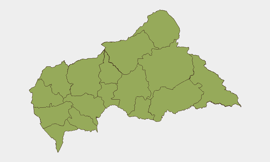
The 12 prefectures ranked equally (risk 49.5) reflect a nationwide dispersal of armed-group presence and state fragility. However, Haut-Mbomou, Mbomou, and Vakaga drive the highest immediate threat to personnel: active combat operations, mass-casualty attack patterns, and documented atrocities characterize the southeast; cross-border armed infiltration and peacekeeper targeting define the northeast. Ouham-Pendé and Nana-Mambéré in the northwest and west present sustained fragmentation and anti-government militia activity. Mining sites and transhumance corridors nationwide are secondary hotspots where foreign-controlled security forces and armed groups operate with minimal accountability.
How GeoBit Would Assist
Security teams should deploy AOI Monitoring & Early Warning on the highest-risk prefectures (Haut-Mbomou, Vakaga, Ouham-Pendé) to detect movement patterns, roadblock placement, and armed-group activity in real time. Routing & Network Analysis capabilities enable alternative-route planning around active conflict zones and checkpoint corridors. Conflict & Military mapping and OSINT fusion (via Intel Sweep, X/Telegram, and radio SIGINT) provide current force-structure and faction-leadership data to anticipate clashes and support duty-of-care assessments for personnel in or transiting CAR.
7-Day Outlook
No significant shift in the security environment is expected over the next week. Localized clashes between FACA/Africa Corps and militia elements (particularly AAKG and fragmented 3R factions) will likely continue in southeast and northwest prefectures. Personnel in high-risk areas should maintain heightened situational awareness and avoid unnecessary travel on secondary roads, particularly after dark.
Highest-Risk Areas — Ranked
| # | State / Region | Risk |
|---|---|---|
| 1 | Bamingui-Bangoran | 49.5 |
| 2 | Vakaga | 49.5 |
| 3 | Haute-Kotto | 49.5 |
| 4 | Haut-Mbomou | 49.5 |
| 5 | Mbomou | 49.5 |
| 6 | Nana-Mambéré | 49.5 |
| 7 | Ouham-Pendé | 49.5 |
| 8 | Mambéré-Kadéï | 49.5 |
| 9 | Sangha-Mbaéré | 49.5 |
| 10 | Ouham | 49.5 |
| 11 | Nana-Grébizi | 49.5 |
| 12 | Kémo | 49.5 |
Sources
Previous Daily Briefs
A new Central African Republic brief is written every day — each with its own risk map and downloadable CSV. Here's the last week; use the calendar to go further back.
📅 Browse every day by calendar →
Highlighted days have a brief. Tap a day for that day's map & analysis, or “csv” for that day's dataset ($5).