Situation Summary
Dominican Republic remains a low-to-moderate threat environment (composite score 39; rank #null globally), with risk heavily concentrated in the eastern resort zones. A major hotel fire in La Altagracia on 20 June has created acute travel disruption and one confirmed fatality, though the incident appears isolated and non-security-related. Current event signals include military-related activities, public statements, and tourist-related threats, warranting close monitoring of underlying drivers. The country's trajectory remains stable absent new intelligence indicating escalation.
Key Developments
- Bayahibe, La Altagracia Province (20 Jun): Large fire destroyed significant portions of Viva Dominicus Beach by Wyndham resort; approximately 1,690 tourists evacuated to alternate accommodations; one Italian national confirmed dead, several injured. Fire spread rapidly due to wind and thatched-roof construction.
- Bayahibe resort zone (19 Jun): Mass evacuation operations initiated by emergency services; adjacent Dominicus Palace resort reported undamaged and operational, limiting wider infrastructure impact but confirming short-term travel-risk disruption to the southeast tourist corridor.
- Dominican Republic (20 Jun): Multiple public statements and military-force activity recorded; concurrent reports of tourist-related threats and conventional military deployments, including activity involving Italian nationals. Underlying drivers and jurisdictional context require clarification.
- Santo Domingo (19 Jun): Demonstration/rally activity reported; public disapproval signals recorded, suggesting civil discontent separate from resort incident.
- National level (18–20 Jun): Ministry and representative statements indicate government engagement; parliamentary or institutional activity ongoing.
Highest-Risk Areas
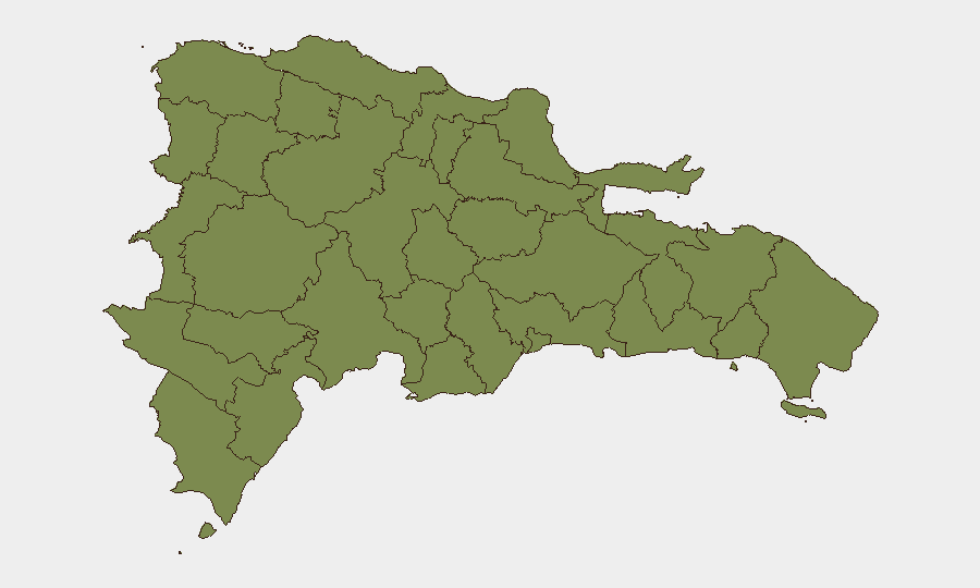
La Altagracia dominates sub-national risk (31.3) and is the epicenter of current concern, driven primarily by the resort fire and its concentration of international tourism infrastructure and guest-dependent supply chains. La Romana (16.3) and La Vega (13.5) present secondary risk through proximity and shared tourism/economic sectors. These eastern and central-eastern provinces account for the majority of tracked events and composite risk; all other provinces remain below 10 on the index. The concentration underscores that Dominican Republic's security posture is heavily shaped by resort-zone operational resilience and guest-management capacity rather than broad national instability.
How GeoBit Would Assist
Intel Sweep and OSINT fusion would rapidly corroborate driver and timeline details of the hotel fire, disambiguate the military/tourist-threat signals, and identify any secondary safety concerns in eastern resort corridors. AOI Monitoring & Early Warning on La Altagracia and La Romana would provide persistent detection of new incidents, labor actions, or infrastructure failures affecting tourism operations. Routing & Network Analysis would enable corporate security teams to plan alternative travel corridors and supply routes around the Bayahibe disruption zone, while multi-language search and sentiment analysis of local Dominican media would surface emerging civil discontent (as flagged in Santo Domingo) before escalation.
7-Day Outlook
The resort fire is expected to remain the dominant operational shock in the near term, with recovery and guest-relocation logistics consuming 48–72 hours. Military and public-statement activity should be monitored for correlation with fire response or unrelated state operations; absence of escalation in the next 3–5 days would suggest compartmentalization. La Altagracia and La Romana warrant continued watch for secondary incidents or supply-chain strain; no indicators currently suggest broadening instability beyond the resort sector.
Highest-Risk Areas — Ranked
| # | State / Region | Risk |
|---|---|---|
| 1 | La Altagracia | 31.3 |
| 2 | La Romana | 16.3 |
| 3 | La Vega | 13.5 |
| 4 | El Seibo | 9.5 |
| 5 | Barahona | 2 |
| 6 | Santo Domingo | 2 |
| 7 | Monte Cristi | 1.3 |
| 8 | Dajabón | 1.3 |
| 9 | Santiago Rodríguez | 1.3 |
| 10 | Valverde | 1.3 |
| 11 | Puerto Plata | 1.3 |
| 12 | Santiago | 1.3 |
Previous Daily Briefs
A new Dominican Republic brief is written every day — each with its own risk map and downloadable CSV. Here's the last week; use the calendar to go further back.
📅 Browse every day by calendar →
Highlighted days have a brief. Tap a day for that day's map & analysis, or “csv” for that day's dataset ($5).