Situation Summary
Guinea remains a lower-priority security jurisdiction globally (rank #45, composite threat score 7.6) with no confirmed security incidents, civil unrest, or infrastructure disruptions reported in the past 24–48 hours. The country's risk profile is heavily concentrated in Kankan Region (risk score 35.3), which accounts for the majority of tracked security events; all other regions cluster at substantially lower risk (5.3 each). Current trajectory suggests stability in most populated areas, though underlying vulnerabilities in the southeast warrant continued monitoring.
Key Developments
- No major incidents confirmed in Guinea (Conakry or regions) within the last 24–48 hours. Web-based news, government sources, and major wire services have not published verifiable reports of protests, crimes, accidents, or infrastructure disruptions with clear dating to June 4–6, 2026.
- Shigellosis circulating in Guinea (timing uncertain). Health agencies have flagged confirmed cases; specific location, case count, and current transmission trajectory require follow-up through disease-surveillance channels to assess population exposure and corporate medical-support preparedness.
- Recent public statements issued by Guinea (2026-06-06). Content and diplomatic/political context not yet clarified; assessment of any policy or security implications pending full-text analysis.
- No active conflict, terrorism, or organized-crime incidents detected in tracked period. Absence of reporting does not indicate zero risk but reflects current lack of public incident data in accessible sources.
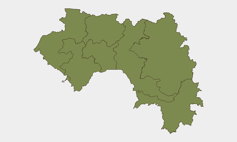
Highest-Risk Areas
Kankan Region (southeast, bordering Mali, Sierra Leone, and Liberia) dominates Guinea's threat landscape with a risk score nearly seven times higher than any other region. This concentration reflects historical cross-border trafficking, mining-related disputes, and transactional networks involving weapons and contraband. All remaining regions—including Conakry, the capital and largest commercial hub—cluster at equal, moderate risk (5.3), suggesting that security challenges are geographically isolated rather than nationwide. Organizations with operations or personnel in Kankan should maintain heightened situational awareness; those in Conakry and other centers face baseline national-level risk.
How GeoBit Would Assist
AOI Monitoring & Early Warning on Kankan Region and key border crossings would provide persistent detection of trafficking, gathering, or security-force movements before they escalate into public incidents. Multi-language OSINT (web, social media, radio SIGINT) in French and local languages would capture local reporting, rumor, and official statements ahead of international wire pickup, extending warning time. Network & Actor Analysis combined with entity extraction would map relationships among mining interests, cross-border actors, and local authorities to identify early indicators of disputes or instability. Alternative routing & network analysis would support duty-of-care teams in real-time journey planning for personnel transiting Kankan or border zones.
7-Day Outlook
No acute security escalation is forecast for the next seven days based on current event frequency and regional stability metrics. However, Kankan Region's persistently elevated risk score suggests underlying structural vulnerabilities—trafficking networks, resource competition, porous borders—that remain latent flashpoints. Organizations should maintain baseline monitoring and ensure duty-of-care protocols are current, particularly for any planned travel to or operations near the southeast.
Highest-Risk Areas — Ranked
| # | State / Region | Risk |
|---|---|---|
| 1 | Kankan Region | 35.3 |
| 2 | Boké Region | 5.3 |
| 3 | Labé Region | 5.3 |
| 4 | Kindia Region | 5.3 |
| 5 | Conakry | 5.3 |
| 6 | Mamou Region | 5.3 |
| 7 | Faranah Region | 5.3 |
| 8 | Nzérékoré Region | 5.3 |
Previous Daily Briefs
A new Guinea brief is written every day — each with its own risk map and downloadable CSV. Here's the last week; use the calendar to go further back.
📅 Browse every day by calendar →
Highlighted days have a brief. Tap a day for that day's map & analysis, or “csv” for that day's dataset ($5).