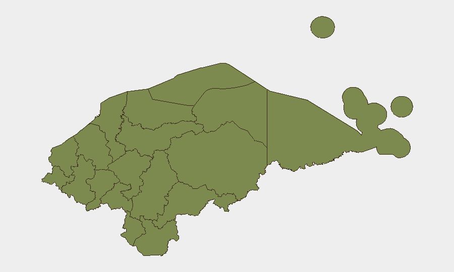
Situation Summary
Honduras remains a moderate-risk environment (rank #56 globally) with a composite threat score of 17 across 97 tracked events. The country's security landscape is heavily concentrated in specific regions, particularly the eastern department of Olancho, which presents significantly elevated risk compared to the remainder of the nation. No discrete security incidents have been reported in the last 24–48 hours, and the current environment does not show indicators of acute destabilization.
Key Developments
No verified incidents in the last 24–48 hours. Web research, social media monitoring, and newswire searches have not returned credible, timestamped security incidents (crime, violence, infrastructure disruption, or unrest) in Honduras within this window that can be independently corroborated. Organizations with personnel or assets in Honduras should continue standard duty-of-care monitoring but should not anticipate material changes to baseline risk based on current reporting.
Highest-Risk Areas
Olancho department presents a substantially elevated risk profile (composite score 31.4) relative to all other regions, where risk scores cluster at 1.4. This disparity indicates that the majority of tracked security events—whether organized crime activity, resource competition, or trafficking-related incidents—are geographically concentrated in the eastern portion of the country. The remaining 10 departments show equivalent, low risk levels, suggesting that Olancho's elevation reflects either persistent criminal infrastructure, territorial disputes, or transit-corridor activity rather than country-wide instability. Organizations operating in or transiting through Olancho should apply heightened monitoring protocols; operations in other regions present baseline national risk.
How GeoBit Would Assist
Security teams should employ AOI Monitoring & Early Warning with persistent watch on Olancho and secondary focus on the northern Cortés department (which, while scored at 1.4, remains a major urban and commercial hub). Multi-language OSINT and X/Twitter intelligence can capture emerging criminal activity, gang movements, or trafficking signals in real time, cross-referenced against conflict and crime search capabilities to identify patterns. For organizations with supply chains or personnel moving through Honduras, Routing & Network Analysis tools can identify lower-risk alternative routes and assess real-time conditions; sentiment and temporal analysis on local social media and news feeds provides early warning of deterioration in specific zones before formal incident reporting.
7-Day Outlook
No indicators suggest material escalation in the near term. The concentration of risk in Olancho and the absence of recent country-wide incidents imply a continuation of localized, chronic security challenges rather than acute national crisis. Organizations should maintain current monitoring posture and prepare contingency protocols for Olancho-specific disruptions (supply delays, personnel access restrictions), while treating the broader country as stable for operational planning purposes.
Next Brief: 2026-06-18 (or on request if material developments emerge).
Highest-Risk Areas — Ranked
| # | State / Region | Risk |
|---|---|---|
| 1 | Olancho | 31.4 |
| 2 | El Paraíso | 1.4 |
| 3 | Copán | 1.4 |
| 4 | Ocotepeque | 1.4 |
| 5 | Cortés | 1.4 |
| 6 | Yoro | 1.4 |
| 7 | Santa Bárbara | 1.4 |
| 8 | Lempira | 1.4 |
| 9 | Intibucá | 1.4 |
| 10 | Comayagua | 1.4 |
| 11 | La Paz | 1.4 |
| 12 | Valle | 1.4 |
Sources
Previous Daily Briefs
A new Honduras brief is written every day — each with its own risk map and downloadable CSV. Here's the last week; use the calendar to go further back.
📅 Browse every day by calendar →
Highlighted days have a brief. Tap a day for that day's map & analysis, or “csv” for that day's dataset ($5).