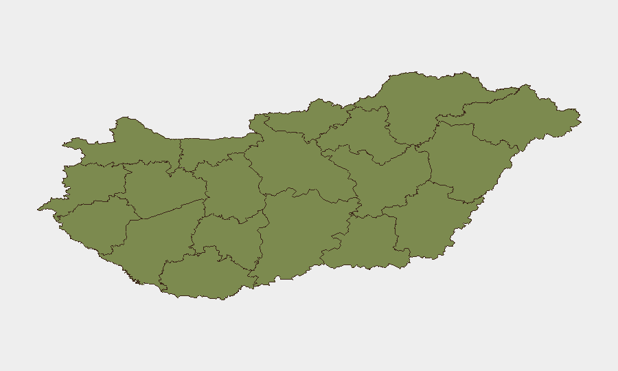
Situation Summary
Hungary remains a low-threat environment globally (rank #119, composite score 7) with 23 tracked security events, but the past 48 hours show a concentration of street crime, traffic enforcement, and fraud operations across multiple counties. Domestic political tension is evident from recent parliamentary rejections and disapproval signals toward international actors, though no direct spillover to public safety has materialized. Street-level violence (assault in Óbuda, building collapse rescue) and organized crime activity (online fraud network arrests) indicate routine criminal pressure rather than systemic instability.
Key Developments
- Budapest, Óbuda district (District III) – 12–13 July: Police released CCTV images and opened a serious bodily harm investigation following a violent assault; case marked urgent in public appeal on official police news feed within last 24 hours.
- Pest County – 13 July: Coordinated police operation dismantled an online fraud organization using fake service advertisements; multiple suspects arrested and case reported in national police communiqué.
- Veszprém County, Veszprém city – 13 July: Two men (ages 27 and 28) detained in criminal investigation; brought in for questioning and listed in county-level crime report.
- Unspecified Hungary location – 13 July: Emergency services and police rescued a male victim from a partially collapsed outbuilding with life-threatening injuries; high-risk structural environment noted in police update.
- Unspecified location – 13 July: Off-duty riot police officer intervened in active street assault; incident reported in latest national police news feed.
- Bátonytelenye, Nógrád County – 13 July: Serious drunk-driving collision caused major property damage but no injuries; road-safety alert posted in police updates.
- Szabolcs-Szatmár-Bereg County, Nyíregyháza – 13 July: Theft suspect identified and arrested within short timeframe, stolen property recovered; rapid resolution highlighted in county update.
Highest-Risk Areas
Szabolcs-Szatmár-Bereg and Pest counties drive the national ranking, each with composite risk scores of 31.6, more than double Budapest's 16.6. Both regions show concentration of street crime, organized fraud networks, and traffic violations; Szabolcs-Szatmár-Bereg's northeastern border location and Pest's metropolitan density create overlapping jurisdictional and enforcement challenges. Budapest itself, while second-highest in absolute incidents, maintains lower per-capita risk intensity, reflecting distributed law enforcement presence in the capital.
How GeoBit Would Assist
Security teams should deploy Intel Sweep and OSINT fusion to monitor parliamentary and government announcements for escalation signals beyond current disapproval rhetoric, and Network & Actor Analysis to track organized crime cells (particularly fraud networks operating across county lines). AOI Monitoring & Early Warning on Szabolcs-Szatmár-Bereg and Pest counties would provide persistent watch capability for street violence and trafficking patterns, while multi-language search and sentiment analysis on Hungarian news feeds and Telegram channels would flag public order deterioration before it surfaces in police reports.
7-Day Outlook
Street-crime incidents and organized fraud operations are likely to continue at current frequency absent major political disruption. Political tension signals (parliamentary rejections, government-EU disapproval) remain rhetorical and show no imminent risk of civil unrest or international escalation. Duty-of-care teams with personnel in Pest and Budapest should maintain baseline awareness of transport corridors and public venues, particularly during peak evening hours when assault incidents are clustering.
Highest-Risk Areas — Ranked
| # | State / Region | Risk |
|---|---|---|
| 1 | Szabolcs-Szatmár-Bereg | 31.6 |
| 2 | Pest | 31.6 |
| 3 | Budapest | 16.6 |
| 4 | Komárom-Esztergom | 1.6 |
| 5 | Fejér | 1.6 |
| 6 | Nógrád | 1.6 |
| 7 | Vas | 1.6 |
| 8 | Győr-Moson-Sopron | 1.6 |
| 9 | Veszprém | 1.6 |
| 10 | Zala | 1.6 |
| 11 | Somogy | 1.6 |
| 12 | Baranya | 1.6 |
Sources
Previous Daily Briefs
A new Hungary brief is written every day — each with its own risk map and downloadable CSV. Here's the last week; use the calendar to go further back.
📅 Browse every day by calendar →
Highlighted days have a brief. Tap a day for that day's map & analysis, or “csv” for that day's dataset ($5).
Atlas — our AI intelligence desk — emails them this snapshot personally. Nothing else, no list.