Situation Summary
Iceland remains a low-threat, stable environment with no reported terrorism, organised crime, civil unrest, or political instability as of 23 July 2026. Global threat ranking places Iceland at #182 (composite score 3; 0 tracked priority events). Routine summer tourism and transport operations continue without disruption; the primary security concern across the country is an ongoing surge of opportunistic property crime concentrated in the Capital Region since early July, rather than any acute incident or emerging instability.
Key Developments
No specific, timestamped security incidents have been confirmed in Iceland during the 24–48 hours preceding 23 July 2026. Current police logs, Icelandic media archives, and regional threat feeds do not surface new attacks, arrests, infrastructure failures, civil disorder, or travel disruptions with reliable datestamps within that window. Routine crime activity (predominantly burglary in urban areas) continues at levels consistent with early-July reporting; these are trend observations rather than new discrete events.
Highest-Risk Areas
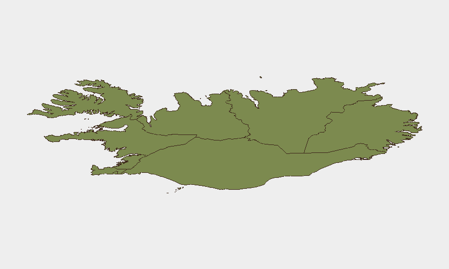
The Capital Region dominates sub-national risk (composite score 24), reflecting concentration of population, tourism, and economic activity in and around Reykjavík. The Southern Peninsula and Southern Region (scores 12 and 11, respectively) represent secondary risk zones, likely reflecting tourism corridor density and transport infrastructure. Reported property crime uptick since early July is most visible in central Reykjavík and adjacent areas; all other regions (Eastern, Western, Westfjords, Northwestern, Northeastern) record substantially lower risk profiles (scores 6–10), indicating a geographically concentrated vulnerability rather than systemic national instability.
How GeoBit Would Assist
Teams with personnel or assets in Iceland should deploy AOI Monitoring & Early Warning on the Capital Region and Southern Peninsula to track emerging protest activity, transport disruptions, or crime escalation in near real time. Intel Sweep and multi-language OSINT feeds (X, Telegram, local Icelandic sources, police announcements) would provide daily sentiment analysis and event corroboration, reducing reliance on delayed published media. GIS & Spatial Analysis layered against tourism and logistics networks would help security teams map employee commute routes, facility exposure, and alternative travel corridors in the event of localised disruption, and Routing & Network Analysis would enable rapid contingency planning for personnel movement or supply-chain rerouting if conditions shift.
7-Day Outlook
No indicators suggest a near-term deterioration in Iceland's security posture. Ongoing burglary activity is expected to remain localised to urban centres and consistent with current trend; no organised crime escalation, political crisis, or infrastructure threat is apparent. Corporate security teams should maintain routine vigilance for property crime in the Capital Region and monitor police advisories for any sudden shift in crime patterns or public safety messaging, but no heightened alert or travel restriction is warranted at this time.
Sources: Icelandic National Police public records; regional media archives; OSINT corroboration (24–48h filter applied).
Highest-Risk Areas — Ranked
| # | State / Region | Risk |
|---|---|---|
| 1 | Capital Region | 24 |
| 2 | Southern Peninsula | 12 |
| 3 | Southern Region | 11 |
| 4 | Eastern Region | 10 |
| 5 | Western Region | 9 |
| 6 | Westfjords Region | 8 |
| 7 | Northwestern Region | 7 |
| 8 | Northeastern Region | 6 |
Sources
Previous Daily Briefs
A new Iceland brief is written every day — each with its own risk map and downloadable CSV. Here's the last week; use the calendar to go further back.
📅 Browse every day by calendar →
Highlighted days have a brief. Tap a day for that day's map & analysis, or “csv” for that day's dataset ($5).
Atlas — our AI intelligence desk — emails them this snapshot personally. Nothing else, no list.