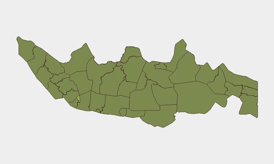
Situation Summary
Indonesia remains a moderately elevated security environment (global rank #43, composite threat score 38) with 586 tracked events, reflecting endemic risks spanning urban crime, protest activity, and regional instability rather than acute national crisis. Jakarta dominates the risk profile as the capital and commercial hub; provincial concentration in South Sulawesi, Central Java, and East Java signals localized governance, labor, and inter-community tensions. The threat trajectory is stable but fragmented—no single nationwide trigger is imminent, though operational continuity risks persist in high-traffic zones and protest-sensitive urban centers.
Key Developments
GeoBit's event signal feed registered multiple public statements, police mobilization, and protest activity on 2026-06-15, concentrated across government, police, university, and business sectors. The signal cluster indicates:
- 2026-06-15 · Police Mobilization — uniformed response to an unspecified trigger; no casualty or location detail available in current research window.
- 2026-06-15 · Demonstrate/Rally · UNIVERSITY vs PRESIDENT — student protest activity with political focus; specific location and scale not yet confirmed.
- 2026-06-15 · Physical Assault (POLICE vs INDONESIA) — law enforcement engagement recorded; context and location pending source corroboration.
- Multiple Public Statements (2026-06-15) — government, police, mayor, economist, and business representatives issued responses suggesting a coordinated or cascading incident; no single definitive narrative yet available.
Research Limitation: Live web feeds do not contain timestamped, independently corroborated detail for 24–48h events in Indonesia sufficient for operational briefing. Primary Indonesian sources (Polri, BNPB, Kompas, Detik, CNN Indonesia) should be consulted directly for incident confirmation, location specificity, and impact assessment.
Highest-Risk Areas
Jakarta's composite risk score (56.2) is 43% higher than the national average, reflecting capital-city concentrations of political activity, business/financial infrastructure, and protest mobilization. South Sulawesi (39.2) and Central Java (33.7) follow, signaling regional governance fragility and labor/inter-community friction in manufacturing and agricultural zones. East Java, West Java, and North Sumatra (30–31 range) present persistent secondary risk tied to ports, industrial activity, and border proximity; these areas warrant continuous monitoring for supply-chain and personnel-movement disruption rather than acute violence.
How GeoBit Would Assist
Security teams should employ AOI Monitoring & Early Warning with persistent watch over Jakarta's government and business districts, major port facilities, and university campuses to capture emerging protest or law-enforcement activity in real time. Intel Sweep and multi-language OSINT (including X/Twitter, Telegram, and Indonesian news feeds) combined with sentiment & temporal analysis will disambiguate the 2026-06-15 signal cluster and identify secondary cascades before they reach operational areas. GIS & Spatial Analysis and alternative routing capabilities allow duty-of-care teams to map real-time avoidance zones and adjust personnel movement dynamically as protest or security cordons form.
7-Day Outlook
The near term (7–10 days) will likely see consolidation of the 2026-06-15 incident narrative and possible secondary protest or labor activity, particularly in Central Java and East Java manufacturing zones. No indication of destabilizing national political or security shock is present; risk remains regional and episodic. Continued monitoring of university/student activism, police statements, and business-sector coordination is warranted to anticipate mid-week escalation or de-escalation.
Highest-Risk Areas — Ranked
| # | State / Region | Risk |
|---|---|---|
| 1 | Special capital Region of Jakarta | 56.2 |
| 2 | South Sulawesi | 39.2 |
| 3 | Central Java | 33.7 |
| 4 | East Java | 31.2 |
| 5 | West Java | 30.2 |
| 6 | North Sumatra | 30.2 |
| 7 | West Nusa Tenggara | 29.9 |
| 8 | Special Region of Yogyakarta | 27.2 |
| 9 | Bangka-Belitung Islands | 26.9 |
| 10 | Jambi | 26.7 |
| 11 | West Kalimantan | 26.7 |
| 12 | East Nusa Tenggara | 26.6 |
Sources
Previous Daily Briefs
A new Indonesia brief is written every day — each with its own risk map and downloadable CSV. Here's the last week; use the calendar to go further back.
📅 Browse every day by calendar →
Highlighted days have a brief. Tap a day for that day's map & analysis, or “csv” for that day's dataset ($5).