Situation Summary
Taiwan faces elevated cross-Strait military and maritime pressure, with Chinese Coast Guard patrols in eastern waters and large-scale PLA air activity near the island reported in the 48 hours through 10 June. Taiwan's armed forces have responded with coastal defense drills and public criticism of Beijing's actions as psychological warfare and coercive intimidation. While no direct military incidents or airspace violations over Taiwan proper have been confirmed, the frequency and scale of PRC activity represent a sustained uptick in tension. The security environment remains tense but not acute.
Key Developments
- Eastern coastal waters (9–10 June 2026): Taiwan Coast Guard confronted Chinese Coast Guard vessels on patrol east of Taiwan; Taipei characterized the patrols as provocative and part of cognitive warfare; vessels were warned away and reportedly departed the area.
- Air Defense Identification Zone, around Taiwan (8–10 June 2026, 48-hour window to 06:00 local time 10 June): Taiwan's Ministry of National Defense detected 62 PLA military aircraft near Taiwan, including incursions into the ADIZ; no confirmed violations of Taiwan airspace proper, but activity framed by Taipei as part of escalating coercive pressure.
- Taiwanese coastal locations (early June, ongoing): Taiwan's armed forces conducted coastal defense drills simulating amphibious defense and destruction of an invading force, employing rocket systems, artillery, anti-tank missiles, and mobile combat units; characterized by local observers as realistic combat-readiness exercises amid heightened tension.
- Political and institutional response (8–10 June): Taiwan's defense minister criticized Beijing in parliament; multiple government ministries initiated investigations related to recent events; NVIDIA issued a public statement on Taiwan-related matters; unspecified presidential and judicial tensions emerged.
- Regional military posture (10 June): China's military issued mobilization orders; prosecutors reported conventional military force assessments; Japan made formal demands of Taiwan, suggesting broader regional security coordination.
Highest-Risk Areas
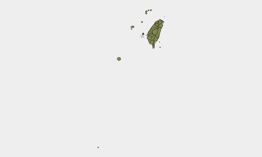
Taipei dominates Taiwan's sub-national risk profile (31.3), driven by its status as the political, economic, and diplomatic capital and primary target for PRC pressure operations. Nantou County (21.6) appears elevated, likely reflecting inland critical infrastructure or symbolic significance in conflict scenarios. The remaining counties and cities cluster at substantially lower risk (1.3–2.2), indicating that security concerns are concentrated in the capital and select inland areas rather than distributed across the island. Coastal and offshore regions (Kinmen, Lienchiang, Penghu) maintain baseline risk despite their strategic proximity to the mainland.
How GeoBit Would Assist
A security team managing people or assets in Taiwan would deploy AOI Monitoring & Early Warning on Taipei and key coastal approaches to receive real-time alerts on PRC military activity, Coast Guard movements, and drill schedules. Conflict & Military capabilities—including force structure tracking, battle-mapping, and weapons-capability analysis—would provide continuous updates on PLA air and maritime posture and Taiwan's defensive posture. Maritime & Aviation tracking combined with OSINT fusion (X/Twitter, Telegram, YouTube, multi-language sources) would deliver early warning of escalation patterns, cross-Strait incidents, or policy shifts before they materialize operationally.
7-Day Outlook
PRC military activity is likely to remain elevated through mid-June as part of sustained coercive signaling; Taiwan will continue defensive drills and public statements. The risk of accidental escalation (e.g., collision, miscommunication) remains present but low in the absence of kinetic incident. Monitoring for shifts in Chinese mobilization orders, Japanese defense statements, or unscheduled high-level political meetings will be critical indicators of further deterioration.
Highest-Risk Areas — Ranked
| # | State / Region | Risk |
|---|---|---|
| 1 | Taipei | 31.3 |
| 2 | Nantou County | 21.6 |
| 3 | Pingtung County | 2.2 |
| 4 | Kaohsiung | 1.3 |
| 5 | Taitung County | 1.3 |
| 6 | Lienchiang County | 1.3 |
| 7 | Kinmen | 1.3 |
| 8 | Penghu | 1.3 |
| 9 | Changhua County | 1.3 |
| 10 | Miaoli County | 1.3 |
| 11 | Taichung | 1.3 |
| 12 | Yunlin County | 1.3 |
Sources
Previous Daily Briefs
A new Taiwan brief is written every day — each with its own risk map and downloadable CSV. Here's the last week; use the calendar to go further back.
📅 Browse every day by calendar →
Highlighted days have a brief. Tap a day for that day's map & analysis, or “csv” for that day's dataset ($5).