ملخص الحالة
تواجه تايوان توترات متزايدة عبر المضيق في أعقاب سلسلة من المناورات العسكرية الصينية والخطاب الرسمي في 17–18 يونيو 2026. تشير مؤشرات الأحداث إلى بيانات تهديد صينية موجهة إلى تايوان، مع رفض تايواني متزامن وبيانات مضادة، ونشاط تحقيق داخل القوات المسلحة التايوانية. درجة التهديد المركبة البالغة 13 تضع تايوان في الفئة المتوسطة عالميًا؛ غير أن سرعة الأحداث السريعة وأنماط الإشارات العسكرية تستدعي رصدًا دقيقًا على مدى الـ 48–72 ساعة القادمة.
التطورات الرئيسية
- 2026-06-18 · خطاب التهديد عبر المضيق. تبادلت الصين وتايوان بيانات تهديد عامة ورسائل عدم الموافقة في 18 يونيو. أصدرت بكين إشارتي تهديد منفصلتين على الأقل موجهة إلى تايوان؛ وردت تايوان ببيانات عامة ورفض الطلبات. لم يتم الإبلاغ عن أي حادث حركي، لكن دورة متصعدة في الخطاب نشطة.
- 2026-06-18 · تحقيق القوات المسلحة. بدأت القوات المسلحة التايوانية تحقيقًا في 18 يونيو؛ لم يتم توضيح النطاق والجهة المستهدفة من التقارير المتاحة. يشير التوقيت المتزامن مع التوترات عبر المضيق إلى احتمال خرق أمني أو قلق استخباري أو تحقيق داخلي يتعلق بالجاهزية العسكرية.
- 2026-06-17 · مناورات القوة العسكرية التقليدية. نشرت تايوان أو أعلنت عن قدرة عسكرية تقليدية في 17 يونيو كرد واضح على أو متزامن مع الإشارات عبر المضيق. لم تُحدد تفاصيل المنصة والموقع والحجم في الإشارات الحالية.
- 2026-06-18 · احتكاك الحكومة والعاملين. رفضت حكومة تايوان طلبًا من العاملين في 18 يونيو، مما يشير إلى احتكاك مدني متعلق بالعمل أو التوظيف بمعزل عن النشاط عبر المضيق. تأثير أمني فوري منخفض، لكنه قد يشير إلى ضغوط داخلية أوسع أو إجهاد اقتصادي.
- 2026-06-18 · عدم الموافقة العامة (عدة جهات فاعلة). أصدرت الجماهير التايوانية والصينية بيانات عدم موافقة في 18 يونيو، مما يشير إلى استقطاب المشاعر والتضخيم الاجتماعي للتوترات الرسمية.
قيود البيانات: تبقى مواقع الحوادث التفصيلية والوحدات أو المنصات العسكرية المحددة والتأكيد المستقل للحجم غير متاحة من التحقق الحالي من المصادر المفتوحة. لم يسفر البحث الإلكتروني الذي أُجري في 19 يونيو عن تأكيد مستقل أو درجة أدق لهذه الإشارات.
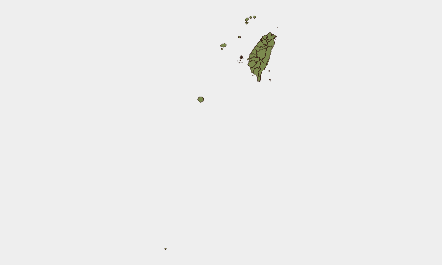
المناطق الأعلى مخاطر
تحتل تينان (مخاطر 31.3) ومقاطعة نانتو (مخاطر 17.5) مرتبة أعلى بكثير من جميع المناطق دون الوطنية الأخرى، تليها تايبيه (15.2). يشير تركيز المخاطر في تينان—وهي مدينة ساحلية جنوبية بها بنية تحتية بحرية عسكرية ومدنية—إلى قلق متزايد يتعلق بالنشاط البحري أو الخدمات اللوجستية أو وضع الدفاع الجوي. قد يعكس ارتفاع نانتو منشآت عسكرية داخلية أو عُقد موارد استراتيجية. يعكس خطر تايبيه تعرض المدينة الرأسمالية للرسائل السياسية والعسكرية المباشرة والنشاط السيبراني أو الاستخباري المحتمل. تتجمع جميع المناطق الأخرى عند 1.3، مما يشير إما إلى تعرض أساسي أقل أو قطعة بيانات تركيز.
كيف ستساعد GeoBit
مسح المخابرات ومراقبة منطقة الاهتمام في تينان وبينجهو وكينمن وقناة باشي ستؤسس كشفًا عن الأحداث المستمر والدائم 24 ساعة مع تنبيهات آلية حول الحركات العسكرية ونشاط الموانئ والبيانات الرسمية. تحليل الأقمار الصناعية والصور الممزوج مع تتبع النقل البحري سيؤكد أوضاع جيش التحرير الشعبي الصيني الجوية أو البحرية بالقرب من الجزر الخارجية والمنطقة الاقتصادية لتايوان. تحليل الشبكة والممثلين المقترن مع دمج OSINT متعدد اللغات (وسائل الإعلام الحكومية الصينية ووزارة الدفاع التايوانية وقنوات المتحدثين باسم جيش التحرير الشعبي الصيني) سيوضح الخطاب من النية القابلة للتنفيذ ويسطح إشارات التنسيق قبل
المناطق الأعلى خطورة — مرتبة
| # | الولاية / المنطقة | الخطر |
|---|---|---|
| 1 | Tainan | 31.3 |
| 2 | Nantou County | 17.5 |
| 3 | Taipei | 15.2 |
| 4 | Kaohsiung | 1.3 |
| 5 | Pingtung County | 1.3 |
| 6 | Taitung County | 1.3 |
| 7 | Lienchiang County | 1.3 |
| 8 | Kinmen | 1.3 |
| 9 | Penghu | 1.3 |
| 10 | Changhua County | 1.3 |
| 11 | Miaoli County | 1.3 |
| 12 | Taichung | 1.3 |
المصادر
الموجزات اليومية السابقة
يُنشر موجز جديد عن Taiwan كل يوم — لكل منها خريطة مخاطر وملف CSV قابل للتنزيل. هذا هو الأسبوع الأخير؛ استخدم التقويم للرجوع أبعد.
📅 Browse every day by calendar →
Highlighted days have a brief. Tap a day for that day's map & analysis, or “csv” for that day's dataset ($5).