Situation Summary
Tanzania remains a moderate-risk environment (global rank #54) with a composite threat score of 34 across 163 tracked events. The security landscape is dominated by ongoing political-legal consequences of the October 2025 election unrest, manifested in sustained detention of protest-linked figures and escalating use of non-bailable terrorism charges against activists and opposition sympathizers. Wildfire activity across multiple regions and a recent hospital-related incident signal additional hazards. The current environment reflects tightened state control over dissent rather than acute outbreak of mass violence, but legal and detention practices are intensifying pressure on civil society and political organizing.
Key Developments
- Nationwide detention pattern confirmed (22 July 2026). Legal and Human Rights Centre documented at least 55 individuals held in police stations across Dar es Salaam, Mwanza, Shinyanga, Kagera, Mbeya, Iringa, and Dodoma for 5–25 days without bail or court appearance, despite facing bailable offences. Pattern indicates systemic delay in judicial process and potential unlawful detention, with socio-economic impact on detainee families.
- Dodoma – terrorism charge substitution (21 July 2026). University of Dodoma lecturer Dr. Melkisedeki Kaijage had bail granted on protest-incitement charges then immediately re-arrested after prosecutors replaced the charge with non-bailable terrorism allegation; transferred to Isanga Prison. Tactic reflects escalation in legal mechanisms to suppress dissent and extends detention without court hearing.
- Mwanza Region – mass non-bailable charging (late July 2026). Twenty-three individuals charged with terrorism or economic sabotage; pattern shows authorities initially using bailable offences then upgrading to non-bailable categories to prevent release. Fourteen detainees in Mwanza held approximately 14 days without court appearance.
- Mbeya Region – activist charging (late July 2026). Six youth activists tied to opposition-aligned groups CHASO/BAVICHA charged with non-bailable terrorism or economic sabotage; held approximately 14 days without bail hearing. Reflects geographic spread of legal pressure against political mobilization.
- Wildfire events across regions (recent). Multiple wildfire events recorded in Tanzania (IDs 1029688, 1029759, 1029694, 1029623) with insufficient current detail; monitor for infrastructure or settlement impact and air-quality effects on operations.
- Hospital-related public statement (25 July 2026). Limited data available; recommend targeted research on health-system disruptions or patient-access impacts.
Note: No major new violent incidents, riots, or infrastructure attacks documented in last 24–48 hours. The acute risk is legal/detention environment, not immediate physical threat.
Highest-Risk Areas
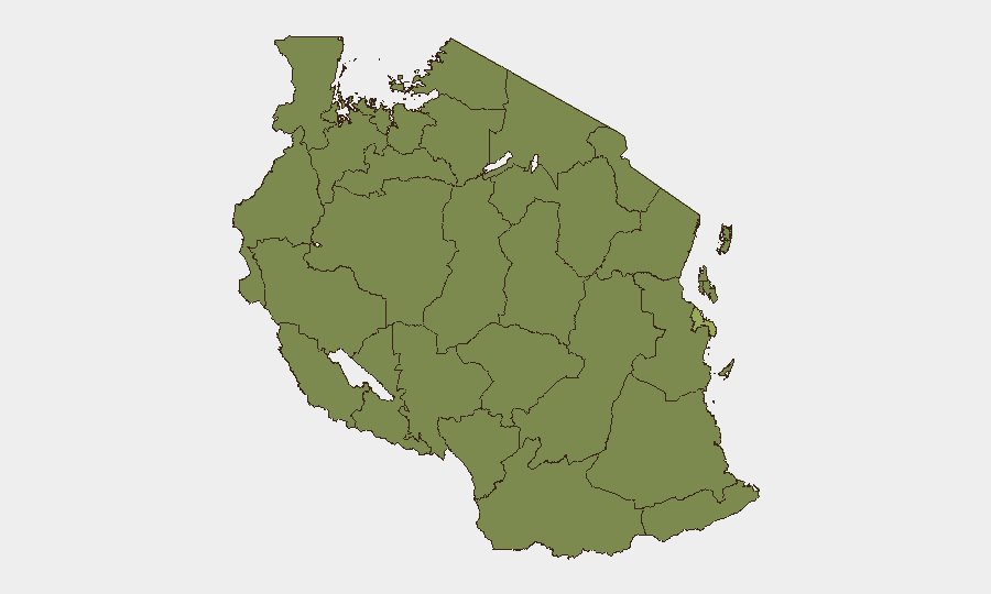
Dar es Salaam dominates sub-national risk (score 53.5)—home to the majority of detained individuals (15 of 55 nationwide), concentration of commercial and diplomatic activity, and epicenter of October 2025 post-election unrest. A second-tier cluster of western and northwestern regions (Kigoma, Kagera, Mwanza, Geita, Shinyanga, Tabora, Katavi, Simiyu) all score 23.4, driven primarily by the detention surge and terrorism charges affecting activists in Mwanza and Kagera. Southern and southwestern regions (Rukwa, Songwe, Mara) follow similar pattern. Risk is legal/security-apparatus risk rather than localized violence; Dar es Salaam remains the operational and reputational focal point.
How GeoBit Would Assist
Intel Sweep & OSINT fusion can monitor X/Twitter, legal-reporting feeds, and rights-body updates to track detention patterns and charge escalations in near-real time. AOI Monitoring & Early Warning with persistent watch over Dar es Salaam, Mwanza, and Mbeya would flag new mass arrests or court-proceeding developments. Conflict & Regime-Stability intelligence can assess whether terrorism-charge patterns indicate broader crackdown escalation or signal imminent policy shift affecting business continuity and travel.
7-Day Outlook
The pattern of charging and detention is likely to continue absent political settlement. Organizations with staff or operations in Dar es Salaam should anticipate further detention of protest-linked figures and possible secondary impacts (workplace absences, family-support requests, community tension). Wildfire hazard and hospital operational status warrant targeted monitoring. No imminent large-scale violence anticipated, but legal environment for political expression remains highly constrained.
Highest-Risk Areas — Ranked
| # | State / Region | Risk |
|---|---|---|
| 1 | Dar es-Salaam | 53.5 |
| 2 | Kigoma Region | 23.4 |
| 3 | Kagera | 23.4 |
| 4 | Mwanza Region | 23.4 |
| 5 | Geita | 23.4 |
| 6 | Shinyanga Region | 23.4 |
| 7 | Tabora Region | 23.4 |
| 8 | Katavi Region | 23.4 |
| 9 | Rukwa Region | 23.4 |
| 10 | Songwe Region | 23.4 |
| 11 | Mara Region | 23.4 |
| 12 | Simiyu | 23.4 |
Sources
Previous Daily Briefs
A new Tanzania brief is written every day — each with its own risk map and downloadable CSV. Here's the last week; use the calendar to go further back.
📅 Browse every day by calendar →
Highlighted days have a brief. Tap a day for that day's map & analysis, or “csv” for that day's dataset ($5).
Atlas — our AI intelligence desk — emails them this snapshot personally. Nothing else, no list.