Situation Summary
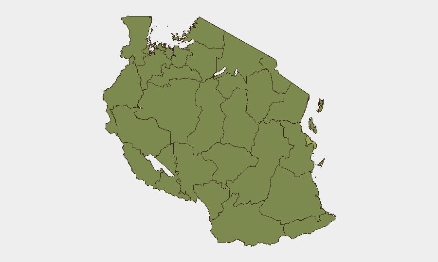
Tanzania faces an elevated security environment driven by a sustained political crackdown targeting opposition figures, protest organizers, and civil-society actors on terrorism and incitement charges. Simultaneous maritime-security pressure—including a Tanzanian-flagged vessel hijacking in the Gulf of Aden—compounds supply-chain and maritime-transit risk. The composite threat score of 33 (global rank #55) reflects concentration of risk in Dar es-Salaam (53.4), while secondary clusters across northwestern and western regions (Kigoma, Kagera, Mwanza, Geita, Shinyanga, Tabora, Katavi, Rukwa, Songwe, Mara, Simiyu) each score 23.4; wildfire events are also adding to environmental stress.
Key Developments
- Dodoma — July 26, 2026 (last 24 hours). Tanzania Police Force arraigned 36 of 130 arrested individuals in court on formal terrorism and civil-unrest charges, part of a nationwide crackdown following a ban on political rallies. Charges frame protest organization and alleged criminal incitement as terrorism offences.
- Nationwide detention pattern — through July 26, 2026. The Legal and Human Rights Centre documented 55 individuals held across seven regions (Dar es Salaam, Mwanza, Shinyanga, Kagera, Mbeya, Iringa, Dodoma) for 5–25 days without bail or initial court appearance, despite facing bailable offences. Dar es-Salaam accounts for the longest pre-trial detention (up to 25 days).
- Dar es-Salaam, Mwanza, Mbeya — July 23, 2026. More than 20 CHADEMA opposition members and a University of Dodoma lecturer (Melkisedek Kaijage) were arraigned on terrorism and economic-sabotage charges; 27 regional party leaders from Mwanza and Mbeya face terrorism-related charges linked to alleged July 7 protest organization.
- Gulf of Aden / Dar es-Salaam — July 23, 2026. MT Asana, a Tanzanian-flagged fuel and chemical tanker en route to Tanzania from Yemen, was hijacked in Yemeni waters by Somali pirates and is being held in Somali territorial waters. Tanzania's government is verifying vessel links and tracking the incident; fuel-supply implications for Tanzania remain under assessment.
- Hospital security incident — July 25, 2026. A public statement related to a hospital incident was flagged in event signals; specific operational details are pending clarification.
- Wildfire events — recent cluster. Multiple wildfire events (IDs 1029688, 1029694, 1029623, 1029426) have been recorded across Tanzania in the past week, adding pressure on regional infrastructure and emergency-response capacity.
Highest-Risk Areas
Dar es-Salaam dominates the risk landscape (53.4), reflecting concentration of political detentions, opposition-party activity, and maritime traffic. The northwestern and western corridor—Kigoma, Kagera, Mwanza, Geita, Shinyanga, Tabora, Katavi, Rukwa, Songwe, Mara, and Simiyu—each at 23.4, reflects secondary detention activity, opposition-party presence, and cross-border mobility. These regions correlate with locations cited in LHRC detention reports (Mwanza, Kagera, Shinyanga) and recent terrorism arraignments (Mwanza, Mbeya). Risk is primarily political and administrative, but maritime and environmental stressors amplify duty-of-care exposure.
How GeoBit Would Assist
Intel Sweep and OSINT Fusion would correlate arrest announcements, court filings, and opposition-party statements to map detention patterns and prosecution escalation in real time. AOI Monitoring & Early Warning on Dar es-Salaam, Mwanza, and Dodoma would alert to further arraignments, rally bans, or security-force activity before operational impact. Maritime & Aviation Tracking combined with Economic & Trade analysis would monitor piracy risk and fuel-tanker movements affecting supply-chain continuity to Tanzania's ports.
7-Day Outlook
Terrorism charges against opposition and protest figures are likely to continue through early August, with further court activity expected in Dar es-Salaam and regional centers. Maritime risk to fuel shipments destined for Tanzania will remain elevated while MT Asana remains hijacked. Environmental stress from wildfires may constrain movement and emergency-response capacity in affected regions.
Highest-Risk Areas — Ranked
| # | State / Region | Risk |
|---|---|---|
| 1 | Dar es-Salaam | 53.4 |
| 2 | Kigoma Region | 23.4 |
| 3 | Kagera | 23.4 |
| 4 | Mwanza Region | 23.4 |
| 5 | Geita | 23.4 |
| 6 | Shinyanga Region | 23.4 |
| 7 | Tabora Region | 23.4 |
| 8 | Katavi Region | 23.4 |
| 9 | Rukwa Region | 23.4 |
| 10 | Songwe Region | 23.4 |
| 11 | Mara Region | 23.4 |
| 12 | Simiyu | 23.4 |
Sources
Previous Daily Briefs
A new Tanzania brief is written every day — each with its own risk map and downloadable CSV. Here's the last week; use the calendar to go further back.
📅 Browse every day by calendar →
Highlighted days have a brief. Tap a day for that day's map & analysis, or “csv” for that day's dataset ($5).
Atlas — our AI intelligence desk — emails them this snapshot personally. Nothing else, no list.