Resumen de la Situación
Islandia mantiene un perfil de riesgo de seguridad históricamente bajo sin incidentes agudos registrados a partir del 15 de junio de 2026. La puntuación de amenaza compuesta se mantiene en 1 a nivel mundial, reflejando el sistema político estable del país, la línea base baja de criminalidad y el estado de derecho establecido. La concentración de riesgo en la Región de la Capital (puntuación 24) se debe principalmente a la densidad urbana y poblaciones flotantes en lugar de conflictos activos o inestabilidad organizada. El entorno de seguridad más amplio permanece estable, sin indicadores de escalada inminente.
Desarrollos Clave
No se ha confirmado ningún incidente verificable de seguridad, disturbios civiles, delincuencia, infraestructura o riesgo de viaje específico de Islandia en las últimas 24–48 horas en los canales de reportaje de fuentes abiertas accesibles. Las señales de eventos recientes en el feed de GeoBit se relacionan con declaraciones geopolíticas externas (tensiones Israel-Irán, declaraciones pakistaníes, posiciones de política estadounidense) en lugar de incidentes u operaciones basados en Islandia. Los medios de comunicación islandeses, los servicios de emergencia y las autoridades de aviación no muestran alertas de disrupción activa a partir del 15 de junio de 2026.
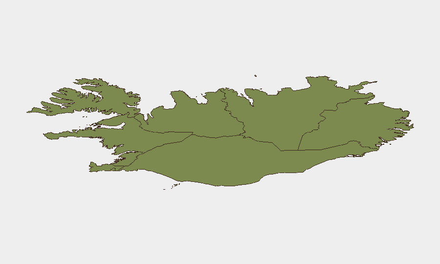
Áreas de Mayor Riesgo
La Región de la Capital (área metropolitana de Reikiavik) representa el 67% del riesgo compuesto registrado de Islandia, reflejando la concentración urbana de población, actividad comercial e infraestructura de turismo. la Península Meridional y la Región Meridional en conjunto comprenden el 20% del riesgo nacional, atribuible en parte a corredores de actividad volcánica y sísmica (monitoreo continuo por la Oficina Meteorológica de Islandia) y densidad de turismo estacional. Las regiones Oriental, Occidental y de los Fiordos Occidentales tienen puntuaciones más bajas (6–10 cada una), indicando población dispersa, densidad de infraestructura limitada y frecuencia histórica mínima de eventos. La vulnerabilidad de línea base en todas las regiones permanece vinculada al aislamiento geográfico, potencial de disrupción climática y redundancia limitada en respuesta de emergencia en lugar de amenazas agudas de seguridad humana.
Cómo GeoBit Proporcionaría Asistencia
Un equipo de seguridad corporativa con personal o activos en Islandia emplearía Monitoreo de AIO y Alerta Temprana (vigilancia persistente en la Región de la Capital y Península Meridional con alertas automatizadas en umbrales volcánicos/sísmicos, actividad de protesta o disrupciones de infraestructura). Barrido de Inteligencia y fusión de OSINT multilingüe en medios de comunicación islandeses, canales de gestión de emergencias y autoridades de aviación proporciona corroboración cruzada en tiempo real de incidentes emergentes. Inteligencia Ambiental y de Salud vinculada a feeds volcánicos y sísmicos de la Oficina Meteorológica de Islandia habilita reencaminamiento de viajes proactivo y planificación de evacuación mediante capacidades de Análisis de Enrutamiento y Redes—crítico dada la geografía dependiente de transportes de Islandia y el riesgo de cierre intermitente en la Carretera de Circunvalación y aeropuertos regionales.
Perspectiva de 7 Días
No se prevé escalada aguda en el corto plazo. El monitoreo de rutina debe continuar en actividad volcánica y sísmica (umbrales de la Oficina Meteorológica), disrupciones de carreteras y aeropuertos relacionadas con el clima, y cualquier resonancia de tensiones externas de Oriente Medio en las comunidades de diáspora pequeñas pero activas de Islandia—aunque el precedente histórico sugiere amplificación baja. Los protocolos estándar de cumplimiento de deber de cuidado (verificaciones de personal, enrutamiento de contingencia, actualizaciones de contacto de emergencia) permanecen proporcionales al perfil de riesgo actual de Islandia.
Zonas de Mayor Riesgo — Clasificadas
| # | Estado / Región | Riesgo |
|---|---|---|
| 1 | Capital Region | 24 |
| 2 | Southern Peninsula | 12 |
| 3 | Southern Region | 11 |
| 4 | Eastern Region | 10 |
| 5 | Western Region | 9 |
| 6 | Westfjords Region | 8 |
| 7 | Northwestern Region | 7 |
| 8 | Northeastern Region | 6 |
Fuentes
Informes Diarios Anteriores
Cada día se publica un nuevo informe de Iceland — cada uno con su propio mapa de riesgo y CSV descargable. Aquí está la última semana; usa el calendario para ir más atrás.
📅 Browse every day by calendar →
Highlighted days have a brief. Tap a day for that day's map & analysis, or “csv” for that day's dataset ($5).