Situation Summary
Antigua and Barbuda maintains a low overall security threat profile (global rank #197, composite score 2) with no tracked major incidents in the current reporting window. The environment is characterized by routine law-enforcement and governance activity without signs of civil unrest, political instability, or infrastructure disruption. A maritime emergency involving passenger evacuation was successfully resolved by local rescue assets within the last 48 hours, with no secondary security implications.
Key Developments
- Offshore maritime area near Antigua (early July, within 48 hours): A maritime emergency involving passengers aboard a vessel bound for Antigua prompted activation of Antigua and Barbuda Search and Rescue (ABSAR) and Defence Force Coast Guard assets. All passengers were safely recovered; the incident was resolved without escalation or wider public-safety impact.
- Antigua and Barbuda, national level (2026-07-02): Royal Police Force of Antigua and Barbuda conducted a police operation; available reporting does not specify location, scope, or any indication of unusual violence or public disorder. Operation assessed as routine law-enforcement activity.
- Antigua and Barbuda, national level (2026-07-02): Presidential statement and government investigation logged in signal data; no details on subject matter or jurisdiction currently available. Assessed as routine executive governance activity.
- Antigua and Barbuda, national level (2026-06-30 to 2026-07-02): Ministerial public statement and routine governmental communications continue; current analysis indicates no escalating political tension, civil unrest, or natural-disaster risk.
- Antigua and Barbuda, countrywide (2026-07-02): No tracked major security events, civil unrest, or infrastructure disruption reported in past 24–48 hours; environment remains stable with routine crime and governance only.
Highest-Risk Areas
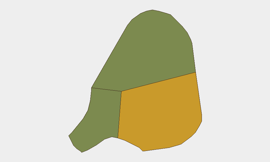
Antigua island carries the highest sub-national risk score (72), driving the country's composite threat assessment; Barbuda (18) and Redonda (8) present significantly lower risk. Antigua's higher risk reflects routine urban crime, concentrated population, and government/law-enforcement activity typical of the national capital region, rather than acute conflict, instability, or civil unrest. The disparity reflects geographic and demographic concentration rather than acute threat escalation.
How GeoBit Would Assist
Organizations with personnel or assets in Antigua and Barbuda may employ AOI Monitoring & Early Warning to sustain persistent watch over high-risk zones (particularly Antigua's urban centers) and receive automated alerts on civil unrest, infrastructure failure, or crime spikes. OSINT fusion (X/Twitter, local media, government signals) provides continuous corroboration of official statements and early detection of political or social tension. Maritime & Aviation tracking offers real-time visibility of vessel and transport incidents, enabling rapid duty-of-care response in scenarios similar to the recent passenger evacuation.
7-Day Outlook
No indicators suggest material escalation in threat posture over the coming week. Routine governance, law-enforcement, and maritime activity are expected to continue. Organizations should maintain standard security protocols and situational awareness, with particular attention to maritime operations and coastal zones given recent passenger-incident activity.
Highest-Risk Areas — Ranked
| # | State / Region | Risk |
|---|---|---|
| 1 | Antigua | 72 |
| 2 | Barbuda | 18 |
| 3 | Redonda | 8 |
Sources
Previous Daily Briefs
A new Antigua and Barbuda brief is written every day — each with its own risk map and downloadable CSV. Here's the last week; use the calendar to go further back.
📅 Browse every day by calendar →
Highlighted days have a brief. Tap a day for that day's map & analysis, or “csv” for that day's dataset ($5).
Atlas — our AI intelligence desk — emails them this snapshot personally. Nothing else, no list.