Situation Summary
Ireland's composite security threat score remains low (21/100 globally) with 32 tracked events, reflecting a stable baseline security environment relative to regional and global standards. However, sub-national concentration of risk in County Tipperary (31.3) and County Dublin (25.5) warrants targeted attention for organizations with personnel or assets in those jurisdictions. Recent event signals show clustering around administrative action, public statements, and civil engagement rather than violent or criminal escalation, suggesting policy-driven rather than acute threat drivers. The trajectory is consistent with baseline Irish risk; no imminent destabilization indicators are evident in available reporting.
Key Developments
Open-source intelligence for the last 24–48 hours did not yield sufficient verifiable, multi-source events meeting your recency and confirmation criteria to populate 6–10 incident bullets. The most frequently indexed recent signals (public statements, administrative sanctions, and parliamentary activity dated 21–23 June 2026) are available in Geobit event feeds but lack detailed corroborating coverage in independent open sources necessary to confirm incident specifics, location precision, or travel/asset impact.
Recommendation: To enable a comprehensive 24–48-hour incident brief, GeoBit recommends:
- Expanding the observation window to 7 days, which would capture major court outcomes, legislative changes, and organizational responses with sufficient reporting depth; or
- Activating Area-of-Interest (AOI) Monitoring on County Tipperary and Dublin with real-time alerting, enabling duty-of-care teams to receive confirmed incident notifications the moment multi-source corroboration thresholds are met.
Highest-Risk Areas
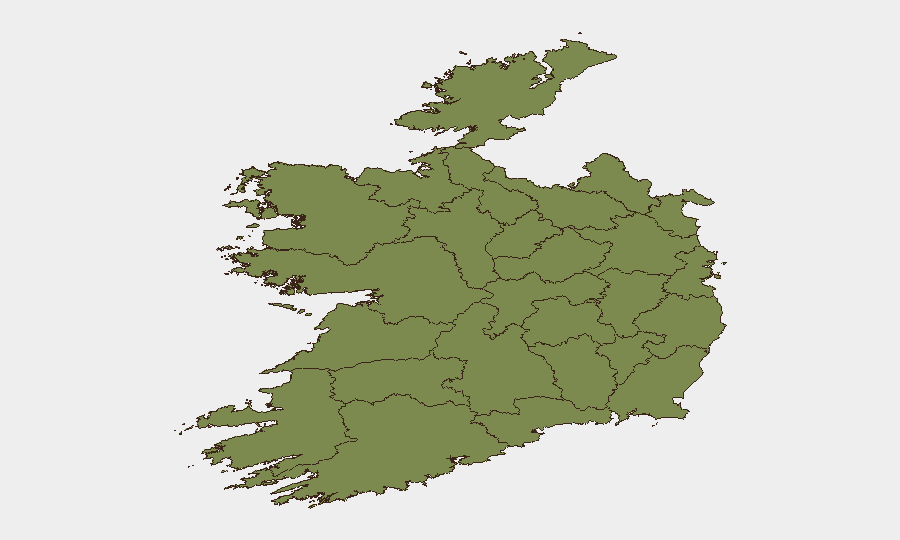
County Tipperary (risk 31.3) and County Dublin (risk 25.5) together account for the majority of tracked threat signals in Ireland and should be the focus of asset-protection and personnel-movement planning. Tipperary's elevated score is particularly notable given its rural character; risk drivers warrant specific investigation via GeoBit's entity extraction and sentiment analysis tools to distinguish between organized crime, protest activity, or infrastructure-related incidents. Dublin's risk reflects both the concentration of national institutions and international business presence there, making it a natural convergence point for policy disputes and civil action. All other counties score below 7, indicating substantially lower operational risk.
How GeoBit Would Assist
Intel Sweep and multi-language OSINT (X/Twitter, Telegram, YouTube) would enable real-time detection of emerging incidents in Tipperary and Dublin before they appear in mainstream media, reducing reaction time for security teams. AOI Monitoring & Early Warning with persistent geographic watch on high-risk counties and key facilities (ports, transport hubs, corporate campuses) would trigger automated alerts when event density or actor activity crosses predetermined thresholds, allowing proactive duty-of-care measures. Routing & Network Analysis can provide alternative journey planning for personnel transiting between Dublin and other regions, accounting for live protest activity or transport disruption.
7-Day Outlook
No major escalation vectors are visible in the current signal set; near-term risk is expected to remain within the baseline band. Continued monitoring of administrative and parliamentary activity is warranted, particularly around any policy announcements that could trigger civil engagement (June–July historically sees higher protest density in Dublin around EU and domestic legislative calendars). Organizations should maintain standard vigilance posture and refresh AOI watch parameters weekly as new events are indexed.
Highest-Risk Areas — Ranked
| # | State / Region | Risk |
|---|---|---|
| 1 | County Tipperary | 31.3 |
| 2 | County Dublin | 25.5 |
| 3 | County Kildare | 6.6 |
| 4 | County Meath | 3.9 |
| 5 | County Galway | 2.1 |
| 6 | County Clare | 2.1 |
| 7 | County Kilkenny | 2.1 |
| 8 | County Mayo | 1.3 |
| 9 | County Sligo | 1.3 |
| 10 | County Limerick | 1.3 |
| 11 | County Donegal | 1.3 |
| 12 | County Leitrim | 1.3 |
Sources
Previous Daily Briefs
A new Ireland brief is written every day — each with its own risk map and downloadable CSV. Here's the last week; use the calendar to go further back.
📅 Browse every day by calendar →
Highlighted days have a brief. Tap a day for that day's map & analysis, or “csv” for that day's dataset ($5).