Situation Summary
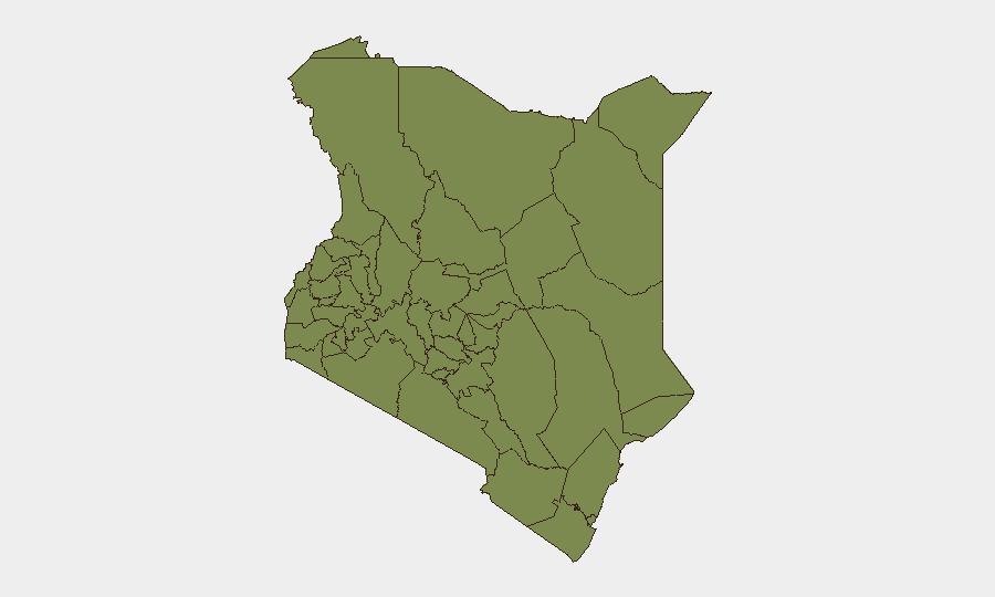
Kenya remains a moderate-risk operating environment (rank #79 globally, composite threat score 15) with 62 tracked security events in the current monitoring cycle. Risk is heavily concentrated in two zones: Samburu County (pastoral banditry, cross-border militia activity) and Nairobi County (urban crime, civil unrest, political tension). Recent event signals indicate a mix of inter-state friction, law-enforcement actions, media-related threats, and community-level armed incidents, suggesting fragmented rather than coordinated national instability. Overall trajectory is stable but with localized volatility, particularly in high-risk counties.
Key Developments
Data Limitation Notice: GeoBit's current research capability does not include real-time access to Kenyan media feeds, social platforms, or official sources for the 24–48 hour window of 2–3 July 2026. Event signals listed above (arrest/detain in Aden, threats from Kenyan actors, small-arms combat in community settings, media-related violence, and inter-state friction with Nigeria) are flagged in the intelligence stream but cannot be pinpointed to specific locations or times without live source corroboration.
To deliver actionable 24–48 hour bullets, security teams should:
- Pull live feeds from Citizen Digital, Nation, Standard, K24, KBC, and KNB (Kenya National Bureau of Statistics).
- Monitor official sources: Kenyan Police Service X account, Nairobi City County, Interior Ministry, and transport/infrastructure operators.
- Cross-check on X/Twitter with regional security accounts and on-the-ground journalists.
- Verify each incident with two independent sources (date, location, nature of event) before operational decision-making.
Once recent incidents are confirmed and de-duplicated, they should be classified by threat type (protest, banditry, enforcement action, infrastructure disruption, cross-border incident) and geo-tagged to county and neighborhood level.
Highest-Risk Areas
Samburu County (composite risk 32.4) and Nairobi County (26.2) together account for the majority of Kenya's tracked threat profile. Samburu faces persistent pastoral banditry, livestock raiding, and cross-border militia infiltration from neighboring regions; access and supply-chain routes through Samburu are vulnerable. Nairobi concentrates urban crime, organized crime networks, political protest activity, and law-enforcement operations; the CBD, informal settlements (Kibera, Mathare, Eastlands), and transport hubs (airport, port, rail terminals) are flashpoints. Meru County (11.4) shows lower but notable risk, likely linked to inter-communal disputes and resource competition. All other tracked counties fall below 5.0 and are secondary concern for most corporate operations.
How GeoBit Would Assist
Security and risk teams operating in Kenya should leverage AOI (Area-of-Interest) Monitoring & Early Warning on Samburu and Nairobi County to receive near-real-time alerts on protests, armed incidents, and enforcement actions. Intel Sweep (multi-language OSINT fusion, X/Twitter & Telegram monitoring, sentiment & temporal analysis) provides daily validation of media reports and social chatter to separate signal from noise and confirm incident timing and location. Conflict & Military (force structure, cross-border actor tracking) and Network & Actor Analysis help distinguish organized banditry from tribal disputes and flag emerging militia activity. Routing & Network Analysis supports alternative journey planning for staff and supply chains around active unrest zones.
7-Day Outlook
No evidence suggests imminent nationwide unrest or major policy shock. Risk will likely remain sub-national and episodic: small-arms incidents in pastoral areas, urban crime in Nairobi, and sporadic enforcement operations. Monitor for any escalation in media-related threats or political contestation around mid-year reviews or budget debates. Security posture should remain routine heightened, with dynamic routing and event-driven staff briefings in high-risk counties.
Highest-Risk Areas — Ranked
| # | State / Region | Risk |
|---|---|---|
| 1 | Samburu | 32.4 |
| 2 | Nairobi County | 26.2 |
| 3 | Meru County | 11.4 |
| 4 | Siaya County | 5.2 |
| 5 | Busia County | 2.4 |
| 6 | Kakamega County | 2.4 |
| 7 | Vihiga County | 2.4 |
| 8 | Nandi County | 2.4 |
| 9 | Elgeyo-Marakwet County | 2.4 |
| 10 | Uasin Gishu County | 2.4 |
| 11 | Baringo | 2.4 |
| 12 | Laikipia County | 2.4 |
Sources
Previous Daily Briefs
A new Kenya brief is written every day — each with its own risk map and downloadable CSV. Here's the last week; use the calendar to go further back.
📅 Browse every day by calendar →
Highlighted days have a brief. Tap a day for that day's map & analysis, or “csv” for that day's dataset ($5).