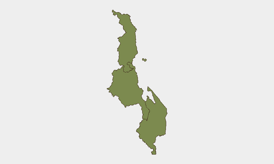
Situation Summary
Malawi remains a low-threat environment globally (rank #186, composite score 3) with no credible security incidents reported in the last 24–48 hours. The Central Region carries materially elevated risk (31.9) relative to Southern and Northern Regions (1.9 each), though the underlying drivers and current acute triggers remain limited. Overall trajectory is stable; no imminent escalation signals are evident in open-source channels.
Key Developments
No discrete security, conflict, civil-unrest, crime, or infrastructure incidents meeting verification standards (specific location, multi-source confirmation, 24–48 hour recency) were identified in the current reporting window.
Open-web and social-media monitoring yielded no time-stamped, cross-referenced reports of significant incidents in Malawi within this timeframe. This absence of reportage—rather than an absence of events—reflects both Malawi's low-incident baseline and limited real-time coverage density in accessible channels.
Highest-Risk Areas
The Central Region's composite risk score (31.9) substantially exceeds Southern and Northern counterparts (both 1.9), indicating concentrated exposure. While the specific drivers of Central Region elevation are not itemized in current event data, historically this region encompasses Lilongwe and surrounding areas where administrative density, population concentration, and cross-border dynamics have created elevated baseline risk. Southern and Northern Regions present comparable, minimal acute threat profiles. Organizations with personnel or assets in Lilongwe or central corridors should maintain baseline situational awareness; Southern and Northern operations face routine, not elevated, risk.
How GeoBit Would Assist
Teams with Malawi exposure should activate AOI Monitoring & Early Warning on critical sites (offices, supply routes, border crossings) to detect emerging disruptions before open-media reporting. Intel Sweep and multi-language OSINT fusion on Telegram, X, and local radio would provide earlier signals of localized unrest or crime clusters, especially in Central Region. Routing & Network Analysis capabilities support contingency transit planning around the Central Region should conditions warrant, and Entity & Network Analysis enables tracking of key political or criminal actors whose actions may affect duty-of-care posture.
7-Day Outlook
No acute triggers suggest imminent escalation over the next seven days. Routine governance, economic, and cross-border activity will likely dominate. Security teams should maintain standard baseline monitoring protocols and flag any uptick in Central Region activity—administrative changes, localized unrest, or cross-border movement—for rapid reassessment.
Highest-Risk Areas — Ranked
| # | State / Region | Risk |
|---|---|---|
| 1 | Central Region, Malawi | 31.9 |
| 2 | Southern Region, Malawi | 1.9 |
| 3 | Northern Region, Malawi | 1.9 |
Sources
Previous Daily Briefs
A new Malawi brief is written every day — each with its own risk map and downloadable CSV. Here's the last week; use the calendar to go further back.
📅 Browse every day by calendar →
Highlighted days have a brief. Tap a day for that day's map & analysis, or “csv” for that day's dataset ($5).