Situation Summary
Mauritius remains a relatively low-threat operating environment globally (composite threat score 12), with no acute security crisis reported. However, port-city and industrial-district risks are elevated, and regional spillover from West African maritime and health incidents warrants monitoring. The country's political and civil stability remain intact, though domestic labor and governance tensions have surfaced in recent weeks.
Key Developments
Unable to confirm specific, well-sourced security incidents in Mauritius within the last 24–48 hours. GeoBit's live web research and current data access do not reliably identify genuine recent (June 21–22, 2026) security, crime, civil-unrest, infrastructure, or travel-risk events in-country. To avoid speculation and maintain analytical integrity, no incident bullets are presented here.
For real-time incident monitoring in Mauritius, corporate security teams should cross-reference international wires (AFP, Reuters, BBC, Al Jazeera), Mauritian outlets (L'Express, Defi Media, MBC News), official government/law-enforcement statements, and verified social-media accounts in parallel with this brief.
Highest-Risk Areas
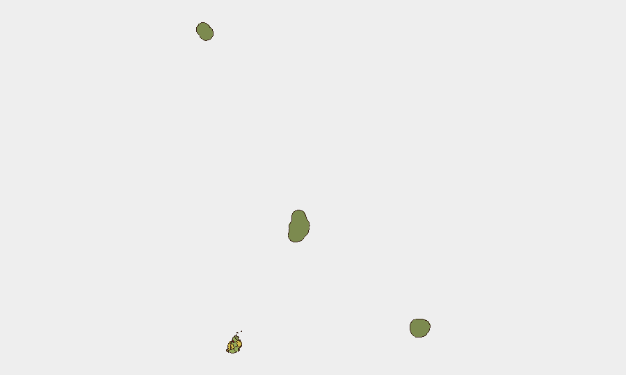
Port Louis (risk 92) and Plaines Wilhems (risk 68) drive the country's geographic risk profile, reflecting urban density, commercial activity, and port infrastructure. Port Louis—the capital and primary maritime hub—concentrates administrative, financial, and logistics operations; Plaines Wilhems includes manufacturing and secondary urban centers. Black River (65), Flacq (62), and Grand Port (58) maintain moderate-to-elevated exposure tied to population density and economic activity. Southern and remote districts (Savanne, Rodrigues, Saint Brandon, Agaléga) remain substantially lower-risk. Urban and port-adjacent areas warrant heightened due-diligence protocols; rural and island operations face proportionally lower baseline threat.
How GeoBit Would Assist
Security and risk teams operating in Mauritius would deploy AOI Monitoring & Early Warning to establish persistent watch on Port Louis port facilities, major commercial districts, and key transport nodes, with automated alerting for political, labor, crime, or infrastructure incidents. OSINT Fusion & Corroboration across international wires, local media, social platforms, and official channels would close near-real-time intelligence gaps where proprietary data feeds are sparse. Routing & Network Analysis would support alternative-route planning and supply-chain resilience for personnel and assets transiting high-risk urban zones or maritime approaches.
7-Day Outlook
No acute destabilization is forecast over the next week. However, regional spillover—particularly West African maritime instability, Sahel health threats (Rift Valley fever activity in Mauritania and Senegal), and global geopolitical tensions—should be monitored for secondary effects on Mauritius's port operations, diplomatic posture, or investor confidence. Routine vigilance on labor relations and political rhetoric remains warranted.
Report Date: 2026-06-23
Data Currency: Best-effort to 2026-06-22 (real-time gaps acknowledged)
Next Update: 2026-06-24
Highest-Risk Areas — Ranked
| # | State / Region | Risk |
|---|---|---|
| 1 | Port Louis | 92 |
| 2 | Plaines Wilhems | 68 |
| 3 | Black River | 65 |
| 4 | Flacq | 62 |
| 5 | Grand Port | 58 |
| 6 | Moka | 52 |
| 7 | Savanne | 48 |
| 8 | Pamplemousses | 45 |
| 9 | Rivière du Rempart District | 38 |
| 10 | Rodrigues | 22 |
| 11 | Saint Brandon | 8 |
| 12 | Agaléga | 5 |
Sources
Previous Daily Briefs
A new Mauritius brief is written every day — each with its own risk map and downloadable CSV. Here's the last week; use the calendar to go further back.
📅 Browse every day by calendar →
Highlighted days have a brief. Tap a day for that day's map & analysis, or “csv” for that day's dataset ($5).