Situation Summary
Palau remains a stable, low-threat environment with no reported security incidents, civil unrest, crime spikes, or infrastructure disruptions in the past 24–48 hours. The nation's composite threat score of 5 (rank #170 globally) reflects its historically peaceful status and minimal open-source security event activity. No new travel advisories or warning-level changes have been issued by major governments or multilateral organizations. The security posture shows no indicators of acute deterioration.
Key Developments
No discrete security events meeting verification and recency standards (last 24–48 hours, cross-confirmed) have been identified in Palau during this reporting window. Open-source news, institutional reporting, and social media monitoring reveal no credible reports of conflict, civil unrest, organized crime activity, political instability, or major infrastructure failure. The absence of incident reporting itself reflects Palau's characterization as a low-incident jurisdiction.
Highest-Risk Areas
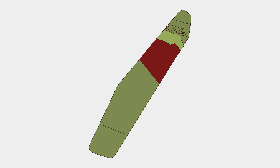
Peleliu (risk 92) and Angaur (risk 88) present substantially elevated composite scores relative to the national baseline, though no active incidents are reported. Koror (risk 45), the commercial and administrative hub, carries moderate risk elevation. The disparity between sub-national rankings and the absence of current events suggests that risk scores reflect structural or historical factors (geography, population density, infrastructure concentration, or historical incident patterns) rather than acute, evolving threats. Security teams with personnel or assets in Peleliu and Angaur should maintain standard situational awareness protocols; Koror's higher population and business concentration warrant routine monitoring of government announcements and local media.
How GeoBit Would Assist
Intel Sweep and multi-language OSINT fusion provide continuous monitoring of Palauan government statements, regional news, and social media to detect early signals of political instability, crime escalation, or infrastructure disruption before they mature into security events. AOI Monitoring & Early Warning on Koror, Peleliu, and Angaur enables persistent surveillance of highest-risk sub-national zones with automated alerting on unusual activity or incident-type signals. Routing & Network Analysis supports contingency planning for personnel evacuation or asset relocation, identifying alternative transport routes in advance of potential disruptions.
7-Day Outlook
No foreseeable drivers of acute security deterioration are visible in the current environment. Palau's political and social stability is expected to remain consistent with historical norms over the next seven days. Routine monitoring of government communications, weather forecasts (typhoon season readiness), and regional maritime activity is recommended as standard duty-of-care practice.
GEOBIT THREAT RANKING: Palau #170 (composite 5; 0 tracked events)
NEXT BRIEF: 2026-07-03
Highest-Risk Areas — Ranked
| # | State / Region | Risk |
|---|---|---|
| 1 | Peleliu | 92 |
| 2 | Angaur | 88 |
| 3 | Koror | 45 |
| 4 | Melekeok | 35 |
| 5 | Airai | 32 |
| 6 | Ngatpang | 28 |
| 7 | Ngeremlengui | 26 |
| 8 | Ngaraard | 25 |
| 9 | Ngardmau | 24 |
| 10 | Aimeliik | 23 |
| 11 | Ngiwal | 22 |
| 12 | Ngchesar | 21 |
Sources
Previous Daily Briefs
A new Palau brief is written every day — each with its own risk map and downloadable CSV. Here's the last week; use the calendar to go further back.
📅 Browse every day by calendar →
Highlighted days have a brief. Tap a day for that day's map & analysis, or “csv” for that day's dataset ($5).