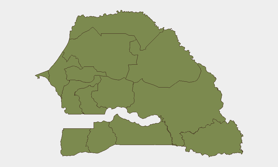
Situation Summary
Senegal remains a stable, low-threat environment in West Africa, ranking 185th globally on GeoBit's composite threat index with a score of 3. No credible, location-specific security incidents have been confirmed in Senegal during the last 24–48 hours from available open-source channels. The security landscape remains dominated by localized administrative and political statements rather than acute conflict, unrest, or infrastructure disruption.
Key Developments
No verified security incidents, civil unrest, crime escalations, or travel-risk events specific to Senegal have been corroborated from multi-source reporting in the period 2026-07-01 through 2026-07-03. Available web signals for the last 24–48 hours consist primarily of sports coverage (World Cup matches), diplomatic statements, and unrelated regional events. Any operational assessment of current conditions should be supplemented by real-time monitoring of Senegalese media (RFI Afrique, Dakar-based outlets) and foreign ministry travel advisories.
Highest-Risk Areas
Tambacounda Region stands as the clear outlier in GeoBit's sub-national ranking, with a composite risk score of 31.8—more than 17 times higher than any other Senegalese region. All remaining 11 tracked regions cluster at 1.8, indicating Tambacounda's risk profile is driven by specific factors (cross-border activity, trafficking routes, or historical instability patterns) that warrant targeted monitoring. Dakar, despite its role as the capital and economic hub, does not show elevated risk in the current dataset. Organizations with personnel or assets in Tambacounda Region should maintain heightened situational awareness and consider restricted-movement protocols; those in other regions face baseline West African operational risks only.
How GeoBit Would Assist
Security teams should deploy GeoBit's AOI (Area-of-Interest) Monitoring & Early Warning capability on Tambacounda Region with persistent alerting for cross-border activity, trafficking indicators, and political/administrative developments. OSINT fusion (X/Twitter, Telegram, local media in French and Wolof, plus geolocated imagery) would provide real-time corroboration of rumors or unconfirmed reports circulating in-country. Multi-language search and entity extraction across Senegalese government, security-sector, and civil-society sources would enable rapid detection of policy changes, travel restrictions, or emerging tensions before they affect operations.
7-Day Outlook
Senegal's security posture is expected to remain stable over the next seven days. Continued monitoring of Tambacounda's border zones and any announcements from Senegalese authorities is prudent; no escalation indicators are currently visible. Duty-of-care teams should maintain standard operational protocols and refresh travel advisories if any regional developments emerge.
Highest-Risk Areas — Ranked
| # | State / Region | Risk |
|---|---|---|
| 1 | Tambacounda Region | 31.8 |
| 2 | Dakar Region | 1.8 |
| 3 | Louga Region | 1.8 |
| 4 | Thiès Region | 1.8 |
| 5 | Fatick Region | 1.8 |
| 6 | Diourbel Region | 1.8 |
| 7 | Kaolack Region | 1.8 |
| 8 | Saint-Louis Region | 1.8 |
| 9 | Kaffrine Region | 1.8 |
| 10 | Ziguinchor Region | 1.8 |
| 11 | Sédhiou Region | 1.8 |
| 12 | Kolda Region | 1.8 |
Previous Daily Briefs
A new Senegal brief is written every day — each with its own risk map and downloadable CSV. Here's the last week; use the calendar to go further back.
📅 Browse every day by calendar →
Highlighted days have a brief. Tap a day for that day's map & analysis, or “csv” for that day's dataset ($5).