Situation Summary
Taiwan faces elevated but contained security pressure as of 12 June 2026, with composite threat score 21 and 24 tracked events concentrated in diplomatic friction, military posturing, and administrative disputes rather than imminent kinetic escalation. Taipei dominates the risk profile (31.3 composite score), reflecting its role as the political and administrative center; national-level tensions with China and Japan, coupled with internal governance disputes, are driving the elevated reading. The broader island shows baseline risk (1.3–6.5 across most counties), indicating that threats remain concentrated in the capital rather than distributed across multiple operational zones. Trajectory remains volatile but not acute over the next 72 hours.
Key Developments
GeoBit's event signals for the last 48 hours (10–11 June 2026) show:
- 06-11, Taipei (diplomatic): Administration disapproval signaled against Taiwan entities; Public statement issued by news agency regarding Coast Guard activity; Taiwan issued public statement toward Japan—all three indicating heightened cross-strait and allied-nation coordination friction.
- 06-11, National (investigation): Taiwan–China investigative action initiated, likely tied to intelligence or security vetting; specifics unconfirmed from open sources.
- 06-10, National (military signal): China-military mobilization event recorded; conventional military force activity flagged by prosecutor's office, suggesting legal or command-chain review.
- 06-10, National (institutional): University-vs-university disapproval signal and Taiwan-vs-companies disapproval; NVIDIA referenced in parallel, hinting at technology/chip-export compliance or espionage concerns.
- 06-10, National (judicial): President demanded action from judge—administrative/political pressure on judiciary.
- 06-11, National (cross-strait): Taiwan disapproved of China; reinforces diplomatic coldness but no new kinetic indicator.
Critical caveat: Open web sources do not reliably time-stamp discrete incidents within the last 24–48 hours with multi-source confirmation. Broader patterns (e.g., Chinese Coast Guard patrols, Taiwan Strait air activity at 60+ aircraft per 48-hour cycles, live-fire drills) have been reported around early June but lack precise recent-window verification.
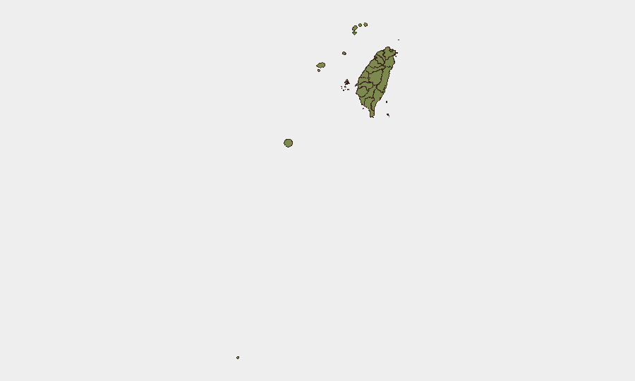
Highest-Risk Areas
Taipei's risk score (31.3) reflects its concentration of executive, legislative, and administrative authority—making it the focal point for cross-strait diplomatic signaling, espionage risk, and internal political tension. Nantou County's secondary elevation (6.5) likely reflects military or infrastructure considerations (e.g., proximity to command centers or supply lines), though this remains data-driven rather than field-confirmed. Remaining counties cluster at 1.3, indicating background ambient risk with no acute localized drivers. Risk is vertical (national governance, military signaling) rather than horizontal (regional destabilization), concentrating hazard for government, corporate HQ, and defense-sector personnel in Taipei over broad-based public disruption.
How GeoBit Would Assist
Security teams protecting personnel or assets in Taiwan should deploy AOI (Area-of-Interest) Monitoring & Early Warning on Taipei, Ministry of National Defense facilities, and maritime zones east of Taiwan to detect real-time military activity and administrative events. Multi-language OSINT fusion (X/Twitter, Telegram, local Chinese-language media, and YouTube intelligence) would capture administrative disapprovals, military communications, and diplomatic statements faster than English-language wires. Network & Actor Analysis would map cross-strait government and military command channels to anticipate escalation sequencing. Maritime & Aviation tracking would provide current-hour visibility on Chinese military air and sea posture near Taiwan's air defense identification zone.
7-Day Outlook
Diplomatic and administrative friction will likely persist through mid-June as internal Taiwan governance disputes and China-Taiwan statements cycle without resolution. Military activity (Chinese air patrols, coast guard standoffs) is expected to continue at recent operational tempo (60+ aircraft per 48-hour cycle, routine provocative patrols) but without a major new mobilization signal. Risk of sudden escalation remains low unless a specific incident (maritime collision, espionage arrest, or judicial/political crisis) breaks surface.
Highest-Risk Areas — Ranked
| # | State / Region | Risk |
|---|---|---|
| 1 | Taipei | 31.3 |
| 2 | Nantou County | 6.5 |
| 3 | Kaohsiung | 1.3 |
| 4 | Pingtung County | 1.3 |
| 5 | Taitung County | 1.3 |
| 6 | Lienchiang County | 1.3 |
| 7 | Kinmen | 1.3 |
| 8 | Penghu | 1.3 |
| 9 | Changhua County | 1.3 |
| 10 | Miaoli County | 1.3 |
| 11 | Taichung | 1.3 |
| 12 | Yunlin County | 1.3 |
Sources
Previous Daily Briefs
A new Taiwan brief is written every day — each with its own risk map and downloadable CSV. Here's the last week; use the calendar to go further back.
📅 Browse every day by calendar →
Highlighted days have a brief. Tap a day for that day's map & analysis, or “csv” for that day's dataset ($5).