Situation Summary
Vanuatu remains at low acute security risk with no verified violent incidents, civil unrest, or infrastructure disruption in the last 24–48 hours. The current threat landscape is shaped by political and diplomatic developments rather than active conflict or crime spikes. A high-level government consultation scheduled for 15 July on the Matthew and Hunter Islands sovereignty dispute with France represents the primary area of political focus, but poses no immediate security risk to personnel or assets.
Key Developments
- Port Vila – 14 July 2026: Vanuatu government announced it will convene surviving independence pioneers and former national leaders on 15 July to discuss next steps in the Matthew and Hunter Islands sovereignty dispute following stalled bilateral talks with France. No associated protests, unrest, or security incidents have been reported locally.
- Nationwide – 13–14 July 2026: Commercial security monitoring confirms no verified acute crime, civil unrest, port/airport disruption, or infrastructure failures recorded in the preceding 24–48 hours. Travel and port conditions remain stable.
- Nationwide – 13–14 July 2026: No new tsunami alerts or damage assessed from recent offshore seismic activity (M 4.6, 28 km east of Port-Olry, 13 July). Standard safety precautions remain in effect but no elevated risk guidance has been issued by major foreign travel advisories.
- Port Vila and provincial centres – 13–14 July 2026: No tracked acute crime spikes, unrest events, or travel-disrupting incidents during this period. Security conditions across the capital and regional centres remain within normal parameters.
Highest-Risk Areas
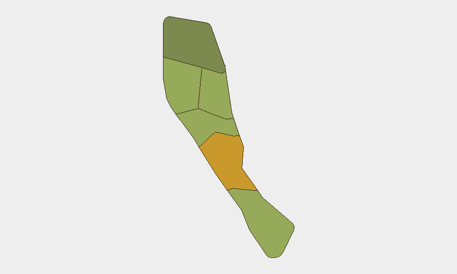
Shefa Province (risk score 72) dominates the sub-national threat ranking, driven primarily by Port Vila's status as the capital and concentration of commercial, political, and maritime activity. Penama (58) and Sanma (52) follow as secondary concern areas; risk in these provinces reflects a combination of remoteness, limited official presence, and susceptibility to maritime and cross-border activity. Malampa, Tafea, and Torba carry lower but non-negligible scores. Risk drivers across all provinces remain chronic rather than acute—limited police capacity, geographic fragmentation, and economic vulnerability—with no current spike in violence or organized crime reported.
How GeoBit Would Assist
Security teams managing personnel or assets in Vanuatu would benefit from AOI Monitoring & Early Warning on Port Vila and provincial centres to detect any escalation in unrest, crime, or infrastructure disruption; OSINT & multi-language search to track diplomatic developments and social-media sentiment around the Matthew/Hunter Islands dispute; and Maritime & Aviation tracking to maintain situational awareness of port and airport activity, particularly during periods of political focus. Routing & Network Analysis supports contingency planning and alternative transit routes should conditions in Shefa or other high-risk provinces deteriorate.
7-Day Outlook
The 15 July government consultation on the Matthew and Hunter Islands dispute is unlikely to produce acute security incidents but may elevate political rhetoric and media activity. No indicators currently suggest imminent unrest, crime escalation, or infrastructure disruption. Monitoring should remain routine, with focus on any spillover from diplomatic outcomes into public sentiment or protest activity.
Highest-Risk Areas — Ranked
| # | State / Region | Risk |
|---|---|---|
| 1 | Shefa Province | 72 |
| 2 | Penama | 58 |
| 3 | Sanma | 52 |
| 4 | Malampa | 48 |
| 5 | Tafea | 45 |
| 6 | Torba | 35 |
Sources
Previous Daily Briefs
A new Vanuatu brief is written every day — each with its own risk map and downloadable CSV. Here's the last week; use the calendar to go further back.
📅 Browse every day by calendar →
Highlighted days have a brief. Tap a day for that day's map & analysis, or “csv” for that day's dataset ($5).
Atlas — our AI intelligence desk — emails them this snapshot personally. Nothing else, no list.