Situation Summary
Taiwan's security environment has sharply escalated over the past 48 hours, marked by concurrent military exercises, coast guard confrontations, sustained airspace incursions, and reported cyber operations targeting critical infrastructure. The intensity and coordination of Chinese pressure—spanning conventional military operations, maritime grey-zone tactics, and cyber activity—reflects a sustained coercive posture rather than a one-off provocation. Risk concentration in Taipei and coastal regions reflects both the political/command-center value of the capital and the operational focus on maritime and amphibious threat vectors. The security outlook remains volatile with no near-term de-escalation signals.
Key Developments
- Taoyuan City, 12 June – Taiwan's military conducted live-fire tests of U.S.-supplied mobile rocket launchers into the Taiwan Strait, characterized by defense analysts as a significant show of force amid elevated PLA activity.
- Western coastal range (undisclosed), 12 June – Taiwan executed coastal defense drills simulating amphibious invasion response, including anti-ship missile employment and rapid coastal reaction exercises, with footage widely shared by defense observers.
- Taiwan Strait near western maritime boundary, 11–12 June – Four Chinese coast guard vessels entered Taiwan-controlled waters before being expelled by Taiwan's coast guard; the incident is assessed as part of intensified grey-zone pressure operations.
- Taiwan ADIZ and adjacent airspace, 48 hours to early 12 June – Taiwan's Ministry of National Defense reported dozens of Chinese military aircraft operating near the island within a 48-hour period, with significant numbers crossing into Taiwan's air defense identification zone, characterizing the tempo as near-daily.
- Taipei and island-wide networks, 11–12 June – Taiwan officials and local cybersecurity specialists reported sustained high-volume hostile cyber activity targeting critical infrastructure and government systems, quantified as "millions of cyber threats daily."
- South China Sea analysis (released in Taipei), 11–12 June – A Taiwan government-commissioned report warned that China's fortified South China Sea outposts could occupy U.S./allied forces for 48–72 hours in a Taiwan contingency, with implications for regional travel and shipping security calculations.
- Taipei, 11–12 June – Taiwanese officials reiterated that the Chinese military threat is "growing" and U.S. regional strategy remains uncertain, framing recent PLA activity as part of a broader coercive campaign.
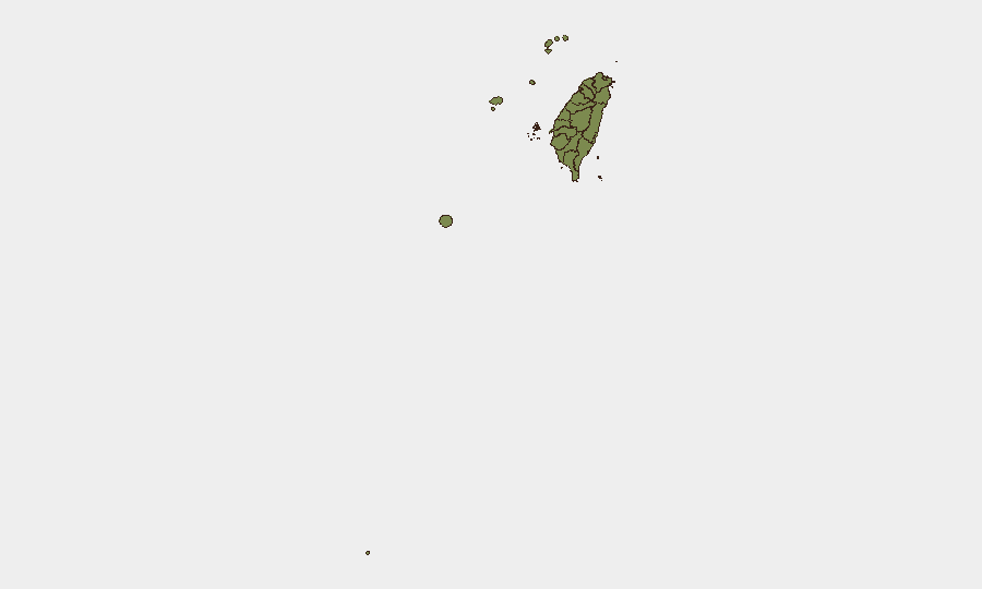
Highest-Risk Areas
Taipei dominates the risk ranking (31.3) due to its status as the political, economic, and military command center; it is both the primary target for coercive messaging and the focal point for cyber and intelligence operations. Nantou County (5.4) represents a secondary concentration, likely reflecting inland critical infrastructure, military installations, or strategic chokepoints. Coastal regions—New Taipei, Kaohsiung, Pingtung, Kinmen, and Lienchiang—cluster at lower but persistent risk (1.3–3.0), consistent with direct exposure to maritime grey-zone operations and amphibious contingency planning. The risk profile aligns with demonstrated Chinese operational focus: capital-level political/military coercion in Taipei and coordinated maritime/coastal pressure along the strait.
How GeoBit Would Assist
Security teams would employ AOI Monitoring & Early Warning on Taipei's critical infrastructure and coastal zones to detect real-time changes in military or cyber activity, paired with Maritime & Aviation Tracking to correlate PLA and coast guard movements. Conflict & Military capabilities (force structure, weapons-capability tracking, battle mapping) provide persistent visibility into exercise patterns and threat posture escalation. Cyber threat & infrastructure search combined with OSINT fusion (X/Telegram, government statement corroboration, multi-language feeds) enables continuous monitoring of both declared military operations and unreported cyber/grey-zone incidents.
7-Day Outlook
Expect continuation of coordinated pressure across military, maritime, and cyber domains with no immediate ceasefire signals. Taiwan's defensive exercises and public statements suggest readiness to escalate demonstratively in response. Any additional U.S. military activity, supply announcements, or high-level political visits would likely trigger intensified PLA operations within 24–72 hours.
Highest-Risk Areas — Ranked
| # | State / Region | Risk |
|---|---|---|
| 1 | Taipei | 31.3 |
| 2 | Nantou County | 5.4 |
| 3 | New Taipei | 3 |
| 4 | Kaohsiung | 1.3 |
| 5 | Pingtung County | 1.3 |
| 6 | Taitung County | 1.3 |
| 7 | Lienchiang County | 1.3 |
| 8 | Kinmen | 1.3 |
| 9 | Penghu | 1.3 |
| 10 | Changhua County | 1.3 |
| 11 | Miaoli County | 1.3 |
| 12 | Taichung | 1.3 |
Sources
Previous Daily Briefs
A new Taiwan brief is written every day — each with its own risk map and downloadable CSV. Here's the last week; use the calendar to go further back.
📅 Browse every day by calendar →
Highlighted days have a brief. Tap a day for that day's map & analysis, or “csv” for that day's dataset ($5).