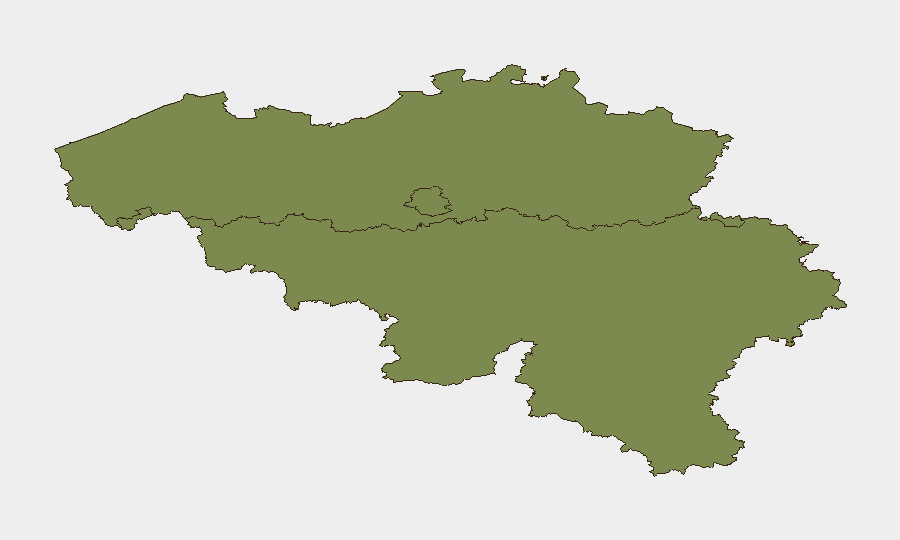
Situation Summary
Belgium faces elevated but geographically concentrated security risk, with composite threat score 23 and 17 tracked events. Brussels-Capital dominates risk exposure (31.3), driven by a sharp escalation of drug-related criminal violence in western communes over the past 48 hours. Broader geopolitical tensions—including a NATO espionage case, diplomatic friction with Russia, and EU regulatory disputes—create additional ambient concern, but pose lower immediate physical risk to corporate operations outside Brussels's affected neighbourhoods.
Key Developments
- Anderlecht, Rue Raphaël / Chaussée de Mons (28–29 July, ~01:00): Male victim shot in the leg; transported to hospital in stable condition. Police linked incident to ongoing drug-trafficking violence.
- Molenbeek, Avenue du Roovere near Beekkant metro (28–29 July, ~02:15): Shooting with multiple bullet impacts on building entrance; no casualties reported. Second investigation opened; authorities attribute to inter-network territorial conflict.
- Molenbeek, Rue Heyvaert neighbourhood (27–28 July, overnight): Individual shot in the leg amid series of recent incidents; described by local council as intimidation and criminal-network conflict.
- Molenbeek, residential area (28–29 July, night): Explosion in front of residential building confirmed by Brussels fire services; investigation ongoing.
- Molenbeek, multiple zones (28 July announcement): Municipal authorities announced reinforced police and federal support, plus temporary gathering bans on Avenue du Roovere, Heyvaert, and adjacent streets in response to escalating shootings and explosion cluster.
- Mons, NATO SHAPE HQ (arrest public 25 July; Canadian response 27 July): Canadian intern arrested on espionage and criminal-organisation charges; Canada's Public Safety Minister confirmed allegations are "quite serious," signalling active intelligence-community concern and international scrutiny.
Highest-Risk Areas
Brussels-Capital (31.3) is the sole high-risk region; Flanders and Wallonia register equivalent baseline scores (1.3 each). Risk concentration in Brussels reflects acute criminal-violence escalation in Molenbeek and Anderlecht over 48 hours, specifically drug-network territorial disputes manifesting in shooting clusters and explosive devices. Corporate facilities, staff residences, and transit routes in these western communes face elevated incident probability; central and eastern Brussels and operations in Flanders or Wallonia experience normal operational risk.
How GeoBit Would Assist
Corporate security teams should deploy AOI Monitoring & Early Warning on Molenbeek and Anderlecht postcodes to detect emerging incident clusters and police responses in real time. Intel Sweep combined with X/Twitter & Telegram OSINT will track local criminal-network communications and police tactical updates; Risk & Threat Assessment will flag escalation or de-escalation signals daily. For staff in or transiting affected areas, Routing & Network Analysis provides alternative-journey planning around police cordons and hotspots, reducing unnecessary exposure.
7-Day Outlook
Criminal violence in western Brussels is likely to remain elevated over the next 3–5 days as police operations intensify and territorial disputes persist; incident frequency may stabilize once enforcement presence becomes routine. The NATO espionage case will generate diplomatic and administrative activity but poses no direct operational threat to commercial entities. Monitor municipal gathering bans and police advisories closely; short-term business continuity should account for sporadic transport disruption and staff-safety protocols in Molenbeek and Anderlecht.
Highest-Risk Areas — Ranked
| # | State / Region | Risk |
|---|---|---|
| 1 | Brussels-Capital | 31.3 |
| 2 | Flanders | 1.3 |
| 3 | Wallonia | 1.3 |
Sources
Previous Daily Briefs
A new Belgium brief is written every day — each with its own risk map and downloadable CSV. Here's the last week; use the calendar to go further back.
📅 Browse every day by calendar →
Highlighted days have a brief. Tap a day for that day's map & analysis, or “csv” for that day's dataset ($5).
Atlas — our AI intelligence desk — emails them this snapshot personally. Nothing else, no list.